Thrasher in Prentiss County, Mississippi — The American South (East South Central)
Campground Cemetery
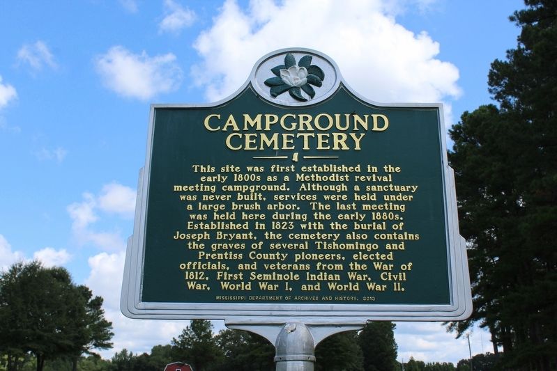
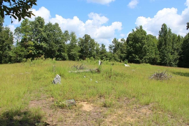
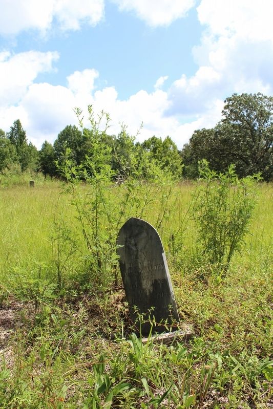
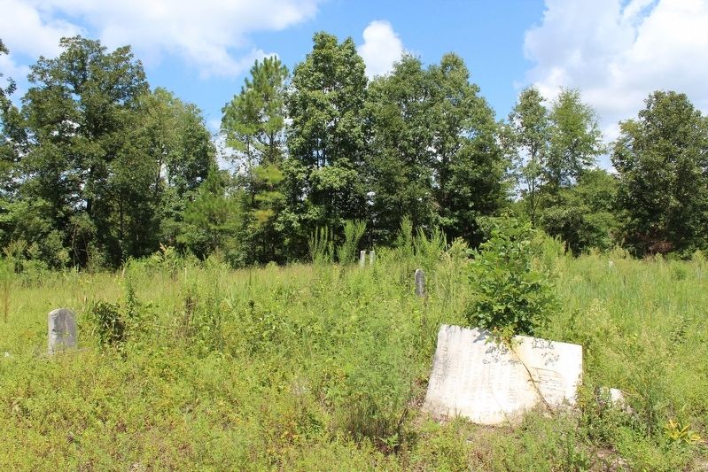
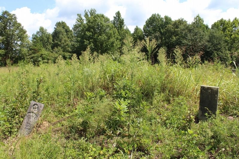
This site was first established in the early 1800s as a Methodist revival meeting campground. Although a sanctuary was never built, services were held under a large brush arbor. The last meeting was held here during the 1880s. Established in 1823 with the burial of Joseph Bryant, the cemetery also contains the graves of several Tishomingo and Prentiss County pioneers, elected officials, and veterans from the War of 1812, First Seminole Indian War, Civil War, World War I, and World War II.
Erected 2013 by Mississippi Department of Archives and History.
Topics and series. This historical marker is listed in this topic list: Cemeteries & Burial Sites. In addition, it is included in the Mississippi State Historical Marker Program series list. A significant historical year for this entry is 1823.
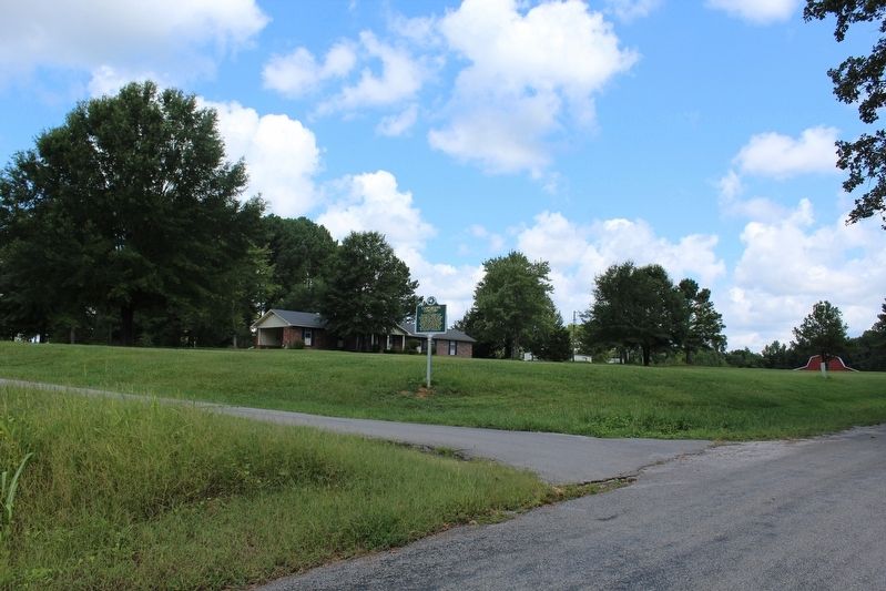
Location. 34° 43.623′ N, 88° 32.858′ W. Marker is in Thrasher, Mississippi, in Prentiss County. Marker is on County Road 1021, half a mile south of County Road 1060, on the left when traveling north. Touch for map. Marker is in this post office area: Booneville MS 38829, United States of America. Touch for directions.
Other nearby markers. At least 8 other markers are within 8 miles of this marker, measured as the crow flies. Samuel L. Neely (approx. 3 miles away); Booneville (approx. 4.1 miles away); Booneville Armory (approx. 4.3 miles away); Capture Of Booneville (approx. 5 miles away); Council of War (approx. 5.1 miles away); Battle of Booneville (approx. 5.7 miles away); Jacinto (approx. 7.2 miles away); Andrew Boyd Dilworth (approx. 7.4 miles away).
Credits. This page was last revised on August 30, 2020. It was originally submitted on August 29, 2020, by Tom Bosse of Jefferson City, Tennessee. This page has been viewed 221 times since then and 41 times this year. Photos: 1, 2, 3, 4, 5, 6. submitted on August 29, 2020, by Tom Bosse of Jefferson City, Tennessee. • Bernard Fisher was the editor who published this page.
