Iron Hill Park near Newark in New Castle County, Delaware — The American Northeast (Mid-Atlantic)
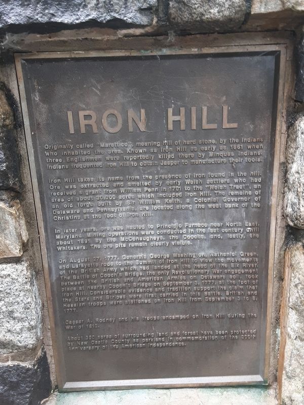
Iron Hill
Originally called "Marettico", meaning hill of hard stone, by the Indians who inhabited this area. Known as Iron Hill as early as 1661 when three Englishmen were reportedly killed there by Minquas Indians. Indians frequented Iron Hill to obtain Jasper to manufacture their tools.
Iron Hill takes its name from the presence of iron found in the hills. Ore was extracted and smelted by early Welsh settlers who had received a grant from William Penn in 1701 to the "Welsh Tract", an area of about 30,000 acres which included Iron Hill. The remains of an old forge built by Sir William Keith, a Colonial Governor of Delaware and Pennsylvania, are located along the west bank of the Christina at the foot of Iron Hill.
In later years, ore was shipped to Principio Furnace near North East, Maryland. Mining operations were conducted in the last century until about 1891 by the McConaugheys, the Coochs, and, lastly, the Whitakers. The ore pits remain clearly visible.
On August 27, 1777, Generals George Washington, Nathaniel Green, and Lafayette rode to the Summit of Iron Hill to observe the movements of the British Army which had landed at the head of Elk River. The Battle of Cooch's Bridge, the only Revolutionary War engagement between the British and American Armies on Delaware soil, took place at nearby Cooch's Bridge on September 3, 1777, at the foot of Iron Hill. Considerable evidence and tradition support the claim that the Stars and Stripes were first carried in this Battle. British and Hessian troops were stationed on Iron Hill from September 3 to 8, 1777.
Caesar A. Rodney and his troops camped on Iron Hill during the War of 1812.
About 300 acres of surrounding land and forest have been protected by New Castle County as parkland in commemoration of the 200th Anniversary of American Independence.
Topics. This historical marker is listed in these topic lists: Colonial Era • Industry & Commerce • War of 1812 • War, US Revolutionary. A significant historical year for this entry is 1661.
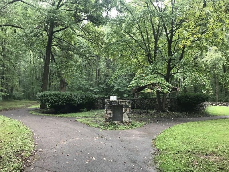
Location. 39° 38.349′ N, 75° 45.349′ W. Marker is near Newark, Delaware, in New Castle County. It is in Iron Hill Park. Marker is on Robert L. Melson Lane near Whitaker Road, on the right when traveling north. Although Whitaker Road is named above (because Robert L. Melson Lane intersects it), the Lane is blocked at Whitaker Road, so Iron Hill Park, which includes this marker, has to be reached by road from Old Baltimore Pike. Touch for map. Marker is at or near this postal address: 1535 Iron Hill Rd, Newark DE 19702, United States of America. Touch for directions.
Other nearby markers. At least 8 other markers are within walking distance of this marker. Robert V. Yost (a few steps from this marker); Exploring the Past of Pencader Hundred (within shouting distance of this marker); The March Through Pencader (within shouting distance of this marker); In the Beginning … (within shouting distance of this marker); Historic Iron Ore Mining (within shouting distance of this marker); Welsh Tract (within shouting distance of this marker); a different marker also named Iron Hill (approx. 0.3 miles away); Washington's Reconnaissance (approx. half a mile away). Touch for a list and map of all markers in Newark.
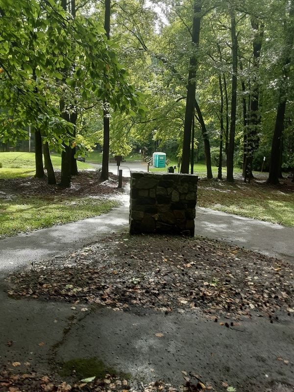
More about this marker. The marker is at the north end of the road.
Regarding Iron Hill. In paragraph 3: Principio Furnace is closer to Perryville than it is to North East. Reference to last century suggests that these remarks were written during the 20th century.
In paragraph 5: Caesar A. Rodney is nephew of (signer of Declaration of Independence) Caesar Rodney.
Credits. This page was last revised on December 31, 2023. It was originally submitted on August 29, 2020, by Carl Gordon Moore Jr. of North East, Maryland. This page has been viewed 465 times since then and 36 times this year. Photos: 1. submitted on August 29, 2020, by Carl Gordon Moore Jr. of North East, Maryland. 2. submitted on September 9, 2021, by Adam Margolis of Mission Viejo, California. 3. submitted on August 29, 2020, by Carl Gordon Moore Jr. of North East, Maryland. • Bill Pfingsten was the editor who published this page.


