Near New Hope in Augusta County, Virginia — The American South (Mid-Atlantic)
Battle of Piedmont
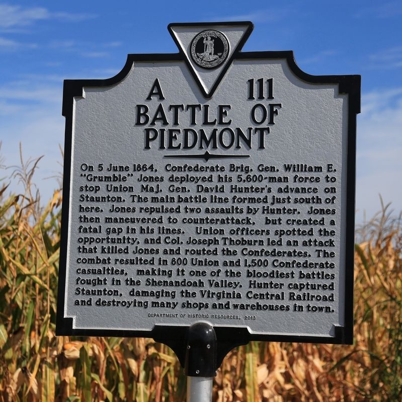
Photographed by J. J. Prats, October 6, 2017
1. Battle of Piedmont Marker
Erected 2013 by Department of Historic Resources. (Marker Number A-111.)
Topics and series. This historical marker is listed in this topic list: War, US Civil. In addition, it is included in the Virginia Department of Historic Resources (DHR) series list. A significant historical date for this entry is June 5, 1864.
Location. 38° 13.301′ N, 78° 53.711′ W. Marker is near New Hope, Virginia, in Augusta County. It is on Battlefield
this page online

Regionally, this marker is in the Shenandoah Valley. It is also in the American South and specifically in the Upper South. Globally, it is in North America, the Western Hemisphere, the Western World, and the Anglosphere. Historically, it finds itself in what was once the territory of the Mississippian Culture, one of the original Thirteen Colonies, one of the Confederate States of America, and the Antebellum South.
Other nearby markers. At least 8 other markers are within walking distance of this marker: Hunter's Second Attack (here, next to this marker); Hunter's First Attack (here, next to this marker); The Confederate Defenses (here, next to this marker); Piedmont Battlefield (approx. ¼ mile away); "Grumble" Jones Memorial (approx. 0.3 miles away); a different marker also named
Photographed by J. J. Prats, October 6, 2017
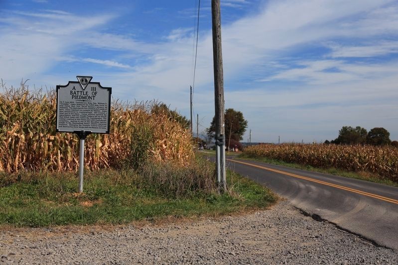
2. Battle of Piedmont Marker
This view is to the north, towards Mount Meridian.
More about this marker. Marker has been placed close to the location of the former town of Piedmont.
Regarding Battle of Piedmont. Mount Meridian is a little over 4 miles north of the marker on Battlefield Road.
Also see . . . Wikipedia Entry. “The Confederates then fell back slowly [from Mount Meridian] toward the village of Piedmont. Imboden expected to join forces with General Jones at Mowry’s Hill but was surprised to find him at Piedmont. The two commanders debated the situation, and then Jones (who out-ranked Imboden) decided to stand and fight.” (Submitted on October 7, 2017.)
Photographed by J. J. Prats, October 6, 2017
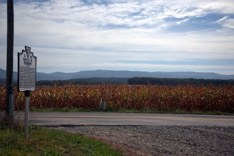
3. Battle of Piedmont Marker
This view is to the east.

Photographed by Bradley Owen, July 21, 2025
4. Battle of Piedmont Marker
Additional markers and a parking area have been added at this location.
Credits. This page was last revised on December 19, 2025. It was originally submitted on October 7, 2017. This page has been viewed 1,963 times since then and 123 times this year. Last updated on August 30, 2020, by Bradley Owen of Morgantown, West Virginia. Photos: 1, 2. submitted on October 7, 2017, by J. J. Prats of Powell, Ohio. 3. submitted on October 8, 2017, by J. J. Prats of Powell, Ohio. 4. submitted on July 27, 2025, by Bradley Owen of Morgantown, West Virginia. • J. Makali Bruton was the editor who published this page.
