Brunswick in Glynn County, Georgia — The American South (South Atlantic)
Queen Square
Southwest Quadrant
— City of Brunswick —
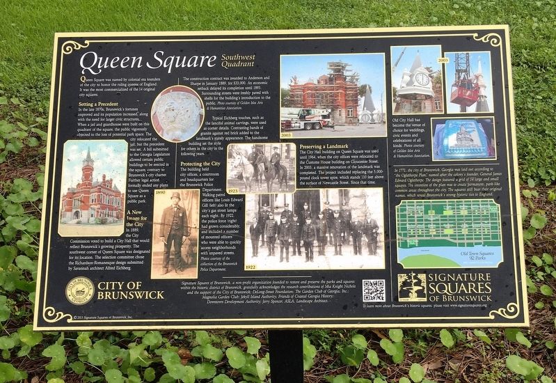
Queen Square was named by colonial era founders of the city to honor the ruling queens of England. It was the most commercialized of the 14 original city squares.
Setting a Precedent
In the late 1870s, Brunswick’s fortunes improved and its population increased, along with the need for larger civic structures. When a jail and guardhouse were built on this quadrant of the square, the public vigorously objected to the loss of potential park space. The city relocated the jail, but the precedent was set. A bill submitted to the Georgia Legislature allowed certain public buildings be erected in the square, contrary to Brunswick’s city charter. Further legal action formally ended any plans to use Queen Square as a public park.
A New Image for the City
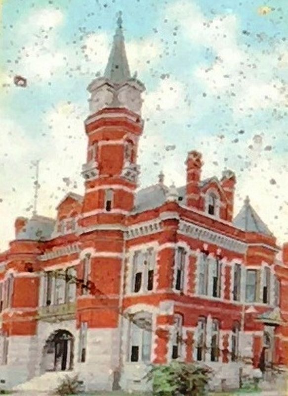
In 1889, the City Commission voted to build a City Hall that would reflect Brunswick’s growing prosperity. The southwest corner of Queen Square was designated for its location. The selection committee chose the Richardson-Romanesque design submitted by Savannah architect Alfred Eichberg.
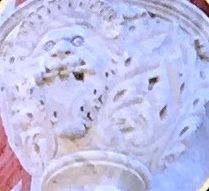
The construction contract was awarded to Anderson and Sharpe in January 1889, for $33,000. An economic setback delayed its completion until 1893. Surrounding streets were freshly paved with shells for the building’s introduction to the public. Photo courtesy of Golden Isles Arts & Humanities Association.
Protecting the City
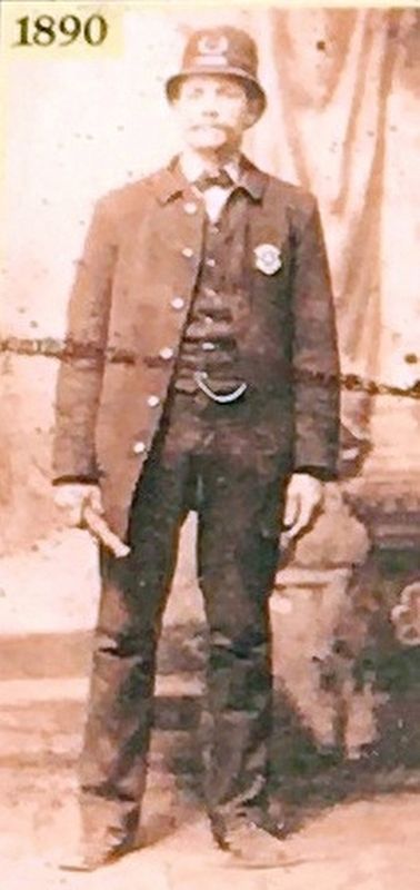
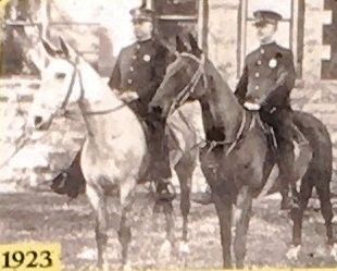
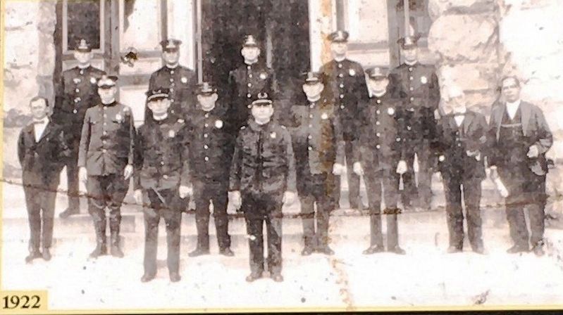
The building held city offices, a courtroom and headquarters for the Brunswick Police department. Walking patrol officers like Louis Edward Gill (left) also lit the city’s gas street lamps each night. By 1922, the police force (right) had grown considerably, and included a number of mounted officers who were able to quickly access neighborhoods with paved streets. Photos courtesy of the collection of the Brunswick Police Department.
Preserving a Landmark
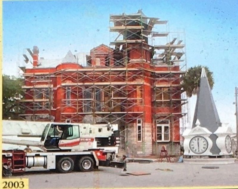
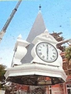
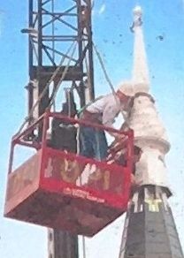
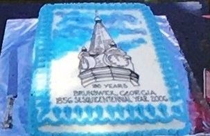
The City Hall building on Queen Square was used until 1964, when the city offices were relocated to the Customs House building on Gloucester Street. In 2003, a massive renovation of the landmark was completed. The project included replacing the 5,000-pound clock tower spire, which stands 110 feet above the surface of Newcastle Street. Since that time , Old City Hall has become the venue of choice for weddings, civic events and celebrations of all kinds. Photos courtesy of Golden Isles Arts & Humanities Association.
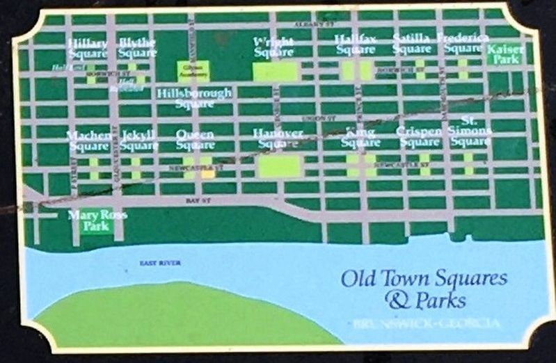
In 1771, the city of Brunswick. Georgia was laid out according to "the Oglethorpe Plan," named after the colony's founder. General James Edward Oglethorpe. The design featured a grid of 14 large and small squares. The intention of the plan was to create permanent, park-like common areas throughout the city. The squares still bear their original names, which reveal Brunswick's strong historic ties to England.
Signature Squares of Brunswick, a non-profit organization founded to restore and preserve the parks and squares within the historic district of Brunswick, gratefully acknowledges the research contributions of Mia Knight Nichols and the support of the City of Brunswick: Delong-Sweet Foundation: The Garden Club of Georgia, Inc., Magnolia Garden Club; Jekyll Island Authority; Friends of Coastal Georgia History: Downtown Development Authority; Plum Creek Foundation; Jerry Spencer, ASLA, Landscape Architect.
Erected 2015 by Signature Squares of Brunswick.
Topics. This historical marker is listed in this topic list: Notable Buildings.
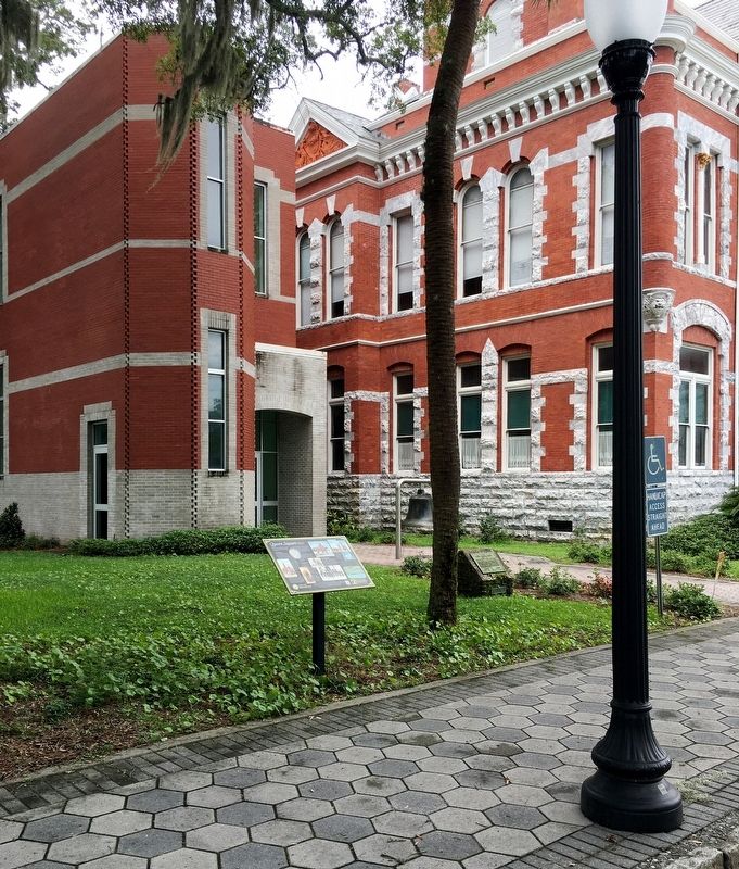
Location. 31° 8.754′ N, 81° 29.657′ W. Marker is in Brunswick, Georgia, in Glynn County. Marker is on Newcastle Street south of Mansfield Street, on the left when traveling north. Marker located near the Brunswick Old City Hall. Touch for map. Marker is at or near this postal address: 1229 Newcastle St, Brunswick GA 31520, United States of America. Touch for directions.
Other nearby markers. At least 8 other markers are within walking distance of this marker. Capt. Mark Carr (here, next to this marker); a different marker also named Queen Square (within shouting distance of this marker);
a different marker also named Queen Square (about 300 feet away, measured in a direct line); a different marker also named Queen Square (about 300 feet away); Liberty Tree (about 300 feet away); James Edward Oglethorpe (about 300 feet away); Hanover Square (about 600 feet away); a different marker also named Hanover Square (about 600 feet away). Touch for a list and map of all markers in Brunswick.
Also see . . . Signature Squares of Brunswick. (Submitted on August 31, 2020, by Brandon D Cross of Flagler Beach, Florida.)
Photographed By Brandon D Cross, August 23, 2020
12. Photo Insert (Bottom Right): 1771 Town Plat “the Oglethorpe Plan”
In 1771, the city of Brunswick, Georgia was laid out according to “the Oglethorpe plan,” named after the colony’s founder, General James Edward Oglethorpe . The design featured a grid of 14 large and 14 small squares. The intention of the plan was to create permanent, park-like common areas throughout the city. The squares still bear their original names, which reveal Brunswick’s strong historic ties to England.
Credits. This page was last revised on December 26, 2022. It was originally submitted on August 31, 2020, by Brandon D Cross of Flagler Beach, Florida. This page has been viewed 363 times since then and 50 times this year. Last updated on December 20, 2022, by Carl Gordon Moore Jr. of North East, Maryland. Photos: 1, 2, 3, 4, 5, 6. submitted on August 31, 2020, by Brandon D Cross of Flagler Beach, Florida. 7, 8, 9. submitted on September 1, 2020, by Brandon D Cross of Flagler Beach, Florida. 10, 11, 12. submitted on September 2, 2020, by Brandon D Cross of Flagler Beach, Florida. • Bernard Fisher was the editor who published this page.
