Gonzales in Gonzales County, Texas — The American South (West South Central)
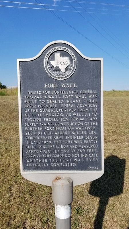
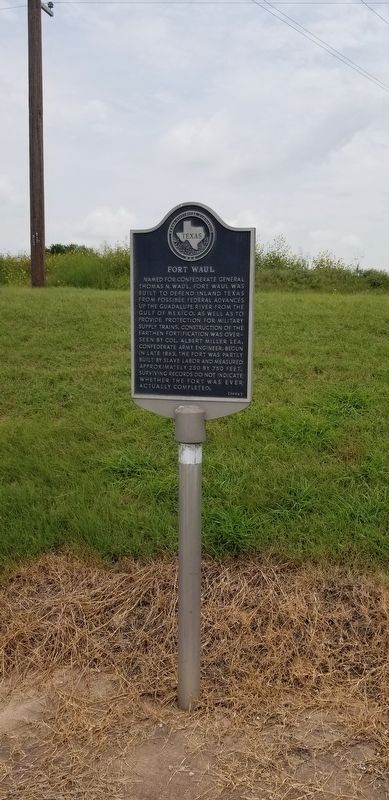
Fort Waul
Erected 1988 by Texas Historical Commission. (Marker Number 2025.)
Topics. This historical marker is listed in these topic lists: Forts and Castles • War, US Civil. A significant historical year for this entry is 1863.
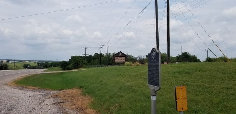
Location. 29° 31.154′ N, 97° 27.625′ W. Marker is in Gonzales, Texas, in Gonzales County. Marker is at the intersection of North St Joseph Street (Business State Highway 183) and Middle Buster Road (County Highway 510), on the right when traveling north on North St Joseph Street. Touch for map. Marker is in this post office area: Gonzales TX 78629, United States of America. Touch for directions.
Other nearby markers. At least 8 other markers are within walking distance of this marker. Jewish Cemetery (approx. 0.6 miles away); Jesse Kencheloe Davis (approx. 0.7 miles away); Gonzales Masonic Cemetery Veterans Memorial (approx. 0.7 miles away); Dr. John Turner Tinsley (approx. 0.7 miles away); Masonic Cemetery (approx. 0.7 miles away); In Honor of the Men of Gonzales High School (approx. 0.7 miles away); Dr. Thomas Polk (approx. ¾ mile away); Charles Mason (approx. ¾ mile away). Touch for a list and map of all markers in Gonzales.
Also see . . . History of Fort Waul. Texas State Historical Association (Submitted on September 1, 2020, by James Hulse of Medina, Texas.)
Credits. This page was last revised on August 4, 2021. It was originally submitted on September 1, 2020, by James Hulse of Medina, Texas. This page has been viewed 493 times since then and 70 times this year. Photos: 1. submitted on September 1, 2020, by James Hulse of Medina, Texas. 2, 3. submitted on August 4, 2021, by James Hulse of Medina, Texas. • Bernard Fisher was the editor who published this page.


