Near Prairie View in Waller County, Texas — The American South (West South Central)
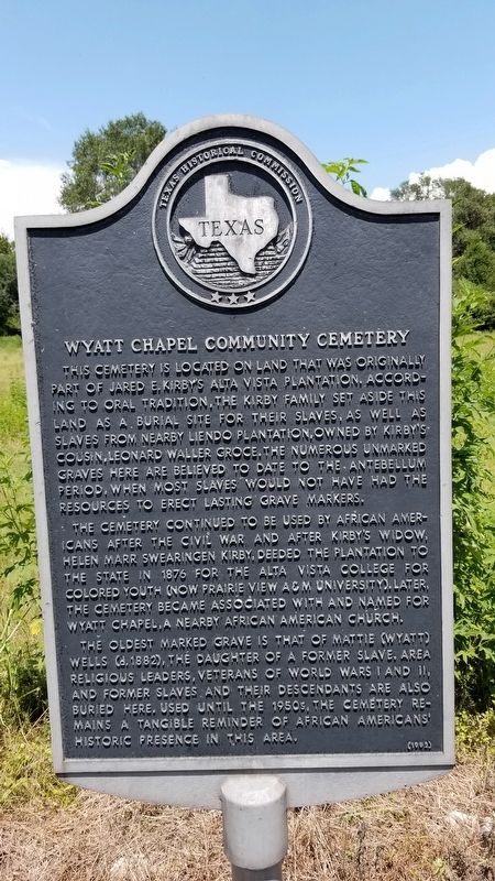
Wyatt Chapel Community Cemetery
This cemetery is located on land that was originally part of Jared E. Kirby's Alta Vista Plantation. According to oral tradition, the Kirby family set aside this land as a burial site for their slaves, as well as slaves from nearby Liendo Plantation, owned by Kirby's cousin, Leonard Waller Croce. The numerous unmarked graves here are believed to date to the Antebellum period, when most slaves would not have had the resources to erect lasting grave markers.
The cemetery continued to be used by African Americans after the Civil War and after Kirby's widow, Helen Marr Swearingen Kirby, deeded the plantation to the state in 1876 for the Alta Vista College for Colored Youth (now Prairie View A&M University). Later, the cemetery became associated with and named for Wyatt Chapel, a nearby African American church.
The oldest marked grave is that of Mattie (Wyatt) Wells (d. 1882), the daughter of a former slave. Area religious leaders, veterans of World Wars I and II, and former slaves and their descendants are also buried here. Used until the 1950s, the cemetery remains a tangible reminder of African Americans' historic presence in this area.
Erected 1992 by Texas Historical Commission. (Marker Number 8115.)
Topics. This historical marker is listed in these topic lists: African Americans • Cemeteries & Burial Sites. A significant historical year for this entry is 1876.
Location. 30° 6.174′ N, 95° 59.224′ W. Marker is near Prairie View, Texas, in Waller County. Marker is on William Street, half a mile south of Wyatt Chapel Road, on the left when traveling south. Touch for map. Marker is in this post office area: Hempstead TX 77445, United States of America. Touch for directions.
Other nearby markers. At least 8 other markers are within 3 miles of this marker, measured as the crow flies. Shiloh Baptist Church (approx. 0.9 miles away); Shiloh Cemetery (approx. 0.9 miles away); Jacob E. Freeman (approx. 1˝ miles away); Gen. George and Libbie Custer Campsite (approx. 2˝ miles away); Liendo (approx. 2.6 miles away); Liendo Plantation (approx. 2.6 miles away); Groce Family Plantations (approx. 2.8 miles away); Clear Creek Confederate War Camps (approx. 2.8 miles away). Touch for a list and map of all markers in Prairie View.
Credits. This page was last revised on September 2, 2020. It was originally submitted on September 1, 2020, by James Hulse of Medina, Texas. This page has been viewed 524 times since then and 113 times this year. Photos: 1, 2. submitted on September 1, 2020, by James Hulse of Medina, Texas. • J. Makali Bruton was the editor who published this page.

