Fire Truck Park
Celebrate San Ramon
History of the San Ramon Valley Fire Protection District
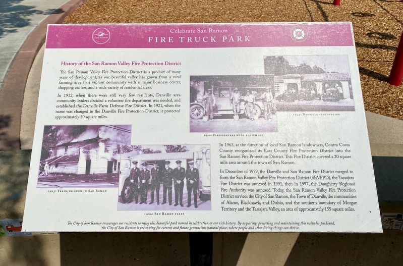
The San Ramon Valley Fire Protection District is a product of many years of development, as our beautiful valley has grown from a rural farming area to a vibrant community with a major business center, shopping centers, and a wide variety of residential areas.
In 1912, when there were still very few residents, Danville area community leaders decided a volunteer fire department was needed, and established the Danville Farm Defense Fire District. In 1921, when the name was changed to the Danville Fire Protection District, it protected approximately 50 square miles.
In 1963, at the direction of local San Ramon landowners, Contra Costa County reorganized its East County Fire Protection District into the San Ramon Fire Protection District. This Fire District covered a 20 square mile area around the town of San Ramon.
In December of 1979, the Danville and San Ramon Fire District merged to form the San Ramon Valley Fire Protection District (SRVFPD), the Tassajara Fire District was annexed in 1991, then in 1997, the Dougherty Regional Fire Authority was annexed. Today, the San Ramon Valley Fire Protection District services the City of San Ramon, the Town of Danville, the communities of Alamo, Blackhawk, and Diablo, and the southern boundary
of Morgan Territory and the Tassajara Valley, an area of approximately 155 square miles.
The City of San Ramon encourages our residents to enjoy this beautiful park named in celebration or our rich history. By acquiring, protecting and maintaining this valuable parkland,
the City of San Ramon is preserving for current and future generations natural places where people and other living things can thrive.
Erected by City of San Ramon.
Topics. This historical marker is listed in these topic lists: Government & Politics • Parks & Recreational Areas. A significant historical month for this entry is December 1979.
Location. 37° 45.064′ N, 121° 53.524′ W. Marker is in San Ramon, California, in Contra Costa County. Marker is on Arlington Way, on the left when traveling north. Touch for map. Marker is in this post office area: San Ramon CA 94582, United States of America. Touch for directions.
Other nearby markers. At least 8 other markers are within 4 miles of this marker, measured as the crow flies. History of Ramona Park (approx. 0.3 miles away); San Ramon's Pioneers (approx. 0.3 miles away); Antone School (approx. 1.6 miles away); Iron Horse Regional Trail (approx. 2.2 miles away); The Glass House 1932 - 1998 (approx. 3.4 miles away); The Glass House (approx. 3.4 miles away); Harnessing the Wind (approx. 3.4 miles away); Clement Pierre Elissondo (approx. 3.4 miles away). Touch for a list and map of all markers in San Ramon.
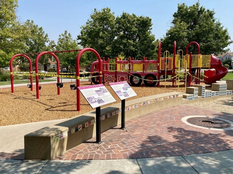
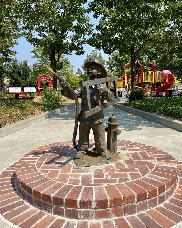
More about this marker. The marker is located within Fire Truck Park.
Credits. This page was last revised on September 3, 2020. It was originally submitted on September 2, 2020, by Andrew Ruppenstein of Lamorinda, California. This page has been viewed 153 times since then and 13 times this year. Photos: 1. submitted on September 2, 2020, by Andrew Ruppenstein of Lamorinda, California. 2, 3. submitted on September 3, 2020, by Andrew Ruppenstein of Lamorinda, California.


