Near Custer in Custer County, South Dakota — The American Midwest (Upper Plains)
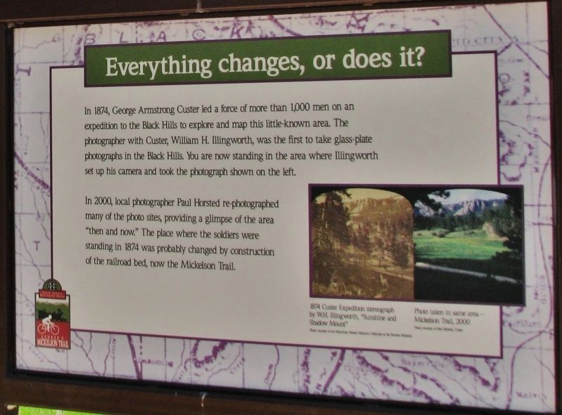
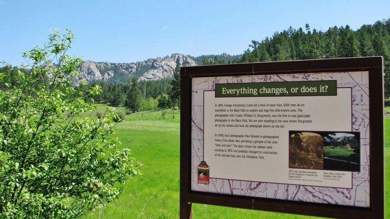
Everything changes, or does it?
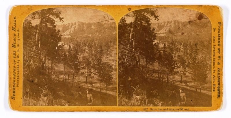
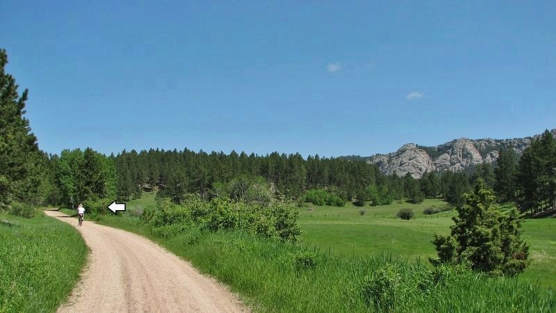
In 2000, local photographer Paul Horsted re-photographed many of the photo sites, providing a glimpse of the area "then and now." The place where the soldiers were standing in 1874 was probably changed by construction of the railroad bed, now the Mickelson Trail.
(photo captions)
• 1874 Custer Expedition stereograph by W.H. Illingworth, “Sunshine and Shadow Mount.”
• Photo taken in same area — Mickelson Trail, 2000.
Topics. This historical marker is listed in these topic lists: Exploration • Parks & Recreational Areas • Railroads & Streetcars. A significant historical year for this entry is 1874.
Location. 43° 47.719′ N, 103° 37.317′ W. Marker is near Custer, South Dakota, in Custer County. Marker can be reached from the intersection of Montgomery Street and North 10th Street. Marker is located on the Mickelson Rail Trail, 2.3 miles north of Montgomery Street. Touch for map. Marker is in this post office area: Custer SD 57730, United States of America. Touch for directions.
Other nearby markers. At least 8 other markers are within 3 miles of this marker, measured as the crow flies. Landscapes & Logging (approx. 0.4 miles away); Crazy Horse Memorial (approx. 1.8 miles away); The Hearst Highway (approx. 1.9 miles away); Custer County Courthouse (approx. 2.3 miles away); Frontier Protection (approx. 2.3 miles away); Horace N. Ross (approx. 2.3 miles away); First National Bank of Dakota Territory (approx. 2.3 miles away); Miners Meet 1875 (approx. 2.4 miles away). Touch for a list and map of all markers in Custer.
Also see . . .
1. Black Hills Expedition (Wikipedia). The Black Hills Expedition was a United States Army expedition in 1874 led by Lieutenant Colonel George Armstrong Custer that set out on July 2, 1874 from modern day Bismarck, North Dakota, which was then Fort Abraham Lincoln in the Dakota Territory, with orders to travel to the previously uncharted Black Hills of South Dakota. Its mission was to look for suitable locations for a fort, find a route to the southwest, and to investigate the possibility of gold mining. (Submitted on September 4, 2020, by Cosmos Mariner of Cape Canaveral, Florida.)
2. William H. Illingworth (Wikipedia). Illingworth was selected as photographer to Custer's 1874 military expedition by then-Captain William Ludlow. He provided Illingworth necessary equipment, rations
and supplies, and added Illingworth to the civilian payroll as a "teamster", with a salary of $30 per month. While on the expedition, Illingworth produced about 70 glass plates – 60 of them were landscapes of the Black Hills and portraits of members of the 7th Cavalry. (Submitted on September 4, 2020, by Cosmos Mariner of Cape Canaveral, Florida.)
Credits. This page was last revised on September 4, 2020. It was originally submitted on September 4, 2020, by Cosmos Mariner of Cape Canaveral, Florida. This page has been viewed 213 times since then and 19 times this year. Photos: 1, 2, 3, 4. submitted on September 4, 2020, by Cosmos Mariner of Cape Canaveral, Florida.


