Brainerd in Crow Wing County, Minnesota — The American Midwest (Upper Plains)
Geology of Minnesota
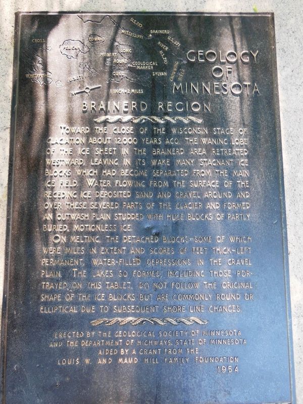
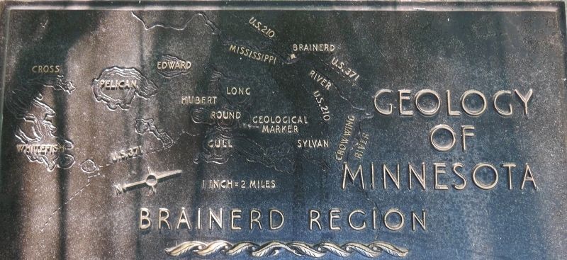
Brainerd Region
On melting, the detached blocks — some of which were miles in extent and scores of feet thick — left permanent, water-filled depressions in the gravel plain. The lakes so formed, including those portrayed on this tablet, do not follow the original shape of the ice blocks but are commonly round or elliptical due to subsequent shore line changes.
and the Department of Highways, State of Minnesota
aided by a grant from the
Louis W. and Maud Hill Family Foundation
1954
Erected 1954 by Geological Society of Minnesota and Department of Highways, State of Minnesota.
Topics and series. This historical marker is listed in this topic list: Natural Features. In addition, it is included in the Minnesota: Geological Society of Minnesota series list.
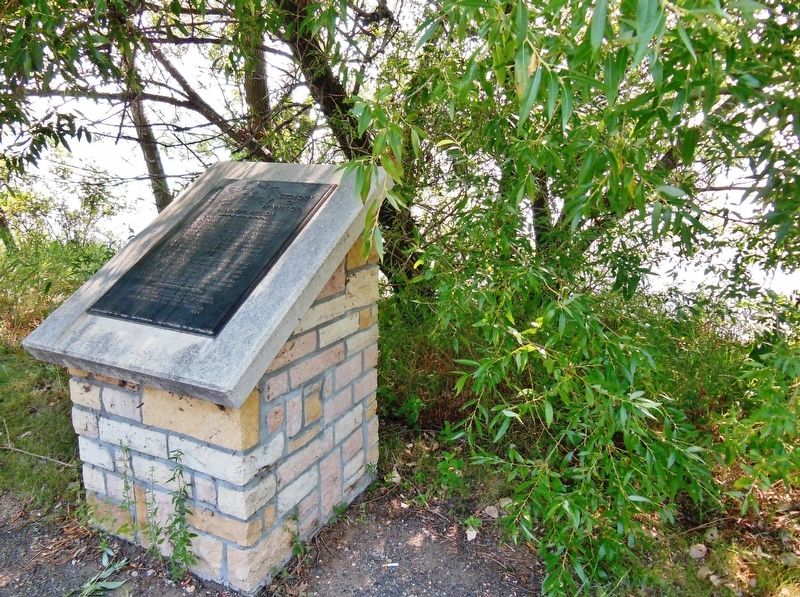
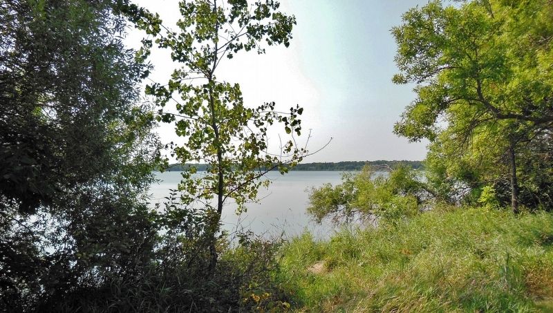
Location. 46° 26.336′ N, 94° 18.264′ W. Marker is in Brainerd, Minnesota, in Crow Wing County. Marker is on State Highway 371, 0.1 miles north of Seagull Road Northwest, on the right when traveling north. Marker is located in a pull-out and parking area on the east side of the highway, overlooking North Long Lake. Touch for map. Marker is in this post office area: Brainerd MN 56401, United States of America. Touch for directions.
Other nearby markers. At least 8 other markers are within 8 miles of this marker, measured as the crow flies. In Death, a Story of Life: The Gull Lake Burial Mounds (approx. 3 miles away); a different marker also named In Death, a Story of Life: The Gull Lake Burial Mounds (approx. 3 miles away); In Death, A Story of Life: The Gull Lake Burial Mounds (approx. 3 miles away); The Present Location of the Lake Hubert Depot (approx. 4.9 miles away); Lake Hubert Depot (approx. 4.9 miles away); Nisswa (approx. 5.8 miles away); Reconciliation (approx. 7.4 miles away); Former Northern Pacific Railway Water Tower (approx. 7˝ miles away). Touch for a list and map of all markers in Brainerd.
Also see . . . Geology of Minnesota (Wikipedia). Glacial deposits are mined for aggregates, glacial till and lacustrine deposits formed the parent soil for the state's farmlands, and glacial lakes are the backbone of Minnesota's tourist industry. These economic assets have in turn dictated the state's history and settlement patterns. (Submitted on September 5, 2020, by Cosmos Mariner of Cape Canaveral, Florida.)
Credits. This page was last revised on September 5, 2020. It was originally submitted on September 5, 2020, by Cosmos Mariner of Cape Canaveral, Florida. This page has been viewed 489 times since then and 25 times this year. Photos: 1, 2, 3, 4. submitted on September 5, 2020, by Cosmos Mariner of Cape Canaveral, Florida.


