Near Austinville in Wythe County, Virginia — The American South (Mid-Atlantic)
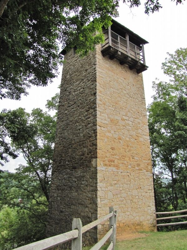
Shot Tower at Jackson's Ferry
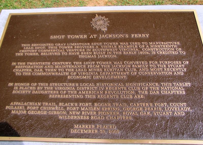
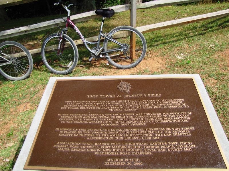
In the twentieth century, the shot tower was conveyed for purposes of restoration and maintenance from the Jackson family to the Stuart Chapter, DAR, then to the Lead Mines Ruritan Club, and most recently to the Commonwealth of Virginia Department of Conservation and Economic Development.
In honor of this structure’s local historical significance, this tablet is placed by the Virginia District IV Regents Club of the National Society Daughters of the American Revolution. The DAR chapters representing this Regents Club are:
Appalachian Trail, Black’s Fort, Boone Trail, Carter’s Fort, Count Pulaski, Fort Chiswell, Fort Maiden Spring, George Pearis, Lovelady, Major George Gibson, New River Pioneer, Royal Oak, Stuart and Wilderness Road Chapters.
December 30, 2000
Erected 2000 by Virginia District IV Regents Club, National Society Daughters of the American Revolution.
Topics and series. This historical marker is listed in these topic lists: Architecture • Industry & Commerce. In addition, it is included in the Daughters of the American Revolution series list. A significant historical year for this entry is 1807.
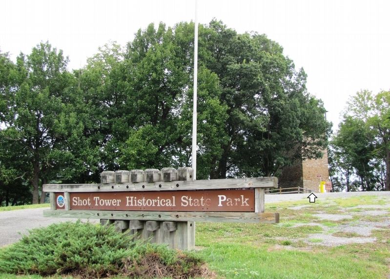
Location. 36° 52.204′ N, 80° 52.225′ W. Marker is near Austinville, Virginia, in Wythe County. Marker can be reached from the intersection of Shottower Road (County Road 624) and Pauley Flatwoods (County Road 608). Marker is located near the tower in Shot Tower Historical State Park. Touch for map. Marker is in this post office area: Austinville VA 24312, United States of America. Touch for directions.
Other nearby markers. At least 8 other markers are within 2 miles of this marker, measured as the crow flies. History of the Shot Tower (here, next to this marker); Shot Tower Historical State Park (within shouting distance of this marker); Jackson's Ferry (about 400 feet away, measured in a direct line); River Crossing Old & New (about 500 feet away); Jackson’s Ferry and Shot Tower (approx. 0.2 miles away); The New River (approx. 0.4 miles away); a different marker also named New River (approx. 0.6 miles away); Railroad Depot (approx. 1.3 miles away). Touch for a list and map of all markers in Austinville.
Regarding Shot Tower at Jackson's Ferry. National Register of Historic Places #69000286,
National Historic Mechanical Engineering Landmark, Virginia Historic Landmark.
Related markers. Click here for a list of markers that are related to this marker. Jackson's Ferry Shot Tower
Also see . . .
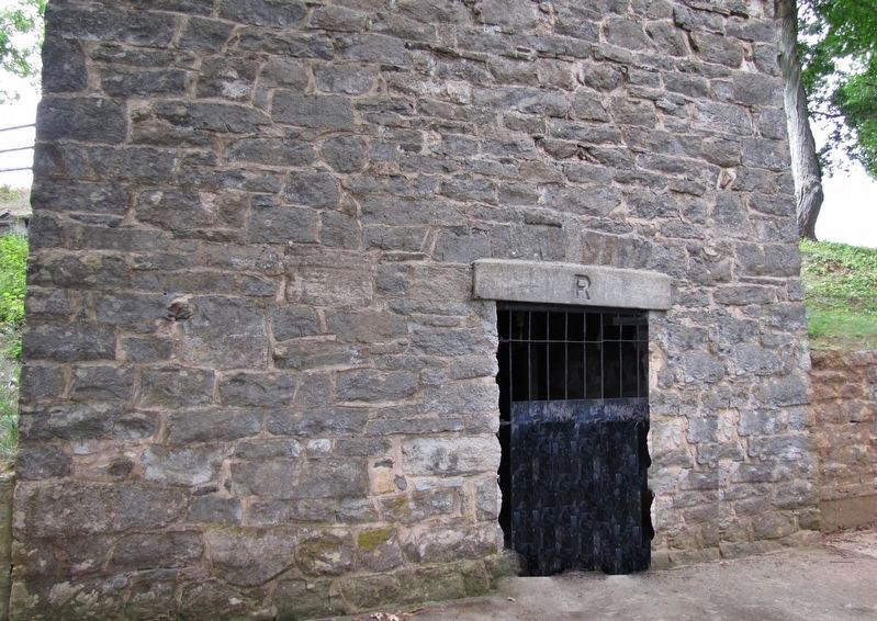
1. Jackson's Ferry Shot Tower (Virginia DHR). Thomas Jackson erected this imposing tower on a bluff of the New River ca. 1807 to manufacture shot for the firearms of the frontier settlers. The enterprise was supplied with lead from the Austinville mines several miles away. The shaft was connected to the riverbank by a tunnel through which the shot was carried and loaded on boats. (Submitted on September 7, 2020, by Cosmos Mariner of Cape Canaveral, Florida.)
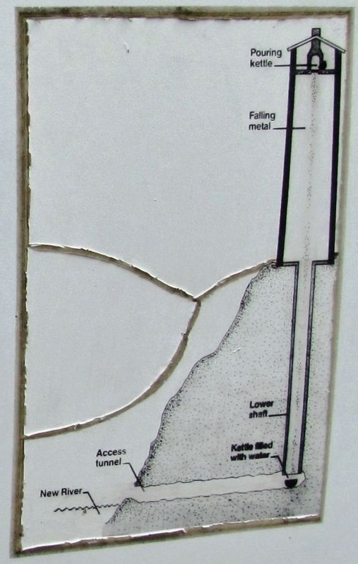
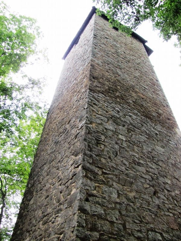
2. Jackson's Ferry Shot Tower (Wikipedia). The 2.5-foot-thick solid stone walls not only made the Shot Tower an extremely strong structure, but kept its interior temperature cool and consistent, improving the quality of the shot it produced. The designers used the natural terrain to reduce the height of the tower they had to construct. They built the tower on the edge of a cliff, and dug a vertical shaft 75 feet deep, which reduced the height required of the actual tower to 75 feet. (Submitted on September 7, 2020, by Cosmos Mariner of Cape Canaveral, Florida.)
3. Jackson's Ferry Shot Tower (American Society of Mechanical Engineers). Smelted lead from the
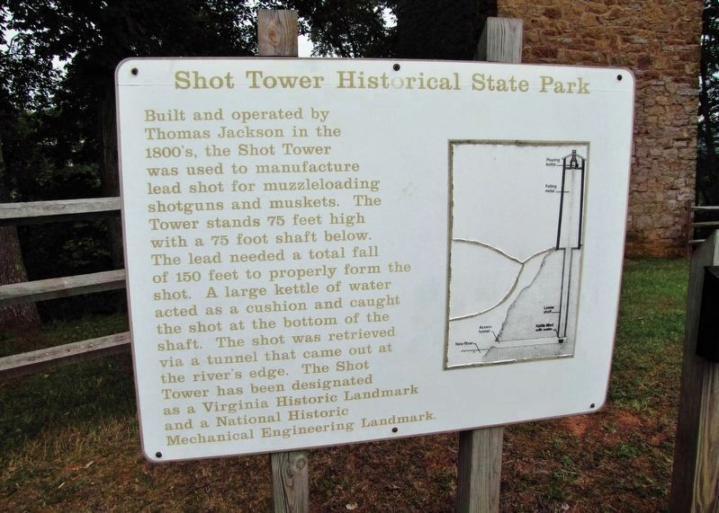
Photographed By Cosmos Mariner, July 27, 2010
3. Shot Tower Historical State Park Interpretive Panel
Credits. This page was last revised on September 7, 2020. It was originally submitted on September 5, 2020, by Cosmos Mariner of Cape Canaveral, Florida. This page has been viewed 349 times since then and 45 times this year. Photos: 1, 2, 3, 4, 5, 6, 7, 8. submitted on September 7, 2020, by Cosmos Mariner of Cape Canaveral, Florida.
