Near Locust Grove in Orange County, Virginia — The American South (Mid-Atlantic)
Saunders Field
Battle of the Wilderness
— Fredericksburg and Spotsylvania National Military Park —
Morris Schaff, USA Staff
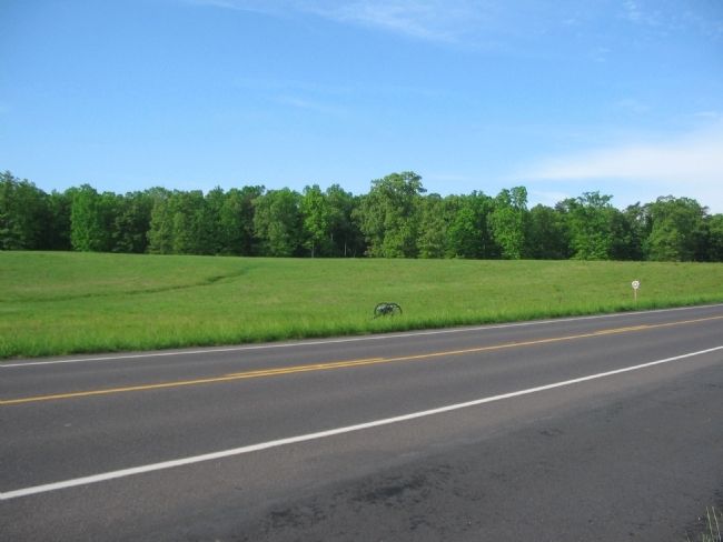
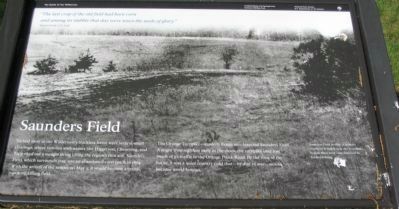
Tucked away in the Wilderness's trackless forest were several small clearings, where families with names like Higgerson, Chewning, and Tapp eked out a meager living tilling the region's thin soil. Saunders Field, which surrounds you, was an abandoned corn patch in 1864. With the arrival of the armies on May 5, it would become a brutal smoking killing field.
The Orange Turnpike - modern Route 20 - bisected Saunders Field. A major thoroughfare early in the 1800s, the turnpike later lost much of its traffic to the Orange Plank Road. By the time of the battle, it was a quiet country road that - by dint of war - would become world famous.
Erected by National Park Service, U.S. Department of the Interior.
Topics. This historical marker is listed in this topic list: War, US Civil. A significant historical month for this entry is May 1781.
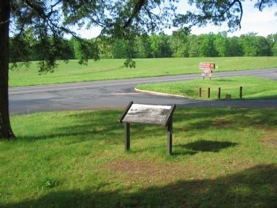
Location. 38° 19.045′ N, 77° 45.374′ W. Marker is near Locust Grove, Virginia, in Orange County. Marker is on Constitution Highway (State Highway 20), on the right when traveling west. Located at stop two of the driving tour of Wilderness Battlefield. Touch for map. Marker is in this post office area: Locust Grove VA 22508, United States of America. Touch for directions.
Other nearby markers. At least 8 other markers are within walking distance of this marker. The Capture of Winslow's Battery (here, next to this marker); The Fighting Ends in Stalemate (a few steps from this marker); Struggle on the Orange Plank Road (a few steps from this marker); Battle of the Wilderness (a few steps from this marker); Clash on the Orange Turnpike (a few steps from this marker); Collision of Giants (a few steps from this marker); The Wilderness (a few steps from this marker); a different marker also named The Battle of the Wilderness (within shouting distance of this marker). Touch for a list and map of all markers in Locust Grove.
More about this marker. The background of the marker is a photo of Saunders Field in 1866. A military cemetery is visible near the woodline; burials there were later removed to Fredericksburg.
Also see . . . Battle of the Wilderness. National Park Service site. (Submitted on May 16, 2009, by Craig Swain of Leesburg, Virginia.)

Photographed By Craig Swain, May 9, 2009
3. Saunders Field
Looking across the highway at the south half of Saunders Field. During the fighting on May 5, a Federal battery advanced into the field, but soon discovered their assigned position provided a very poor field of fire. Unable to withdraw before Confederate infantry counterattacked, the battery was lost. A single field piece, seen here, represents the battery at that position.
Credits. This page was last revised on September 12, 2020. It was originally submitted on May 16, 2009. This page has been viewed 2,244 times since then and 42 times this year. Last updated on September 5, 2020, by Bradley Owen of Morgantown, West Virginia. Photos: 1, 2, 3. submitted on May 16, 2009, by Craig Swain of Leesburg, Virginia. • J. Makali Bruton was the editor who published this page.

