Bolivar in Jefferson County, West Virginia — The American South (Appalachia)
Facing the Enemy
Harpers Ferry National Historical Park
— National Park Service, U.S. Department of the Interior —
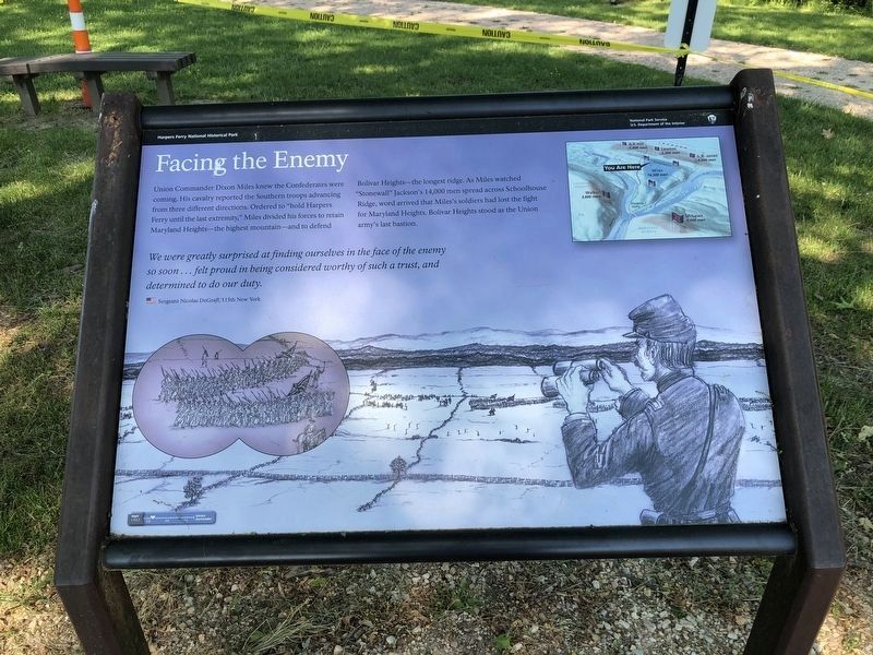
Union Commander Dixon Miles knew the Confederates were coming. His cavalry reported the Southern troops advancing from three different directions. Ordered to "hold Harpers Ferry until the last extremity," Miles divided his forces to retain Maryland Heights - the highest mountain - and to defend Bolivar Heights - the longest ridge. As Miles watched "Stonewall" Jackson's 14,000 men spread across Schoolhouse Ridge, word arrived that Miles's soldiers had lost the fight for Maryland Heights. Bolivar Heights stood as the Union army's last bastion.
We were greatly surprised at finding ourselves in the face of the enemy so soon … felt proud in being considered worthy of such a trust, and determined to do our duty.
Sergeant Nicolas DeGraff, 115th New York
Erected by National Park Service, U.S. Department of the Interior.
Topics. This historical marker is listed in this topic list: War, US Civil.
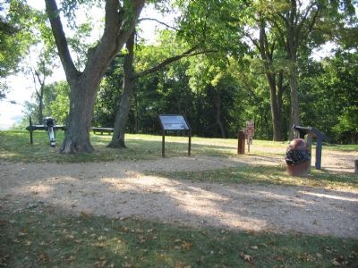
Location. 39° 19.416′ N, 77° 45.676′ W. Marker is in Bolivar, West Virginia, in Jefferson County. Marker is at the intersection of Whitman Avenue and Prospect Avenue (County Road 27/1), on the left when traveling north on Whitman Avenue. Located at the trail head for the Bolivar Heights walking trail. Touch for map. Marker is in this post office area: Harpers Ferry WV 25425, United States of America. Touch for directions.
Other nearby markers. At least 8 other markers are within walking distance of this marker. Historic Heights (a few steps from this marker); Bolivar Heights Trail (a few steps from this marker); Harpers Ferry (a few steps from this marker); Closing the Doors (a few steps from this marker); Battle of Harpers Ferry / Union Stronghold (within shouting distance of this marker); The First Year of War (within shouting distance of this marker); Rats in a Cage (within shouting distance of this marker); Casualties of War (about 300 feet away, measured in a direct line). Touch for a list and map of all markers in Bolivar.
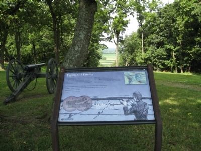
More about this marker. The background of the marker is a depiction of an observer on Bolivar Heights watching the Confederate advance. In the upper right is a relief map of the area surrounding Harpers Ferry, showing the relative positions of the Federal and Confederate forces in relation to the location of the marker.
Also see . . . 1862 Battle of Harpers Ferry. National Park Service summary of the battle. (Submitted on February 11, 2008, by Craig Swain of Leesburg, Virginia.)
Credits. This page was last revised on May 21, 2021. It was originally submitted on February 11, 2008, by Craig Swain of Leesburg, Virginia. This page has been viewed 1,375 times since then and 28 times this year. Last updated on September 5, 2020, by Bradley Owen of Morgantown, West Virginia. Photos: 1. submitted on May 21, 2021, by Devry Becker Jones of Washington, District of Columbia. 2. submitted on February 11, 2008, by Craig Swain of Leesburg, Virginia. 3. submitted on July 4, 2009, by Henry T. McLin of Hanover, Pennsylvania. 4. submitted on February 11, 2008, by Craig Swain of Leesburg, Virginia. • Devry Becker Jones was the editor who published this page.


