Quihi in Medina County, Texas — The American South (West South Central)
General Woll's Road
Photographed by James Hulse, June 14, 2020
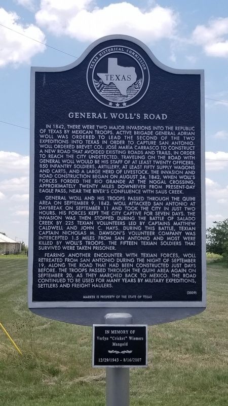
1. General Woll's Road Marker
In 1842, there were two major invasions of Texas by Mexican troops. Active Brigade General Adrian Woll was ordered to lead the second of the two expeditions into Texas in order to capture San Antonio. Woll ordered Brevet Col. Jose Maria Carrasco to construct a new road that avoided existing roads and trails in order to reach the city undetected. Traveling the road with General Woll would be his staff and of at least twenty officers, 850 infantry soldiers, artillery, at least fifty supply wagons and carts, and a large herd of livestock. The invasion and road construction began on August 24, 1842, when Woll's forces forded the the Rio Grande at Nogal Crossing, approximately twenty miles downriver from present-day Eagle Pass, near the river's confluence with Saus Creek.
General Woll and his troops passed through the area on September 9, 1842. Woll attacked San Antonio at daybreak on September 11 and took the city in two hours. His forces kept the city captive for seven days. The invasion was then stopped during the Battle of Salado Creek by 225 Texian volunteers led by Captains Matthew Caldwell and John C. Hays. During this battle, Texian Captain Nicholas M. Dawson's volunteer company was intercepted 1.5 miles from San Antonio and most were killed by Woll's troops. The fifteen Texian soldiers that survived were taken prisoner.
Fearing another encounter with Texian forces, Woll retreated from San Antonio during the night of September 15, along the road that had been constructed just days before. The troops passed through the Quihi area on September 20, as they marched back to Mexico. The road continued to be used for many years by military expeditions, settlers and freight haulers.
Marker is property of the State of Texas
Erected 2009 by Texas Historical Commission. (Marker Number 15694.)
Topics. This
this page online
Location. 29° 23.648′ N, 99° 1.661′ W. Marker is in Quihi, Texas, in Medina County. It is at the intersection of County Road 4519 (Farm to Market Road 2676) and County Highway 4519, on the right when traveling west on County Road 4519. Touch for map. Marker is at or near this postal address: 124 County Road 4519, Hondo TX 78861, United States of America. Touch for directions.

Regionally, this marker is in the Hill Country and in the San Antonio Metropolitan Area. Globally, it is in North America, a Gulf of Mexico state, the Western Hemisphere, the Western World, and the Anglosphere. Historically, it finds itself in what was once New Spain, the Republic of Texas, and one of the Confederate States of America.
Other nearby markers. At least 8 other markers are within 4 miles of this marker, measured as the crow flies: Bethlehem Lutheran Church (about 600 feet away, measured in a direct line); a different marker also named Bethlehem Lutheran Church (about 600 feet away); Quihi Bethlehem Lutheran Church Cemetery
Photographed by James Hulse, August 10, 2021
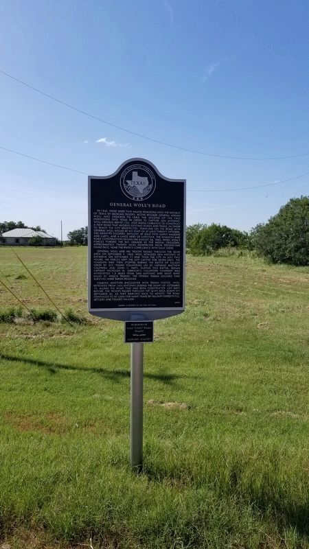
2. General Woll's Road Marker
Also see . . . Mexican invasions of 1842. (Submitted on September 5, 2020, by James Hulse of Medina, Texas.)
Photographed by James Hulse, August 10, 2021
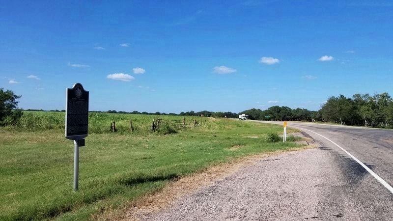
3. The view of the General Woll's Road Marker from the highway

Photographed by James Hulse, June 14, 2020
4. The Marker is 500 feet east from the Bethlehem Lutheran Church
Credits. This page was last revised on August 10, 2021. It was originally submitted on September 5, 2020, by James Hulse of Medina, Texas. This page has been viewed 1,212 times since then and 115 times this year. Photos: 1. submitted on September 5, 2020, by James Hulse of Medina, Texas. 2, 3. submitted on August 10, 2021, by James Hulse of Medina, Texas. 4. submitted on September 5, 2020, by James Hulse of Medina, Texas. • J. Makali Bruton was the editor who published this page.
