Max Meadows in Wythe County, Virginia — The American South (Mid-Atlantic)
Railroad Depot
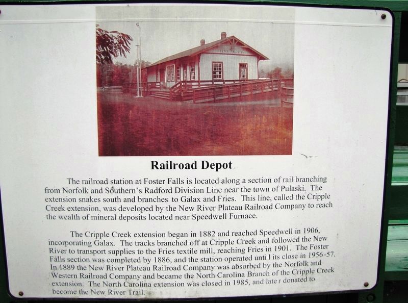
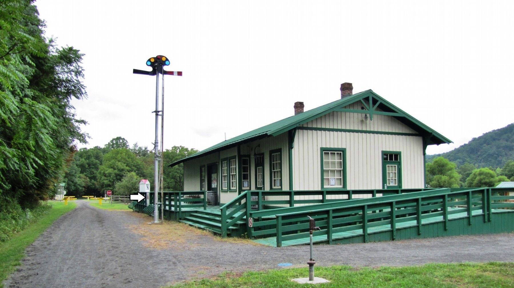
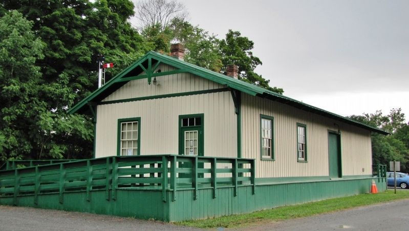
The railroad station at Foster Falls
The Cripple Creek extension began in 1882 and reached Speedwell in 1906, incorporating Galax. The tracks branched off at Cripple Creek and followed the New River to transport supplies to the Fries textile mill, reaching Fries in 1901. The Foster Falls section was completed by 1886, and the station operated until its close in 1956-57. In 1889 the New River Plateau Railroad Company was absorbed by the Norfolk and Western Railroad Company and became the North Carolina Branch of the Cripple Creek extension. The North Carolina extension was closed in 1985, and later donated to become the New River Trail.
Topics. This historical marker is listed in these topic lists: Industry & Commerce • Parks & Recreational Areas • Railroads & Streetcars. A significant historical year for this entry is 1882.
Location. 36° 53.063′ N, 80° 51.363′ W. Marker is in Max Meadows, Virginia, in Wythe County. Marker can be reached from County Road 623, 0.2 miles west of Foster Falls Road (County Road 608), on the right when traveling west. Marker is mounted on the east platform railing of the subject building. The former railroad depot is near milepost 24 on the New River State Trail rail trail. Touch for map. Marker is in this post office area: Max Meadows VA 24360, United States of America. Touch for directions.
Other nearby markers. At least 8 other markers are within 2 miles of this marker, measured as the crow flies. Foster Falls Hotel (a few steps from this marker); Foster Falls Furnace (about 300 feet away, measured in a direct line); Jackson’s Ferry and Shot Tower (approx. 1.1 miles away); River Crossing Old & New (approx. 1.2 miles away); Jackson's Ferry (approx. 1.2 miles away); Shot Tower Historical State Park (approx. 1.3 miles away); History of the Shot Tower (approx. 1.3 miles away); Shot Tower at Jackson's Ferry (approx. 1.3 miles away). Touch for a list and map of all markers in Max Meadows.
Also see . . .
1. New River Plateau Railroad ("Cripple Creek Extension"). Construction started at Martin's Tank, a small stop on the Norfolk and Western Railroad, and headed upstream along the New River. The track reached the charcoal-fueled iron furnace at Foster Falls in 1886. Freight traffic increased even more after the railroad got to the lead/zinc mines at Austinville and the iron furnace at Ivanhoe, with a branch up Cripple Creek to the Raven
Cliff and Speedwell furnaces. (Submitted on September 7, 2020, by Cosmos Mariner of Cape Canaveral, Florida.)
2. The Cripple Creek Extension. The line was abandoned under N&W ownership in 1985. Today, the right-of-way serves as the New River rail-trail. (Submitted on September 7, 2020, by Cosmos Mariner of Cape Canaveral, Florida.)
Credits. This page was last revised on September 7, 2020. It was originally submitted on September 5, 2020, by Cosmos Mariner of Cape Canaveral, Florida. This page has been viewed 373 times since then and 58 times this year. Photos: 1, 2, 3, 4. submitted on September 7, 2020, by Cosmos Mariner of Cape Canaveral, Florida.


