City Ranch near Palmdale in Los Angeles County, California — The American West (Pacific Coastal)
Lazy T
Ranch History
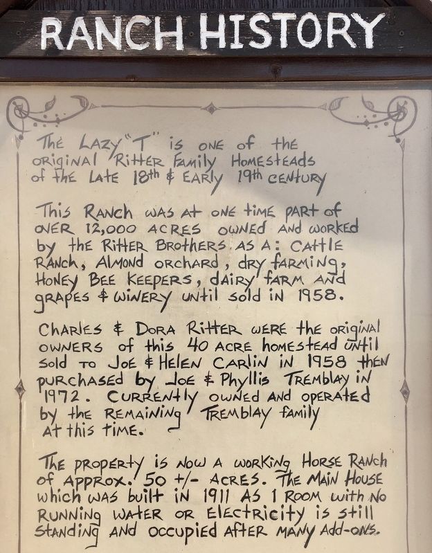
The Lazy T is one of the original Ritter family homesteads of the late 18th & early 19th century.
This ranch was at one time part of over 12,000 acres owned and worked by the Ritter brothers as a: Cattle ranch, almond orchard, dry farming, honey bee keepers, dairy farm and grapes & winery until sold in 1958.
Charles & Dora Ritter were the original owners of this 40 acre homestead until sold to Joe & Helen Carlin in 1958, then purchased by Joe & Phyllis Tremblay in 1972. Currently owned and operated by the remaining Tremblay family at this time.
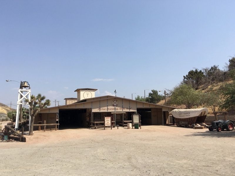
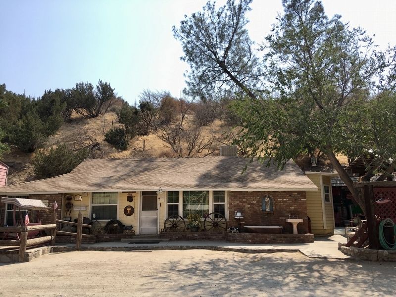
The property is now a working horse ranch of approximately 50 +/- acres. The main house which was built in 1911 as 1 room with no running water or electricity is still standing and occupied after many add-ons.
Topics. This historical marker is listed in these topic lists: Agriculture • Settlements & Settlers. A significant historical year for this entry is 1958.
Location. 34° 35.384′ N, 118° 12.302′ W. Marker is near Palmdale, California, in Los Angeles County. It is in City Ranch. Marker can be reached from Elizabeth Lake Road, 0.1 miles west of Ranch Center Drive, on the left when traveling west. Touch for map. Marker is at or near this postal address: 4218 Elizabeth Lake Rd, Palmdale CA 93551, United States of America. Touch for directions.
Other nearby markers. At least 8 other markers are within 7 miles of this marker, measured as the crow flies. F-104 (approx. 5.2 miles away); F-16A (approx. 5.2 miles away); Creosote (approx. 5.6 miles away); Lamont Odett Vista Point (approx. 5.7 miles away); The San Andreas Fault (approx. 5.7 miles away); The Aerospace Valley (approx. 5.8 miles away); D-558 Skyrocket (approx. 6.2 miles away); Palmdale Cemetery (approx. 6.7 miles away). Touch for a list and map of all markers in Palmdale.
Regarding Lazy T. “Lazy T” is a livestock branding symbol that looks like the letter T turned on its side.
Credits. This page was last revised on January 30, 2023. It was originally submitted on September 6, 2020, by Craig Baker of Sylmar, California. This page has been viewed 497 times since then and 86 times this year. Photos: 1, 2, 3, 4. submitted on September 6, 2020, by Craig Baker of Sylmar, California. • J. Makali Bruton was the editor who published this page.


