Leonidas in New Orleans in Orleans Parish, Louisiana — The American South (West South Central)
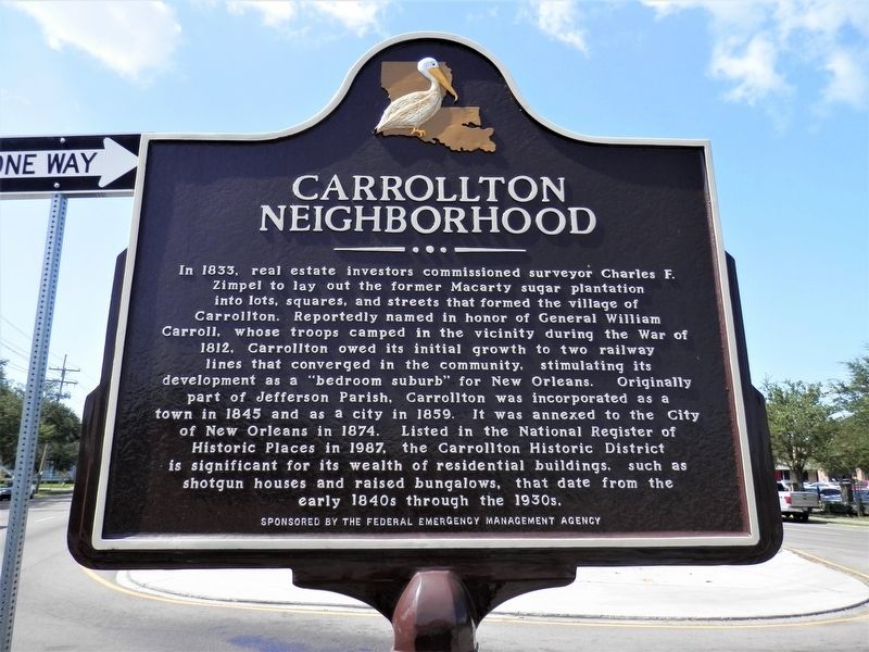
Carrollton Neighborhood
In 1833, real estate investors commissioned surveyor Charles F. Zimpel to lay out the former Macarty sugar plantation into lots, squares, and streets that formed the village of Carrollton. Reportedly named in honor of General William Carroll, whose troops camped in the vicinity during the War of 1812, Carrollton owed its initial growth to two railway lines that converged in the community, stimulating its development as a "bedroom suburb” for New Orleans. Originally part of Jefferson Parish, Carrollton was incorporated as a town in 1845 and as a city in 1859. It was annexed to the City of New Orleans in 1874. Listed in the National Register of Historic Places in 1987, the Carrollton Historic District is significant for its wealth of residential buildings, shotgun houses and raised bungalows, that date from the early 1840s through the 1930s.
Erected by The Federal Emergency Management Agency.
Topics. This historical marker is listed in these topic lists: Settlements & Settlers • War of 1812.
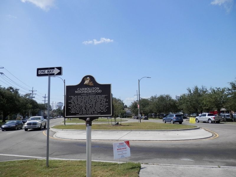
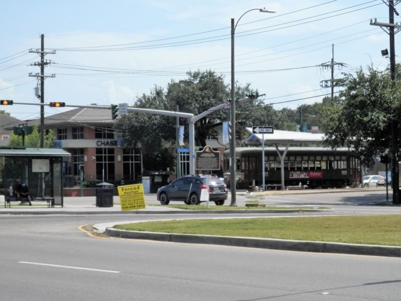
Location. 29° 57.362′ N, 90° 7.245′ W. Marker is in New Orleans, Louisiana, in Orleans Parish. It is in Leonidas. Marker is at the intersection of South Claiborne Avenue and South Carrollton Avenue, in the median on South Claiborne Avenue. Touch for map. Marker is in this post office area: New Orleans LA 70118, United States of America. Touch for directions.
Other nearby markers. At least 8 other markers are within one mile of this marker, measured as the crow flies. Walgreens 6,000th Store (within shouting distance of this marker); Carrollton No. 2 (approx. half a mile away); Carrollton No. 1 (approx. 0.6 miles away); Mater Dolorosa Church (approx. ¾ mile away); Tulane Stadium (approx. 0.8 miles away); H. Sophie Newcomb Memorial College (approx. one mile away); Newcomb Pottery Garden (approx. one mile away); National Shrine of Our Lady of Prompt Succor (approx. 1.1 miles away). Touch for a list and map of all markers in New Orleans.
Credits. This page was last revised on February 12, 2023. It was originally submitted on September 6, 2020, by Cajun Scrambler of Assumption, Louisiana. This page has been viewed 276 times since then and 29 times this year. Photos: 1, 2, 3. submitted on September 6, 2020, by Cajun Scrambler of Assumption, Louisiana.


