Near Bolivar in Jefferson County, West Virginia — The American South (Appalachia)
A Position Strong by Nature
Harpers Ferry National Historical Park
| — | National Park Service, U.S. Department of the Interior | — |
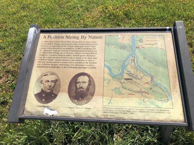
In 1862 Union Colonel Dixon Miles thought that the ridge in front of you, Bolivar Heights, was the perfect place to defend Harpers Ferry. However, in September of '62, Colonel Miles and 14,000 Union soldiers found themselves surrounded by 24,000 Confederates led by "Stonewall" Jackson. From the Confederate position behind you on School House Ridge, one of Jackson's officers described Bolivar Heights as "a position strong by nature." Jackson agreed. He had no time for a siege and did not want to risk an attack up the steep slope of Bolivar Heights. Jackson planned a fake attack here on the southern end of Bolivar Heights. Following a full afternoon of artillery bombardment on September 14, the Confederate plan began to unfold.
"In the afternoon, General Hill was ordered to move along the left bank of the Shenandoah, turn the enemy's left, and enter Harper's Ferry....General J.R. Jones was directed to make a demonstration against the enemy's right."
"Stonewall" Jackson
Erected by National Park Service, U.S. Department of the Interior.
Topics. This historical marker is listed in this topic list: War, US Civil. A significant historical year for this entry is 1862.
Location. 39° 19.372′ N,
this page online

Regionally, this marker is in the Washington Metropolitan Area and in the Eastern Panhandle. It is also in the American South, specifically in the Upper South, in Appalachia, and specifically in Northern Appalachia. Globally, it is in North America, the Western Hemisphere, the Western World, and the Anglosphere. Historically, it finds itself in what was once the territory of the Mississippian Culture and also the Antebellum South.
Other nearby markers. At least 8 other markers are within walking distance of this marker: A Dangerous Position (about 400 feet away, measured in a direct line); The First Line of Defense (about 400 feet away); We Began Firing At Will: The 111th New York Regiment (about 700 feet away); Union Skirmish Line
Another marker is no longer nearby. The First Line of Defense: The Union Skirmish Line (was here, next to this marker but has been replaced with another marker now near it).
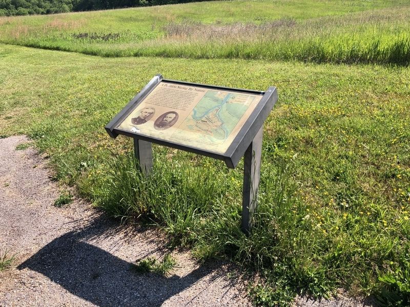
More about this marker. On the lower left are portraits of Col. Dixon Miles and Gen. "Stonewall" Jackson. On the right is a map detailing the Confederate positions surrounding Harpers Ferry, and those of the Federal defenders.
Also see . . . 1862 Battle of Harpers Ferry. National Park Service summary of the battle. (Submitted on February 14, 2008, by Craig Swain of Leesburg, Virginia.)
Photographed by Craig Swain, July 28, 2007
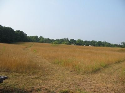
3. From the Marker Location Looking South
The Federal main line was behind the tree line on the left atop the ridge line of Bolivar Heights.
Photographed by Craig Swain, July 28, 2007
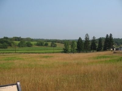
4. School House Ridge from the Marker Location
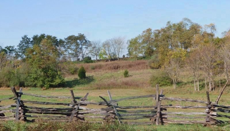
Photographed by Bradley Owen, October 22, 2020
5. View from the marker location looking east up towards the Union main line on Bolivar Heights.
Credits. This page was last revised on December 29, 2025. It was originally submitted on February 14, 2008, by Craig Swain of Leesburg, Virginia. This page has been viewed 1,895 times since then and 42 times this year. Last updated on September 6, 2020, by Bradley Owen of Morgantown, West Virginia. Photos: 1, 2. submitted on May 21, 2021, by Devry Becker Jones of Washington, District of Columbia. 3, 4. submitted on February 14, 2008, by Craig Swain of Leesburg, Virginia. 5. submitted on April 25, 2021, by Bradley Owen of Morgantown, West Virginia. • Devry Becker Jones was the editor who published this page.
