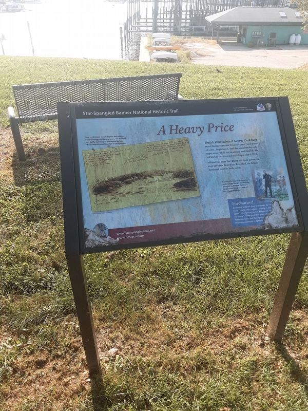
A Heavy Price
Star Spangled Banner National Historic Trail
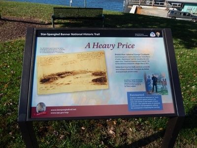
Militia fired upon Fort Duffy and from across the river at Pearce Point Fort. Provoked, the British destroyed much of both towns.
Forewarned
Cockburn ordered two waterman to “warn their Countrymen against acting in the same rash manner as the People of Havre de Grace”---who paid the price of resistance. Fredericktown and Georgetown suffered the consequences of ignoring the warning.
(Inscription next to the image in the upper left)
This 1813 British sketch depicts the raid on Fredericktown and Georgetown. “A” denotes Fort Duffy. Contrary to the legend below, “B” is Fredericktown and “C” is Georgetown.
(Inscription next to the image in the lower right)
According to legend, Georgetown resident Kitty Knight successfully appealed to Admiral Cockburn to spare her home and that of her elderly neighbor.
Erected 2014
this page online
Topics and series. This historical marker is listed in this topic list: War of 1812. In addition, it is included in the Star-Spangled Banner National Historic Trail series list. A significant historical date for this entry is May 6, 1813.
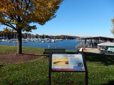
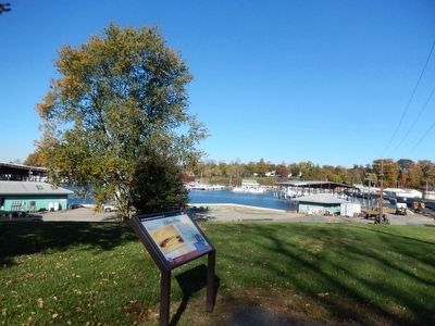
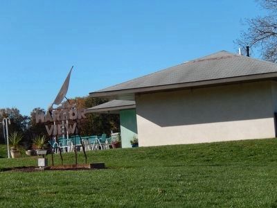
Location. 39° 21.746′ N, 75° 52.887′ W. Marker has been reported damaged. Marker is in Georgetown, Maryland, in Kent County. It is on Queen Street, on the left when traveling north. This marker is in Harbor View (formerly the location of Fort Duffy) and near the Kitty Knight house. Touch for map. Marker is in this post office area: Georgetown MD 21930, United States of America. Touch for directions.

Regionally, this marker is on the Eastern Shore. It is also in the American Mid-Atlantic, on the Delmarva Peninsula, in the Tidewater, in the Chesapeake Bay Region, and on the Eastern Seaboard. Globally, it is in the North Atlantic Region, North America, the Western Hemisphere, the Western World, and the Anglosphere. Historically, it finds itself in what was once one of the original Thirteen Colonies and also the Antebellum South.
Other nearby markers. At
Credits. This page was last revised on September 10, 2020. It was originally submitted on November 17, 2015, by Don Morfe of Baltimore, Maryland. This page has been viewed 956 times since then and 29 times this year. Last updated on September 7, 2020, by Carl Gordon Moore Jr. of North East, Maryland. Photos: 1, 2, 3, 4. submitted on November 17, 2015, by Don Morfe of Baltimore, Maryland. 5. submitted on September 7, 2020, by Carl Gordon Moore Jr. of North East, Maryland. • Bill Pfingsten was the editor who published this page.
