Near Fort Oglethorpe in Walker County, Georgia — The American South (South Atlantic)
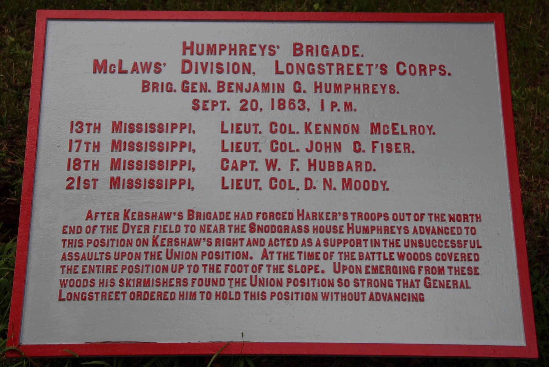
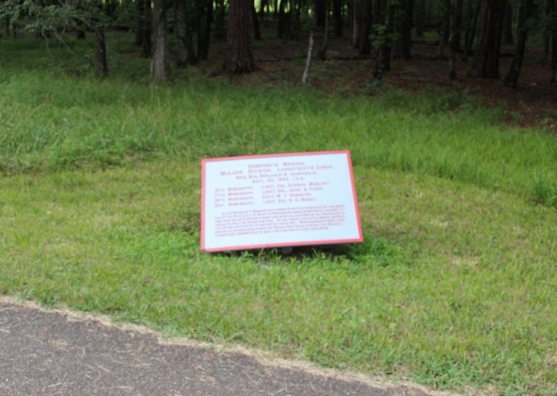
Humphreys' Brigade
McLaws' Division
— Longstreet's Corps —
McLaws' Division - Longstreet's Corps.
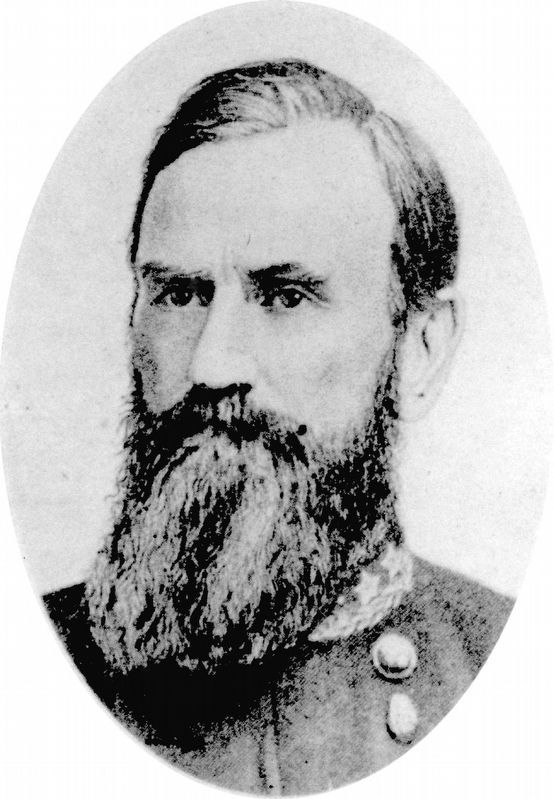
Brigadier General Benjamin G. Humphreys.
September 20, 1863, 1 p.m.
13th Mississippi - Lieutenant Colonel Kennon McElroy.
17th Mississippi - Lieutenant Colonel John C. Fiser.
18th Mississippi - Captain W.F. Hubbard.
21st Mississippi - Lieutenant Colonel D.N. Moody.
After Kershaw's Brigade had forced Harker's troops out of the north end of the Dyer field to near the Snodgrass house Humphreys advanced to this position on Kershaw's right and acted as a support in the unsuccessful assaults upon the Union position. At the time of the battle woods covered the entire position up to the foot of the slope. Upon emerging from these woods his skirmishers found the Union position so strong that General Longstreet ordered him to hold this position without advancing.
Erected 1890 by the Chickamauga and Chattanooga National Military Park Commission. (Marker Number MT-1166.)
Topics. This historical marker is listed in this topic list: War, US Civil. A significant historical date for this entry is September 20, 1863.
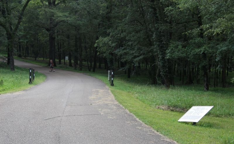
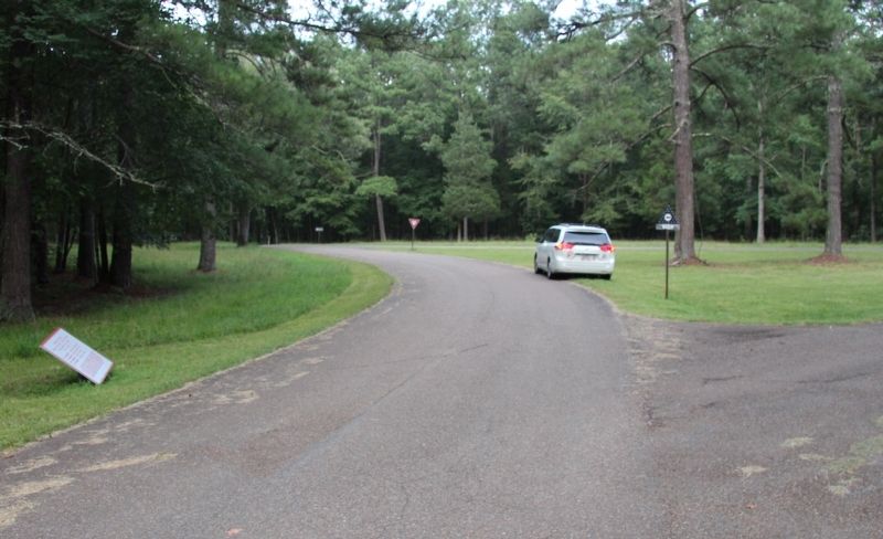
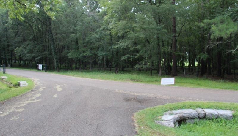
Location. 34° 55.646′ N, 85° 15.884′ W. Marker is near Fort Oglethorpe, Georgia, in Walker County. Marker is at the intersection of Vittetoe Road and Glenn-Kelly Road, on the right when traveling west on Vittetoe Road. This tablet is located just off of the north side of the roadway, in between where the intersection traffic island is located and the park gate to Snodgrass Hill is located. Touch for map. Marker is in this post office area: Fort Oglethorpe GA 30742, United States of America. Touch for directions.
Other nearby markers. At least 8 other markers are within walking distance of this marker. 8th South Carolina Infantry (about 700 feet away, measured in a direct line); 63rd Tennessee Infantry (approx. 0.2 miles away); Gracie's Brigade (approx. 0.2 miles away); 15th South Carolina Infantry (approx. 0.2 miles away); a different marker also named Humphrey's Brigade (approx. 0.2 miles away); Kershaw's Brigade (approx. 0.2 miles away); 44th Indiana Infantry (approx. 0.2 miles away); 125th Ohio Infantry (approx. 0.2 miles away). Touch for a list and map of all markers in Fort Oglethorpe.
More about this marker. In locating this tablet I used the "Chickamauga Battlefield" map, that I purchased at the Chickamauga and Chattanooga National Military Park, Visitor Center, to determine both the marker number for this tablet and the tablet's location in relation to the rest of the park's monuments, markers, and tablets. According to the map it provides the, "numerical listing of all monuments, markers, and tablets on the Chickamauga Battlefield (using the Chick-Chatt NMP Monument Numbering System).”
Credits. This page was last revised on September 14, 2020. It was originally submitted on August 27, 2017. This page has been viewed 280 times since then and 29 times this year. Last updated on September 9, 2020, by Allen C. Browne of Silver Spring, Maryland. Photos: 1, 2, 3, 4, 5. submitted on August 28, 2017, by Dale K. Benington of Toledo, Ohio. 6. submitted on September 9, 2020, by Allen C. Browne of Silver Spring, Maryland. • J. Makali Bruton was the editor who published this page.
