Punxsutawney in Jefferson County, Pennsylvania — The American Northeast (Mid-Atlantic)
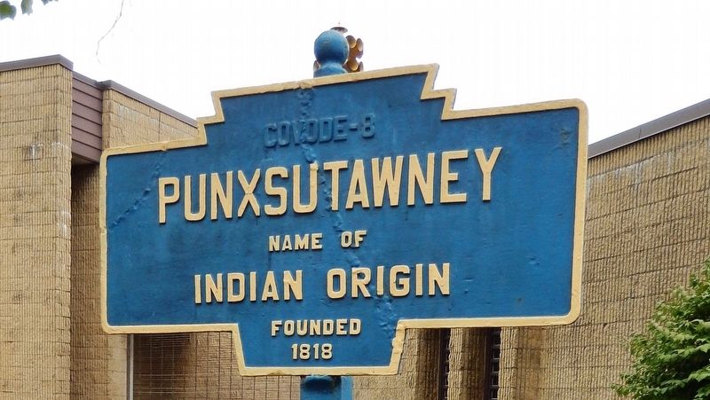
Punxsutawney
Topics and series. This historical marker is listed in these topic lists: Native Americans • Settlements & Settlers. In addition, it is included in the Pennsylvania Keystone Markers series list. A significant historical year for this entry is 1818.
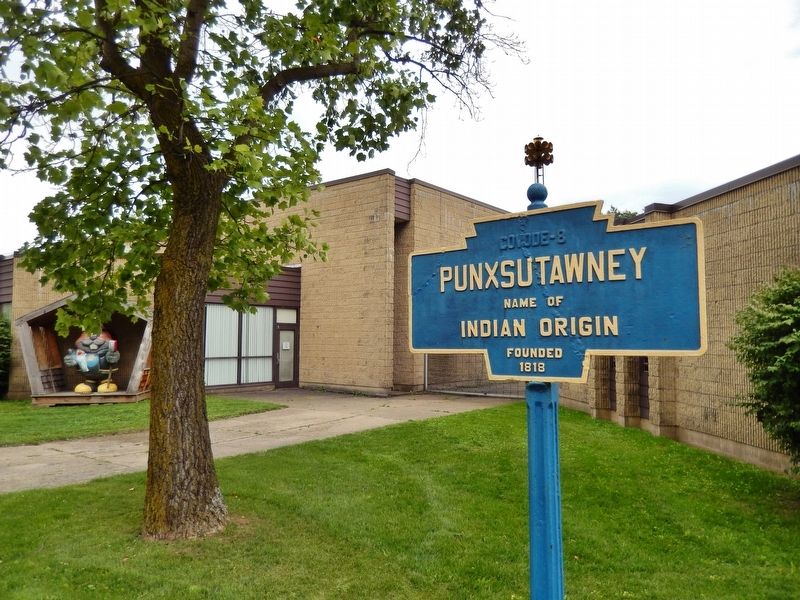
Location. 40° 56.655′ N, 78° 58.077′ W. Marker is in Punxsutawney, Pennsylvania, in Jefferson County. Marker is on East Mahoning Street (Pennsylvania Route 36) just east of North Penn Street, on the right when traveling east. Marker is located beside the sidewalk, in front of the Punxsutawney Borough Administration building. Touch for map. Marker is at or near this postal address: 300 East Mahoning Street, Punxsutawney PA 15767, United States of America. Touch for directions.
Other nearby markers. At least 8 other markers are within 11 miles of this marker, measured as the crow flies. Barclay Square (about 400 feet away, measured in a direct line); Groundhog Day (approx. one mile away); Charles J. Margiotti (approx. 1.3 miles away); Great Shamokin Path (approx. 3.3 miles away); Rossiter Strike Injunction (approx. 3.7 miles away); First Pennsylvania Troopers Killed in the Line of Duty (approx. 4.4 miles away); Millstone (approx. 8.1 miles away); Fort Mahoning (approx. 10˝ miles away). Touch for a list and map of all markers in Punxsutawney.
Also see . . . Punxsutawney, Pennsylvania (Wikipedia) . The area was originally settled by the Lenape (Delaware Native Americans), and the name "Punxsutawney" derives from a Native name in Unami (a Lenape language): Punkwsutčnay, which translates to "town of the sandflies" or "town of the mosquitoes." Settlers drawn by lumbering and coal mining eventually drained the swamps and exterminated the insects. (Submitted on September 10, 2020, by Cosmos Mariner of Cape Canaveral, Florida.)
Credits. This page was last revised on May 24, 2023. It was originally submitted on September 9, 2020, by Cosmos Mariner of Cape Canaveral, Florida. This page has been viewed 251 times since then and 31 times this year. Photos: 1, 2, 3. submitted on September 10, 2020, by Cosmos Mariner of Cape Canaveral, Florida.


