Cedar Key in Levy County, Florida — The American South (South Atlantic)
The Cedar Keys: Pencils, Lumber, Palm Fiber and Brushes
Photographed by Tim Fillmon, November 2, 2023
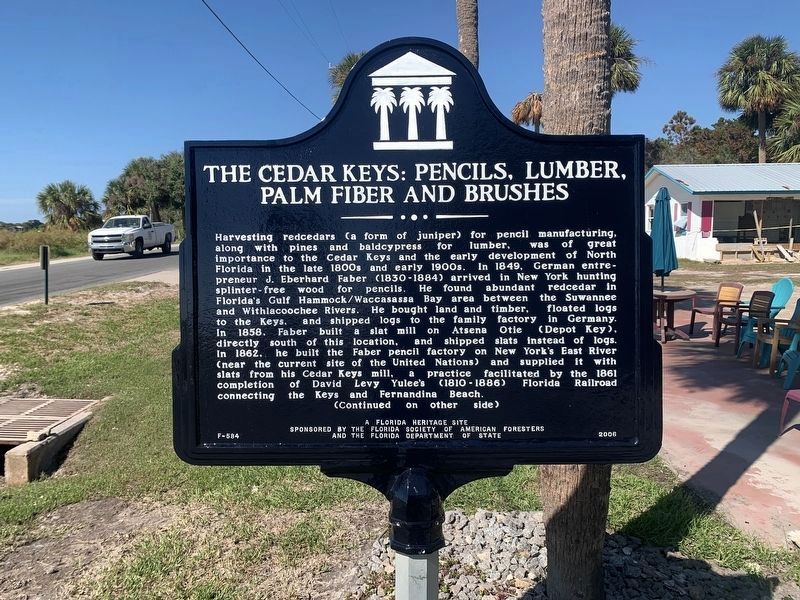
1. The Cedar Keys: Pencils, Lumber, Palm Fiber and Brushes Marker Side 1
After restoration following Hurricane Idalia.
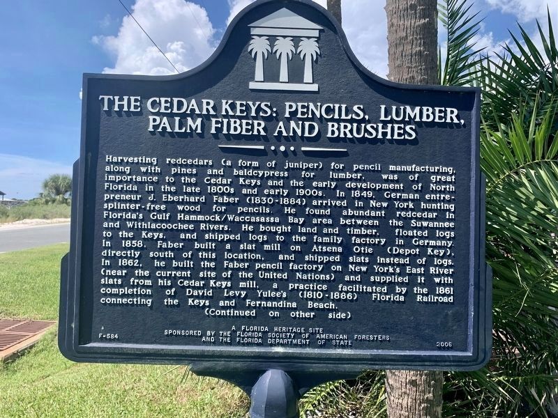
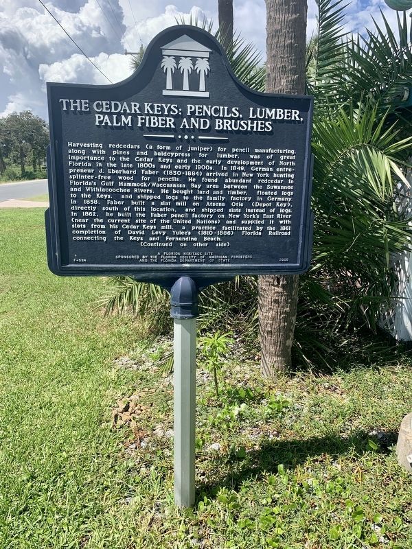
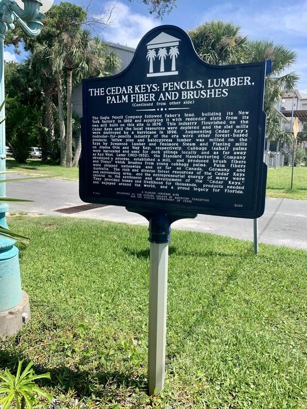
Harvesting redcedars (a form of juniper) for pencil manufacturing, along with pines and baldcypress for lumber, was of great importance to the Cedar Keys and the early development of North Florida in the late 1800s and early 1900s. In 1849, German entrepreneur J. Eberhard Faber (1830-1884) arrived in New York hunting splinter-free wood for pencils. He found abundant redcedar in Florida’s Gulf Hammock/Waccasassa Bay area between the Suwannee and Withlacoochee Rivers. He bought land and timber, floated logs to the Keys, and shipped logs to the family factory in Germany. In 1858, Faber built a slat mill on Atsena Otie (Depot Key), directly south of this location, and shipped slats instead of logs. In 1862, he built the Faber pencil factory on New York’s East River (near the current site of the United Nations) and supplied it with slats from his Cedar Keys mill, a practice facilitated by the 1861 completion of David Levy Yulee's (1810-1886) Florida Railroad connecting the Keys and Fernandina Beach.
this page online
Photographed by Tim Fillmon, November 2, 2023
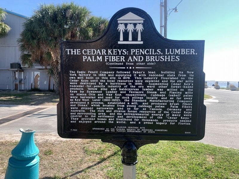
2. The Cedar Keys: Pencils, Lumber, Palm Fiber and Brushes Marker Side 2
After restoration following Hurricane Idalia.
Erected 2006 by the Florida Society of American Foresters and the Florida Department of State. (Marker Number F-584.)
Topics. This historical marker is listed in these topic lists: Horticulture & Forestry • Industry & Commerce. A significant historical year for this entry is 1849.
Location. 29° 8.14′ N, 83° 2.184′ W. Marker is in Cedar Key, Florida, in Levy County. It is at the intersection of G Street and Third Street, on the right when traveling north on G Street. Touch for map. Marker is in this post office area: Cedar Key FL 32625, United States of America. Touch for directions.

Regionally, this marker is in North Florida. It is also in the American South and on the Gulf Coast. Globally, it is in the North Atlantic Region, North America, a Gulf of Mexico state, the Western Hemisphere, the Western World, and the Anglosphere. Historically, it finds itself in what was once New Spain, the territory of the Mississippian Culture, one of the Confederate States of America, and the Antebellum South.
Other nearby markers. At least 6 other markers are within 15 miles of this marker,
Photographed by Jay Kravetz, September 10, 2020
3. The Cedar Keys: Pencils, Lumber, Palm Fiber and Brushes Marker (side 1)
Additional commentary.
1. Hurricane Idalia Aftermath
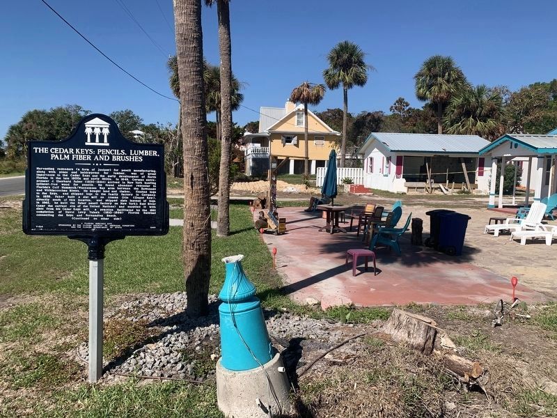
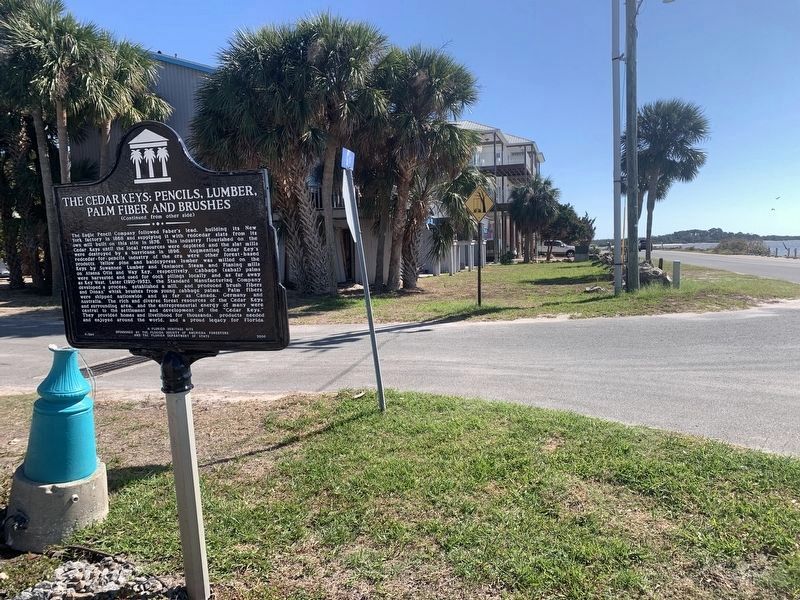
This marker was broken in two when a nine foot wall of water slammed into it and the surrounding area. The nearby motel was devastated as was the town in general. New pictures are of it and the area around it after repairs were made.
— Submitted December 23, 2023, by Tim Fillmon of Webster, Florida.
Photographed by Jay Kravetz, September 10, 2020
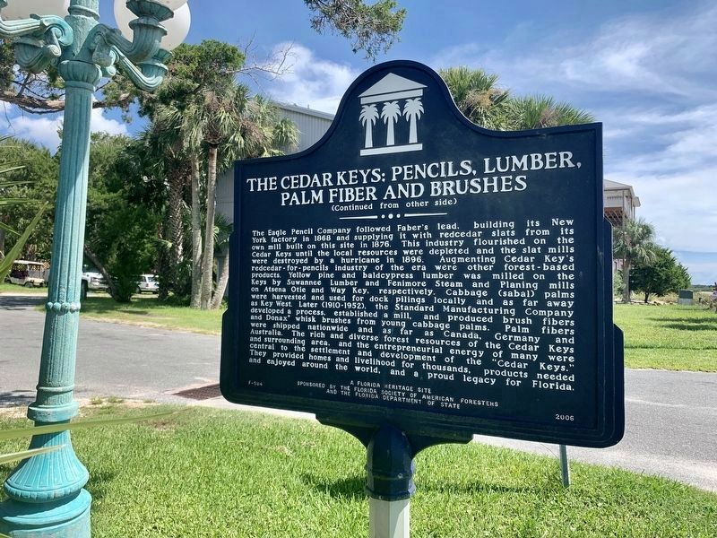
4. The Cedar Keys: Pencils, Lumber, Palm Fiber and Brushes Marker (side 2)
Photographed by Jay Kravetz, September 10, 2020
5. The Cedar Keys: Pencils, Lumber, Palm Fiber and Brushes Marker
Photographed by Jay Kravetz, September 10, 2020
6. The Cedar Keys: Pencils, Lumber, Palm Fiber and Brushes Marker
Photographed by Tim Fillmon, November 2, 2023
7. The Cedar Keys: Pencils, Lumber, Palm Fiber and Brushes Marker
After restoration following Hurricane Idalia.
Photographed by Tim Fillmon, November 2, 2023
8. The Cedar Keys: Pencils, Lumber, Palm Fiber and Brushes Marker
After restoration following Hurricane Idalia.
Credits. This page was last revised on November 28, 2024. It was originally submitted on September 10, 2020, by Jay Kravetz of West Palm Beach, Florida. This page has been viewed 4,282 times since then and 314 times this year. Photos: 1, 2. submitted on December 23, 2023, by Tim Fillmon of Webster, Florida. 3, 4, 5, 6. submitted on September 10, 2020, by Jay Kravetz of West Palm Beach, Florida. 7, 8. submitted on December 23, 2023, by Tim Fillmon of Webster, Florida. • Bernard Fisher was the editor who published this page.
