Mount Vernon near Alexandria in Fairfax County, Virginia — The American South (Mid-Atlantic)
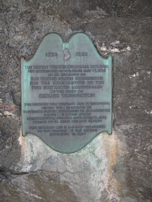
The Mount Vernon Memorial Highway
1732 – 1932
was authorized by Congress May 23, 1928
as an activity of
the United States Commission
for the celebration of the
two hundredth anniversary
of the birth of
George Washington
The highway was designed and constructed
under the direction of
the United States Department of Agriculture
Bureau of Public Roads.
Construction started September 12, 1929
Opened to traffic January 16, 1932
This highway was formally dedicated
to the service of the people
November 15, 1932
Erected 1932.
Topics. This historical marker is listed in this topic list: Roads & Vehicles. A significant historical date for this entry is January 16, 1861.
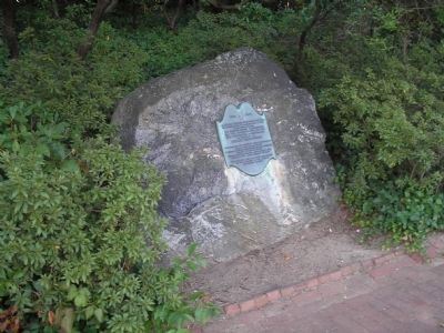
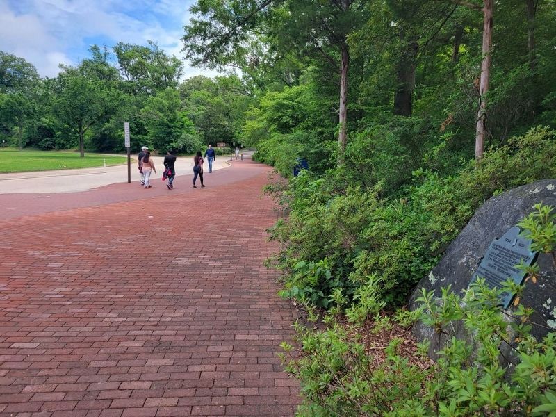
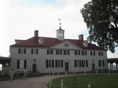
Location. 38° 42.638′ N, 77° 5.163′ W. Marker is near Alexandria, Virginia, in Fairfax County. It is in Mount Vernon. Marker is on Mount Vernon Memorial Highway (Virginia Route 400), on the left when traveling south. Marker is located near the entrance to George Washington’s Mount Vernon Estate & Gardens. Touch for map. Marker is in this post office area: Alexandria VA 22309, United States of America. Touch for directions.
Other nearby markers. At least 8 other markers are within walking distance of this marker. Origin of the Purple Heart Trail (a few steps from this marker); George Washington's Mount Vernon (within shouting distance of this marker); "The Texas Gate" (within shouting distance of this marker); a different marker also named "The Texas Gate" (within shouting distance of this marker); Gateway to the Nation's Capital (about 500 feet away, measured in a direct line); George Washington's Landscape Design (about 700 feet away); Upper Garden (about 700 feet away); Bowling Green (about 800 feet away). Touch for a list and map of all markers in Alexandria.
Also see . . . George Washington’s Mount Vernon Estate & Gardens. (Submitted on January 24, 2009, by Bill Coughlin of Woodland Park, New Jersey.)
Additional commentary.
1. Before this Highway an Electric Railway ran to Mount Vernon
This highway replaced the Washington, Alexandria and Mount Vernon Electric Railway, later the Washington-Virginia Railway, which ceased operations two days after the highway opened to traffic. It had been built in 1892. Parts of the highway/parkway south of Alexandria were built on the railway's right of way. The path of the trolleycar turnaround at Mount Vernon is now the traffic circle at the south end of the highway.
— Submitted April 15, 2016, by J. J. Prats of Powell, Ohio.
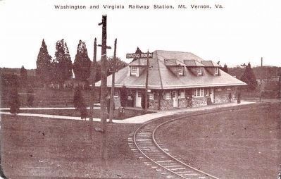
From the J.J. Prats Postcard Collection, circa 1910s
6. Washington and Virginia Railway Station, Mt. Vernon, Va.
“New $25,000 Station and Waiting Room, Mt. Vernon, Va. In this building there is one of the finest dining rooms in the country, made famous by the Chicken dinners and lunches served. Open all the year. T. F. Ellis, Proprietor.” Published by Louis Kaufmann & Sons, Baltimore, Md. for T. F. Ellis — K. 1028.
Credits. This page was last revised on January 27, 2023. It was originally submitted on January 24, 2009, by Bill Coughlin of Woodland Park, New Jersey. This page has been viewed 1,264 times since then and 27 times this year. Photos: 1, 2. submitted on January 24, 2009, by Bill Coughlin of Woodland Park, New Jersey. 3. submitted on June 12, 2022, by James King of San Miguel, California. 4, 5. submitted on January 24, 2009, by Bill Coughlin of Woodland Park, New Jersey. 6. submitted on April 15, 2016, by J. J. Prats of Powell, Ohio.
