Near D'Hanis in Medina County, Texas — The American South (West South Central)
Fort Lincoln
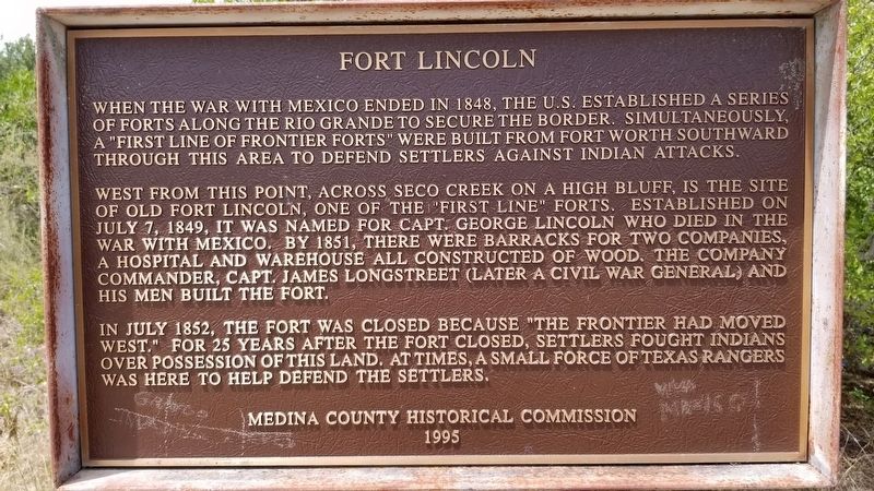
When the war with Mexico ended in 1848, the U.S. established a series of forts along the Rio Grande to secure the border. Simultaneously, a "first line of frontier forts" were built from Fort Worth southward through this area to defend settlers against Indian attacks.
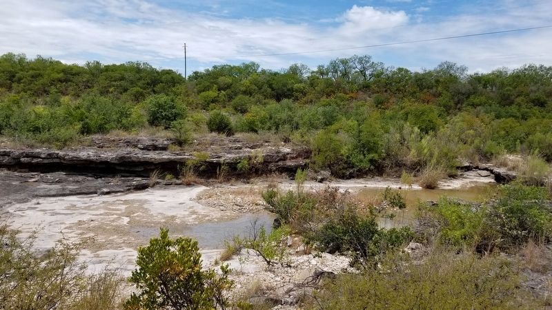
West from this point, across Seco Creek on a high bluff is the site of old Fort Lincoln, one of the "first line" forts. Established on July 7, 1849, it was named for Capt. George Lincoln who died in the war with Mexico. By 1851, there were barracks for two companies, a hospital and warehouse all constructed of wood. The company commander, Capt. James Longstreet (later a Civil War general) and his men built the fort.
In July 1852, the fort was closed because "the frontier had moved west." For 25 years after the fort closed, settlers fought Indians over possession of this land. At times, a small force of Texas Rangers was here to help defend the settlers.
Erected 1995 by Medina County Historical Commission.
Topics. This historical marker is listed in these topic lists: Settlements & Settlers • War, Mexican-American • Wars, US Indian. A significant historical date for this entry is July 7, 1849.
Location. 29° 21.546′ N, 99° 16.921′ W. Marker is near D'Hanis , Texas, in Medina County. Marker is on Farm to Market Road 1796 (Farm to Market Road 1796) 2 miles north of U.S. 90, on the left when traveling north. Touch for map. Marker is in this post office area: D Hanis TX 78850, United States of America. Touch for directions.
Other nearby markers. At least 8 other markers are within 7 miles of this marker, measured as the crow flies. Richarz Cemetery (approx. 0.9 miles away); D'Hanis Brick and Tile Company (approx. 1.9 miles away); J.M. Koch's Hotel (approx. 1.9 miles away); D'Hanis (approx. 1.9 miles away); Town of D'Hanis (approx. 2.6 miles away); Site of Saint Dominic Catholic Church and Cemetery (approx. 2.6 miles away); Hondo Army Air Field (approx. 6.8 miles away); a different marker also named Hondo Army Air Field (approx. 6.8 miles away). Touch for a list and map of all markers in D'Hanis.
Also see . . . Fort Lincoln History. TSHA Texas State Historical Association (Submitted on September 11, 2020, by James Hulse of Medina, Texas.)
Credits. This page was last revised on September 12, 2020. It was originally submitted on September 11, 2020, by James Hulse of Medina, Texas. This page has been viewed 298 times since then and 41 times this year. Photos: 1, 2. submitted on September 11, 2020, by James Hulse of Medina, Texas. • J. Makali Bruton was the editor who published this page.

