Near Boron in Kern County, California — The American West (Pacific Coastal)
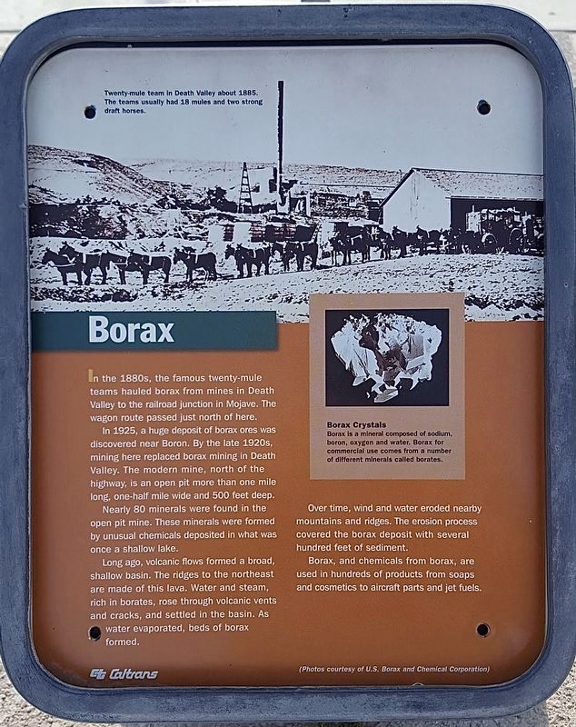
Borax
In the 1880s, the famous twenty-mule teams hauled borax from mines in Death Valley to the railroad junction in Mojave. The wagon route passed just north of here.
In 1925, a huge deposit of borax ores was discovered near Boron. By the late 1920s, mining here replaced borax mining in Death Valley. The modern mine, north of the highway, is an open pit more than one mile long, one-half mile wide and 500 feet deep.
Nearly 80 minerals were found in the open pit mine. These minerals were formed by unusual chemicals deposited in what was once a shallow lake.
Long ago, volcanic flows formed a broad, shallow basin. The ridges to the northeast are made of this lava. Water and steam, rich in borates, rose through volcanic vents and cracks, and settled in the basin. As water evaporated, beds of borax formed.
Over time, wind and water eroded nearby mountains and ridges. The erosion process covered the borax deposit with several hundred feet of sediment.
Borax, and chemicals from borax, are used in hundreds of products from soaps and cosmetics to aircraft parts and jet fuels.
Borax Crystals
Borax is a mineral composed of sodium, boron, oxygen and water. Borax for commercial use comes from a number of different minerals called borates.
Photo caption: Twenty-mule team in Death Valley about 1885. The teams usually had 18 mules and two strong draft horses.
Erected by CalTrans.
Topics. This historical marker is listed in these topic lists: Industry & Commerce • Natural Resources • Roads & Vehicles. A significant historical year for this entry is 1885.
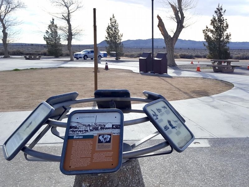
Location. 35° 0.332′ N, 117° 43.13′ W. Marker is near Boron, California, in Kern County. Marker is on California Route 58, 2˝ miles east of Twenty Mule Team Road. Located in the Boron Rest Area on eastbound Highway 58, 26 miles east of Mojave. Touch for map. Marker is in this post office area: Boron CA 93516, United States of America. Touch for directions.
Other nearby markers. At least 8 other markers are within 11 miles of this marker, measured as the crow flies. Twenty Mule Team (approx. 2.4 miles away); Miner's Cabin (approx. 3.9 miles away); Rocket Site (approx. 5˝ miles away); F-8 Supercritical Wing Aircraft (approx. 10.3 miles away); NF-15B (approx. 10.3 miles away); F-8 DFBW (approx. 10.3 miles away); F-8 Digital Fly-By-Wire Aircraft (approx. 10.3 miles away); HiMAT (approx. 10.3 miles away). Touch for a list and map of all markers in Boron.
More about this marker. This marker is often vandalized and unreadable.
Related marker. Click here for another marker that is related to this marker. — Visitor Center at today’s open pit mine.
Credits. This page was last revised on February 15, 2023. It was originally submitted on September 12, 2020, by Craig Baker of Sylmar, California. This page has been viewed 158 times since then and 16 times this year. Photos: 1, 2. submitted on September 12, 2020, by Craig Baker of Sylmar, California. • J. Makali Bruton was the editor who published this page.

