Near Markley in Young County, Texas — The American South (West South Central)
The Stone Houses
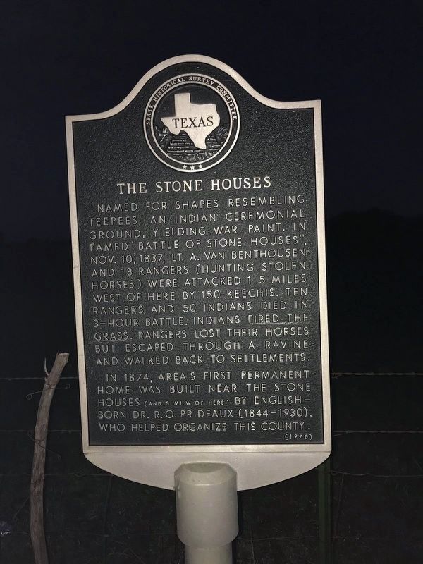
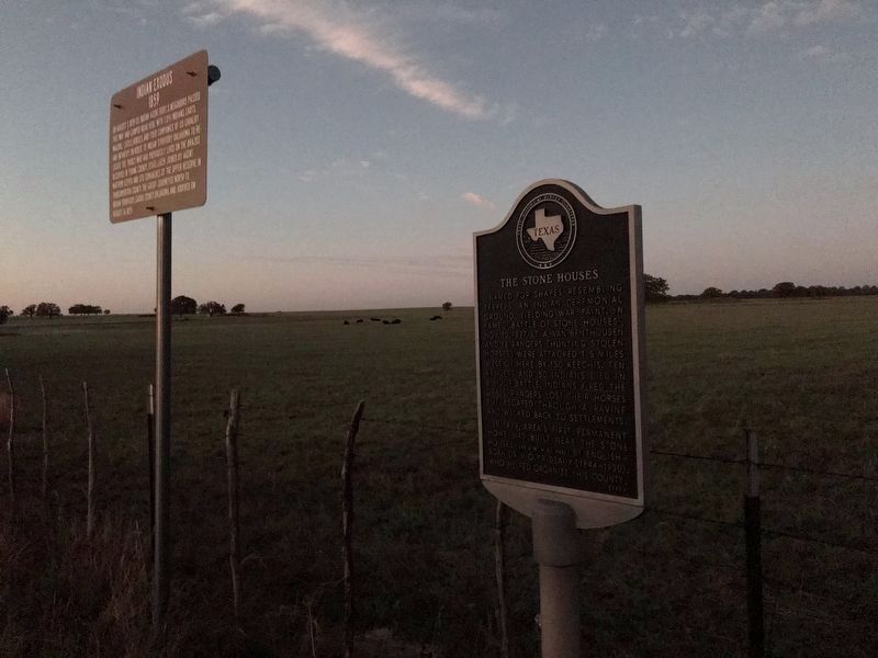
Named for shapes resembling teepees; an Indian ceremonial ground, yielding war paint. In famed "Battle of Stone Houses," Nov. 10, 1837, Lt. A. Van Benthousen and 18 Rangers (hunting stolen horses) were attacked 1.5 miles west of here by 150 Keechis. Ten Rangers and 50 Indians died in 3-hour battle. Indians fired the grass. Rangers lost their horses but escaped through a ravine and walked back to settlements.
In 1874, area's first permanent home was built near the stone houses (and 5 mi. W of here) by English-born Dr. R. O. Prideaux (1844-1930), who helped organize this county.
Erected 1970 by State Historical Survey Committee. (Marker Number 5432.)
Topics. This historical marker is listed in these topic lists: Settlements & Settlers • Wars, US Indian. A significant historical date for this entry is October 10, 1837.
Location. 33° 25.849′ N, 98° 27.452′ W. Marker is near Markley, Texas, in Young County. Marker is at the intersection of State Highway 16 and Prideaux Road, on the right when traveling south on State Highway 16. Touch for map. Marker is in this post office area: Windthorst TX 76389, United States of America. Touch for directions.
Other nearby markers. At least 8 other markers are within 15 miles of this marker, measured as the crow flies. Indian Exodus 1859 (a few steps from this marker); Markley Cemetery Decoration Day (approx. 4˝ miles away); Site of Loving Ranch House (approx. 11.7 miles away); Community of Jermyn (approx. 12.2 miles away); First Methodist Church Jermyn, Texas (approx. 12.4 miles away); Archer County (approx. 13 miles away); Sheriff E. Harrison Ikard (approx. 14.9 miles away); Camp Cureton, C.S.A. (approx. 14.9 miles away). Touch for a list and map of all markers in Markley.
Also see . . . The Battle of the Knobs or The Battle of Stone Houses - A story of 2 locations. Texas History Notebook blog entry (Submitted on September 13, 2020, by James Hulse of Medina, Texas.)
Credits. This page was last revised on August 16, 2022. It was originally submitted on September 13, 2020, by James Hulse of Medina, Texas. This page has been viewed 480 times since then and 82 times this year. Photos: 1, 2, 3. submitted on September 13, 2020, by James Hulse of Medina, Texas. • J. Makali Bruton was the editor who published this page.


