Empire in Jefferson County, Ohio — The American Midwest (Great Lakes)
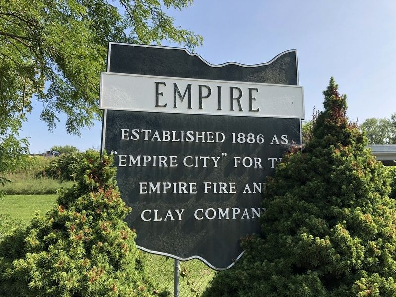
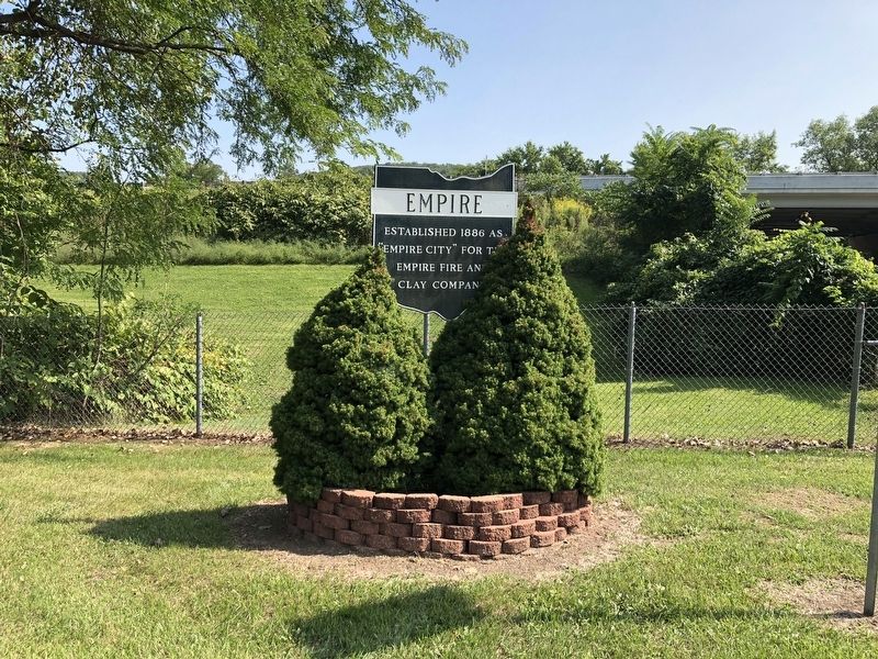
Empire
Topics. This historical marker is listed in these topic lists: Industry & Commerce • Settlements & Settlers. A significant historical year for this entry is 1886.
Location. 40° 30.488′ N, 80° 37.358′ W. Marker is in Empire, Ohio, in Jefferson County. Marker is at the intersection of Nessley Street and Stewart Street (Ohio Route 152), on the right when traveling north on Nessley Street. Touch for map. Marker is at or near this postal address: 141 Nessley St, Empire OH 43926, United States of America. Touch for directions.
Other nearby markers. At least 8 other markers are within walking distance of this marker. World Wars I & II Memorial (about 500 feet away, measured in a direct line); Old Town (approx. 0.7 miles away in West Virginia); Ohio River (approx. 0.9 miles away in West Virginia); New Cumberland (approx. 0.9 miles away in West Virginia); Brickyard Bend (approx. 0.9 miles away in West Virginia); a different marker also named Old Town (approx. 0.9 miles away in West Virginia); Captain John Porter / Chelsea China Company (approx. 0.9 miles away in West Virginia); Contested County Seat (approx. 0.9 miles away in West Virginia).
Credits. This page was last revised on September 13, 2020. It was originally submitted on September 13, 2020, by Devry Becker Jones of Washington, District of Columbia. This page has been viewed 145 times since then and 11 times this year. Photos: 1, 2. submitted on September 13, 2020, by Devry Becker Jones of Washington, District of Columbia.

