Moab in Grand County, Utah — The American Mountains (Southwest)
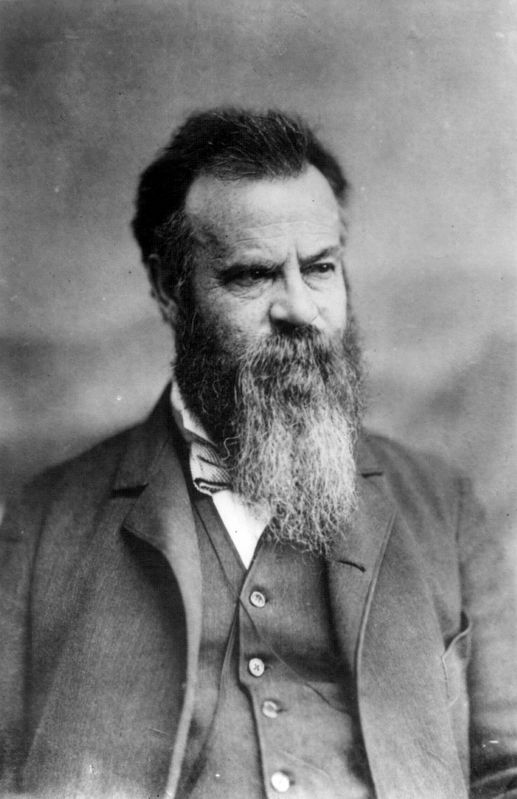
John Wesley Powell on the Green River
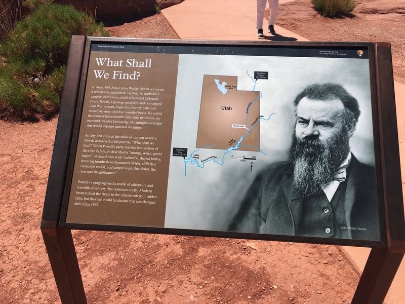
What Shall We Find?
Inscription.
In May 1869, Major John Wesley Powell set out on a remarkable mission: to explore the uncharted canyons and waters of the Green and Colorado rivers. Powell, a geology professor and one-armed Civil War veteran, began the journey with nine novice oarsmen and four wooden boats. He ended the journey three months later with two boats, six men and detailed knowledge of a unique landscape that would capture national attention.
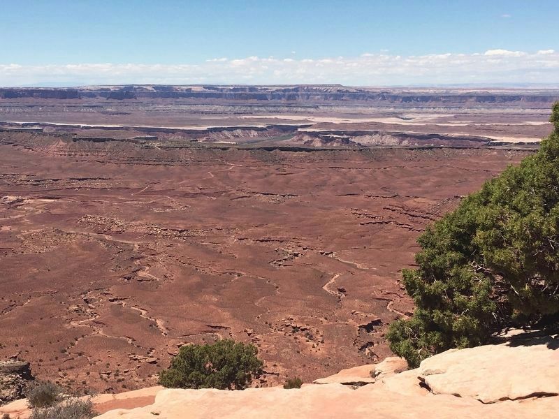
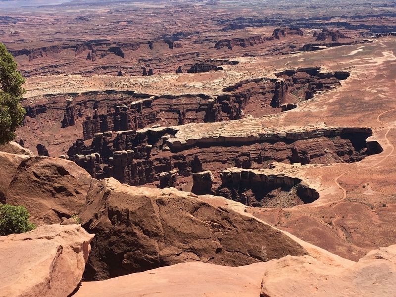
As they first entered the wilds of canyon country, Powell wondered in his journal, “What shall we find?” When Powell’s party reached this section of the river in July, he described a “strange, weird, grand region” of naked rock with “cathedral-shaped buttes, towering hundreds or thousands of feet, cliffs that cannot be scaled, and canyon walls that shrink the river into insignificance."
Powell’s voyage opened a world of adventure and scientific discovery that continues today. Modern boaters float the rivers in the relative safety of rubber rafts, but they see a wild landscape that has changed little since 1869.
Erected by National Park Service.
Topics. This historical marker is listed in this topic list: Exploration. A significant historical year for this entry is 1869.
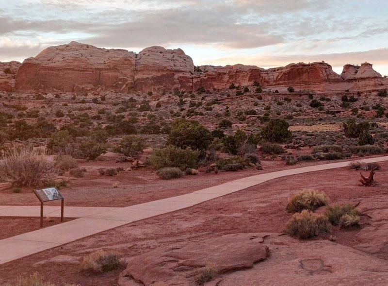
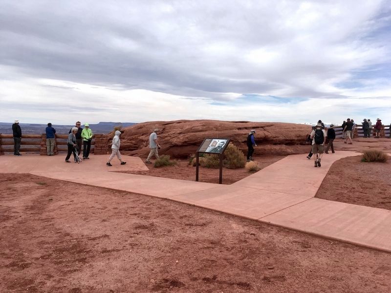
Location. 38° 22.704′ N, 109° 53.3′ W. Marker is in Moab, Utah, in Grand County. Marker can be reached from Green River Overlook Road, 1.4 miles west of Upheaval Dome Road. Located in Canyonlands National Park at Green River Overlook. Touch for map. Marker is in this post office area: Moab UT 84532, United States of America. Touch for directions.
Other nearby markers. At least 8 other markers are within 11 miles of this marker, measured as the crow flies. Green River Overlook (a few steps from this marker); Aztec Butte (approx. 1.1 miles away); Tracks in the Canyon (approx. 2.7 miles away); Protecting Wilderness (approx. 4.8 miles away); The Neck (approx. 6.3 miles away); Indian Ricegrass (approx. 6.7 miles away); The Legend of Dead Horse Point (approx. 10.4 miles away); The Origins Of a Name (approx. 10.4 miles away). Touch for a list and map of all markers in Moab.
Related marker. Click here for another marker that is related to this marker. Separation Canyon, near the end of the journey.
Credits. This page was last revised on September 13, 2020. It was originally submitted on July 28, 2018. This page has been viewed 286 times since then and 14 times this year. Last updated on September 13, 2020. Photos: 1. submitted on July 28, 2018, by Thomas Anderson of Haddon Township, New Jersey. 2. submitted on December 19, 2018, by Craig Baker of Sylmar, California. 3. submitted on April 9, 2019, by Craig Baker of Sylmar, California. 4. submitted on July 28, 2018, by Thomas Anderson of Haddon Township, New Jersey. 5. submitted on September 13, 2020, by Allen C. Browne of Silver Spring, Maryland. 6. submitted on July 28, 2018, by Thomas Anderson of Haddon Township, New Jersey. • J. Makali Bruton was the editor who published this page.
