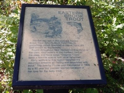
Eastern Brook Trout
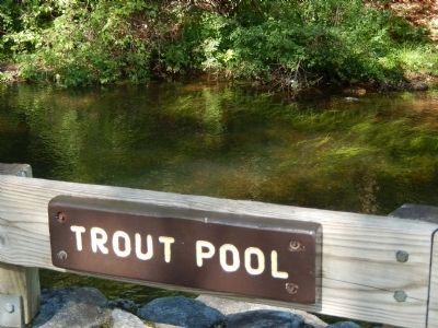
The fish you see in this pool are Eastern Brook Trout (Salvelinus Fontinalis), sometimes called Speckled or Native Trout, but best known as Squaretails.
Found throughout New Hampshire they thrive in the clear, cold waters of the northern part of the state, and have since "Colonial Times" been a favorite species with local fishermen.
Early settlers to this region reported the mountain streams as "being well populated with trout." The nearby Flume was discovered in 1808 by a 93 year old pioneer woman because of her love for the tasty trout.
Topics. This historical marker is listed in this topic list: Animals. A significant historical year for this entry is 1808.
Location. 44° 5.834′ N, 71° 40.83′ W. Marker is in Franconia, New Hampshire, in Grafton County. Marker can be reached from U.S. 3. Marker is in Franconia Notch State Park. Touch for map. Marker is in this post office area: Franconia NH 03580, United States of America. Touch for directions.
Other nearby markers. At least 8 other markers are within 4 miles of this marker, measured as the crow flies. Franconia Notch State Park (here, next to this marker); A Bit of History (a few steps from this marker); The Flume (within shouting distance of this marker); a different marker also named The Flume (about 300 feet away, measured in a direct line); Franconia Range (about 300 feet away); Betty and Barney Hill Incident
Credits. This page was last revised on September 15, 2020. It was originally submitted on August 21, 2014. This page has been viewed 374 times since then and 11 times this year. Last updated on September 13, 2020, by Bradley Owen of Morgantown, West Virginia. Photos: 1, 2. submitted on August 21, 2014, by Bill Pfingsten of Bel Air, Maryland. • J. Makali Bruton was the editor who published this page.

