Near Bryant in Jackson County, Alabama — The American South (East South Central)
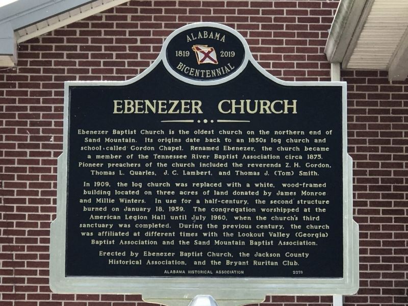
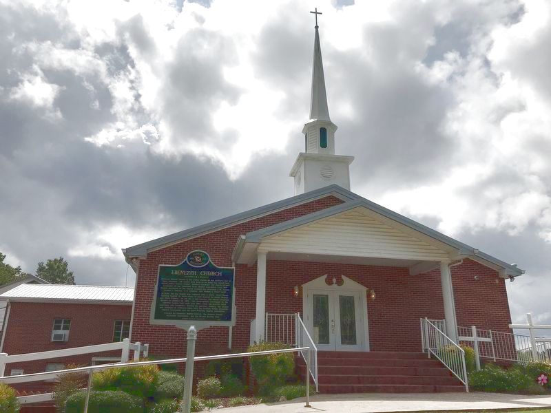
Ebenezer Church
In 1909, the log church was replaced with a white, wood-framed building located on three acres of land donated by James Monroe and Millie Winters. In use for a half-century, the second structure burned on January 18, 1959. The congregation worshipped at the American Legion Hall until July 1960, when the church's third sanctuary was completed. During the previous century, the church was affiliated at different times with the Lookout Valley (Georgia) Baptist Association and the Sand Mountain Baptist Association.
Erected 2019 by Ebenezer Baptist Church; Jackson County Historical Association; Bryant Ruritan Club; Alabama Historical Association.
Topics and series. This historical marker is listed in this topic list: Churches & Religion. In addition, it is included in the Alabama Historical Association series list. A significant historical year for this entry is 1850.
Location. 34° 56.261′ N, 85° 37.44′ W. Marker is near Bryant, Alabama, in Jackson County. Marker is on County Road 90, 0.1 miles east of Alabama Route 73, on the right when traveling east. Touch for map. Marker is at or near this postal address: 134 County Road 90, Bryant AL 35958, United States of America. Touch for directions.
Other nearby markers. At least 8 other markers are within 7 miles of this marker, measured as the crow flies. The TVA System of Multipurpose Dams (approx. 4˝ miles away in Tennessee); Trail of Tears (approx. 4.7 miles away); Love's Ferry (approx. 4.9 miles away in Tennessee); In Rememberance of Those Who Served (approx. 5 miles away); Bridgeport (approx. 5.8 miles away); White Oak Gap (approx. 6.3 miles away in Georgia); a different marker also named Trail of Tears (approx. 6.8 miles away); Fort McCook (approx. 6.8 miles away in Tennessee).
Credits. This page was last revised on September 14, 2020. It was originally submitted on September 13, 2020, by Duane and Tracy Marsteller of Murfreesboro, Tennessee. This page has been viewed 342 times since then and 31 times this year. Photos: 1, 2. submitted on September 13, 2020, by Duane and Tracy Marsteller of Murfreesboro, Tennessee. • Mark Hilton was the editor who published this page.

