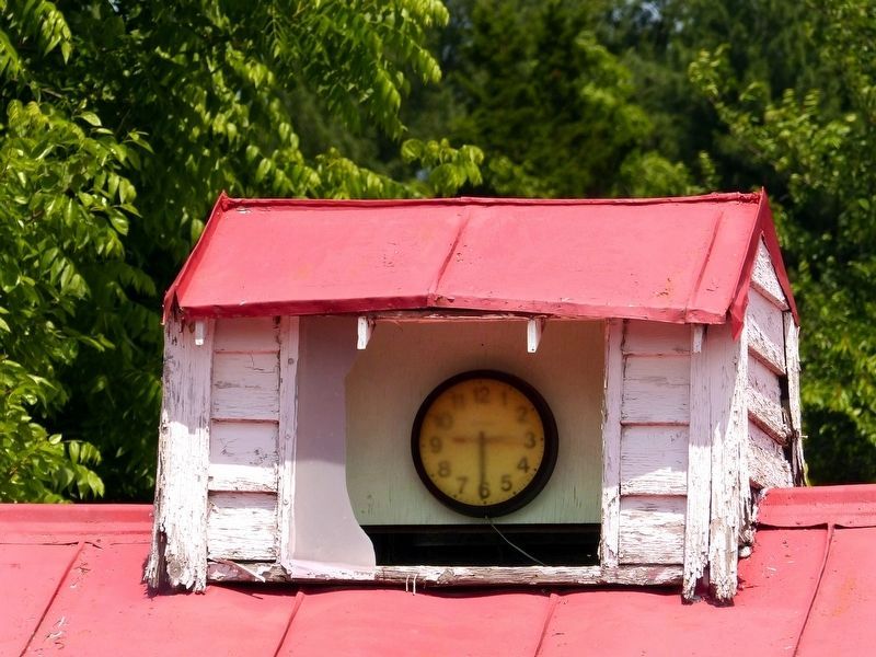
Comus near Dickerson in Montgomery County, Maryland — The American Northeast (Mid-Atlantic)
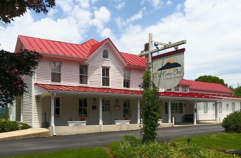
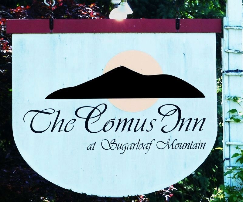
Comus Inn
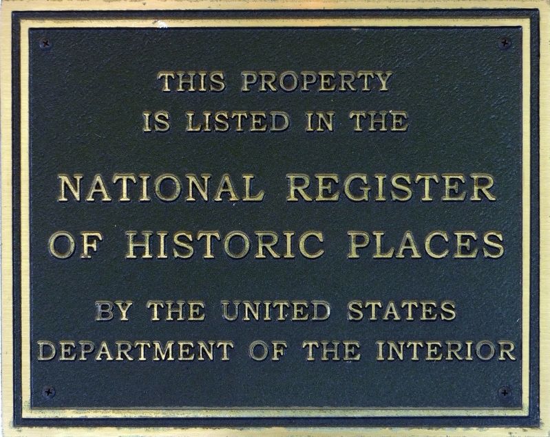
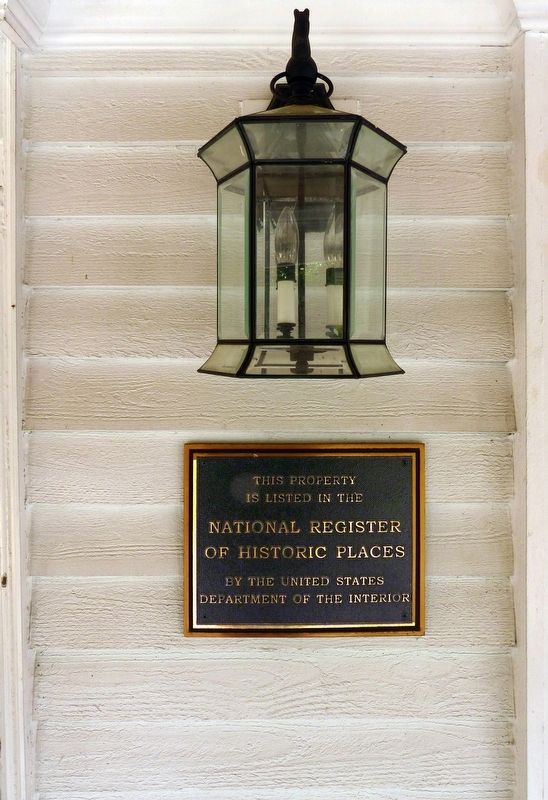
This property is listed in the
National Register of Historic Places
by the United States Department of Interior
Topics. This historical marker is listed in these topic lists: Industry & Commerce • Notable Buildings.
Location. 39° 14.846′ N, 77° 20.995′ W. Marker is near Dickerson, Maryland, in Montgomery County. It is in Comus. Marker can be reached from the intersection of Old Hundred Road (Maryland Route 109) and Comus Road, on the left when traveling north. Touch for map. Marker is at or near this postal address: 23900 Old Hundred Rd, Dickerson MD 20842, United States of America. Touch for directions.
Other nearby markers. At least 8 other markers are within 3 miles of this marker, measured as the crow flies. 1862 Antietam Campaign (about 300 feet away, measured in a direct line); Mount Ephraim Crossroads (about 300 feet away); Sugarloaf Mountain (approx. 2.3 miles away); Sugar Loaf Mountain (approx. 2.4 miles away); Barnesville (approx. 2˝ miles away); a different marker also named Barnesville (approx. 2˝ miles away); Women on the Homefront in Montgomery County (approx. 2.8 miles away); Hyattstown Mill (approx. 3 miles away). Touch for a list and map of all markers in Dickerson.
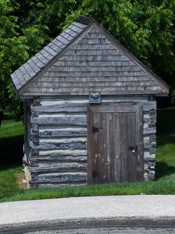
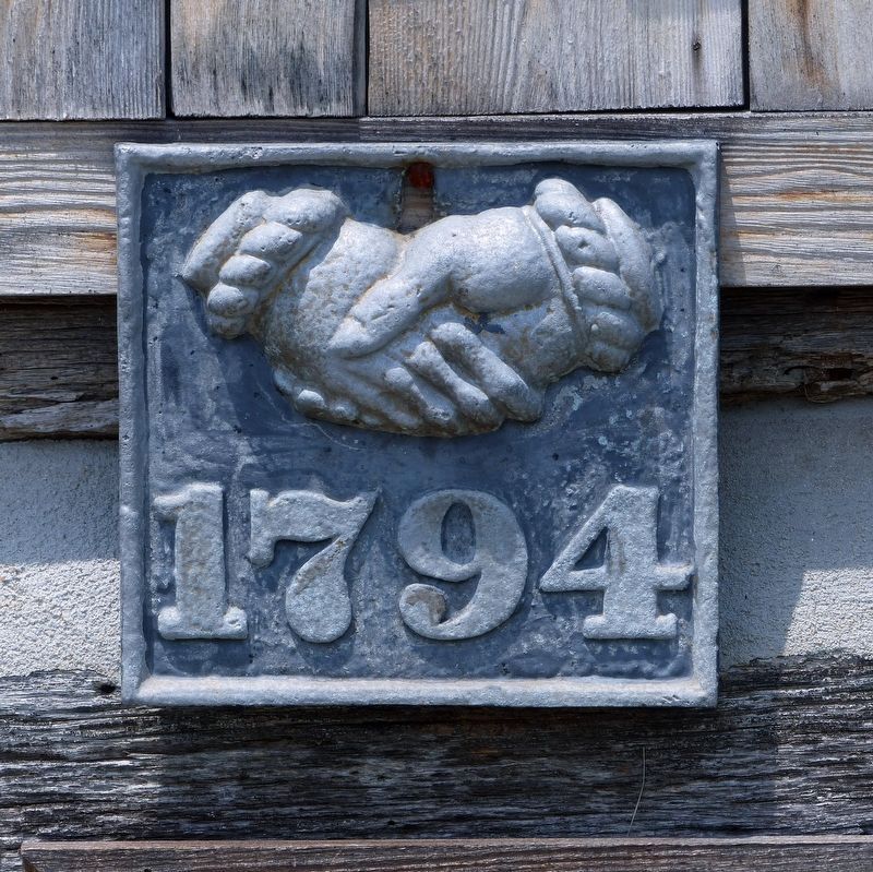
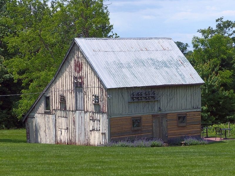
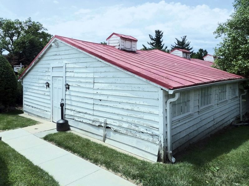
Regarding Comus Inn. “The Johnson-Wolfe Farm, commonly known as the Comus Inn, encompasses a four-building complex that occupies a 5.26-acre site located at the northwest corner of the intersection of Comus Road and Old Hundred Road (MD Rte 109), in Montgomery County, Maryland. The vernacular dwelling and assemblage of three agricultural outbuildings visually defines the crossroads community of Comus, historically known as Johnsonville. The rural crossroads village of Comus is characterized by low scale, low-density development dating from the late nineteenth and early twentieth centuries.” — National Register Form.
Also see . . . Johnson-Wolfe Farm, Comus Inn. National Register of Historic Places Registration Form (Submitted on June 6, 2018, by Allen C. Browne of Silver Spring, Maryland.)
Additional commentary.
1. AnneBelle Sole, founder of the Comus Inn
My grandmother AnnaBelle Sole founded the Comus Inn. She was an independent lady in a time when women making their own success was unusual.
— Submitted June 9, 2023, by Lee annEwing of Tampa, Florida.
Credits. This page was last revised on March 30, 2024. It was originally submitted on June 6, 2018. This page has been viewed 577 times since then and 52 times this year. Last updated on September 13, 2020, by Bradley Owen of Morgantown, West Virginia. Photos: 1, 2, 3, 4, 5, 6. submitted on June 6, 2018, by Allen C. Browne of Silver Spring, Maryland. 7, 8, 9. submitted on June 7, 2018, by Allen C. Browne of Silver Spring, Maryland. • J. Makali Bruton was the editor who published this page.
