Near Skykomish in King County, Washington — The American West (Northwest)
Snowsheds Protected the Railway
Iron Goat Trail
| — | MP 1719.53 | — |
Photographed by Cosmos Mariner, July 30, 2015
1. Snowsheds Protected the Railway Marker
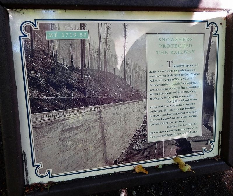
Denuded hillsides, unstable from logging and forest fires started by the coal-fired steam engines, increased the number of avalanches, often delaying the trains, sometimes for days.
During the cold, wet winters, a large work force was needed to keep the tracks open. To protect the line from these hazardous conditions, snowsheds were built. In a "combination" type snowshed, a timber roof was built to cover the tracks.
The Great Northern built 6.4 miles of snowsheds of 3 different types on the 9 miles of track between here and Wellington.
Topics. This historical marker is listed in this topic list: Railroads & Streetcars.
Location. 47° 42.968′ N, 121° 10.245′ W. Marker is near Skykomish, Washington, in King County. It can be reached from the intersection of Stevens Pass Highway (U.S. 2) and Old Cascade Highway, on the right when traveling west. Marker is located on the Iron Goat Trail, about ½ mile west of the Iron
this page online

Regionally, this marker is in the Puget Sound Region and in Greater Seattle. It is also on the American Pacific Coast, in the Pacific Northwest, and in the Lewis & Clark Corridor. Globally, it is in North America, in the Cascade Range, in the Inside Passage, on the Ring of Fire, on the Pacific Rim, in the Western Hemisphere, in the Western World, and in the Anglosphere.
Other nearby markers. At least 4 other markers are within 9 miles of this marker, measured as the crow flies: Snowsheds Needed Solid Support (approx. 0.3 miles away); A Route Still in Use (approx. half a mile away); Twin Tunnels Bored Through Granite (approx. 0.6 miles away); Early Skykomish (approx. 8.8 miles away).
Related markers. Click here for a list of markers that are related to this marker. Iron Goat Trail
Also see . . . Stevens Pass Historic District (Wikipedia). The snow sheds were combination structures of wood and concrete. Reinforced concrete was used for the
Photographed by Cosmos Mariner, July 30, 2015
2. Snowsheds Protected the Railway Marker
Photographed by Cosmos Mariner, July 30, 2015
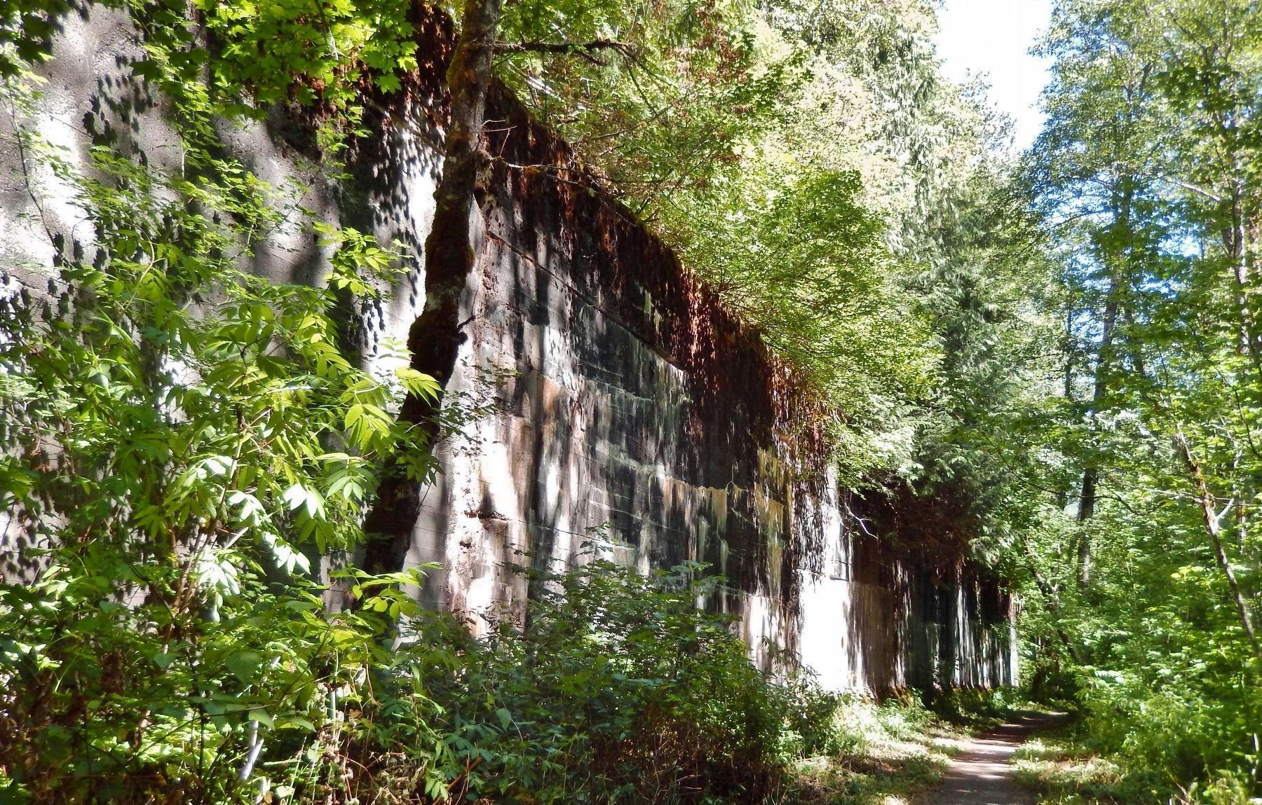
3. Concrete Snowshed Wall Ruins (beside Iron Goat Trail)
Credits. This page was last revised on September 17, 2020. It was originally submitted on September 14, 2020, by Cosmos Mariner of Cape Canaveral, Florida. This page has been viewed 332 times since then and 22 times this year. Photos: 1, 2, 3. submitted on September 16, 2020, by Cosmos Mariner of Cape Canaveral, Florida.
