Near Del Rio in Val Verde County, Texas — The American South (West South Central)
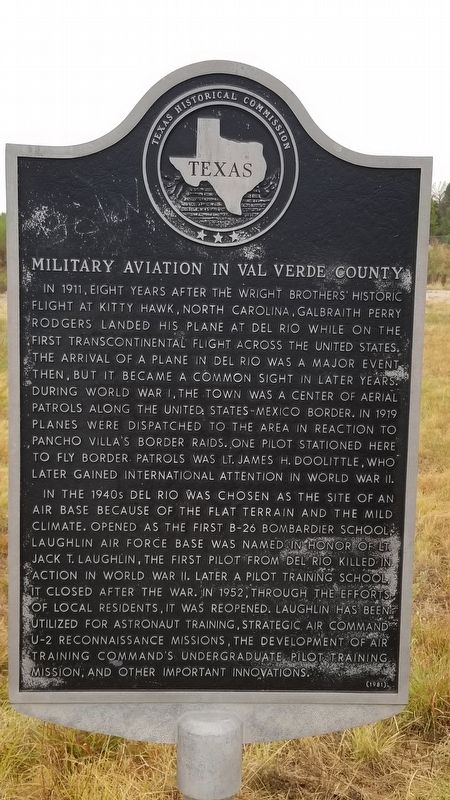
Military Aviation in Val Verde County
In 1911, eight years after the Wright Brothers' historic flight at Kitty Hawk, North Carolina, Galbraith Perry Rodgers landed his plane at Del Rio while on the first transcontinental flight across the United State. The arrival of a plane in Del Rio was a major event then, but it became a common sight in later years. During World War I, the town was a center of aerial patrols along the United State-Mexico Border. In 1919 planes were dispatched to the area in reaction to Pancho Villa's border raids. One pilot stationed here to fly border patrols was Lt. James H. Doolittle, who later gained international attention in World War II.
In the 1940s Del Rio was chosen as the site of an Air Base because of the flat terrain and the mild climate. Opened as the first B-26 bombardier school, Laughlin Air Force Base was named in honor of Lt. Jack T. Laughlin, the first pilot from Del Rio killed in action in World War II. Later a pilot training school, it closed after the war. In 1952, through the efforts of local residents, it was reopened. Laughlin has been utilized for Astronaut Training, Strategic Air Command U-2 reconnaissance missions, the development of Air Training Command's undergraduate pilot training mission, and other important innovations.
Erected 1981 by Texas Historical Commission . (Marker Number 3372.)
Topics. This historical marker is listed in these topic lists: Air & Space • War, World I • War, World II. A significant historical year for this entry is 1911.
Location. 29° 22.069′ N, 100° 47.928′ W. Marker is near Del Rio, Texas, in Val Verde County. Marker is at the intersection of U.S. 90 and Liberty Drive, on the left when traveling west on U.S. 90. Touch for map. Marker is in this post office area: Del Rio TX 78840, United States of America. Touch for directions.
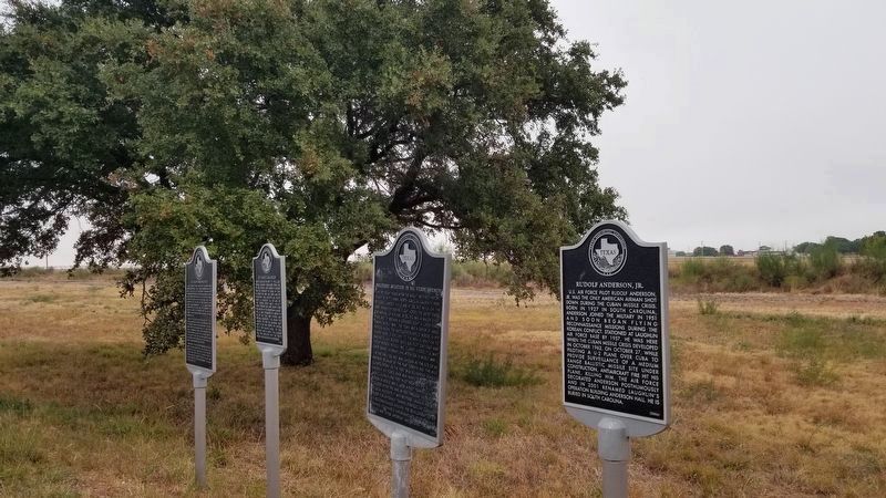
Other nearby markers. At least 8 other markers are within 6 miles of this marker, measured as the crow flies. Rudolf Anderson, Jr. (here, next to this marker); Lt. Jack T. Laughlin (here, next to this marker); Laughlin Army Air Field (here, next to this marker); San Felipe Independent School District (approx. 5.1 miles away); San Felipe High School (approx. 5.1 miles away); San Felipe Springs (approx. 5.1 miles away); U.S. Army Camel Corps (approx. 5.1 miles away); Val Verde County (approx. 5.2 miles away). Touch for a list and map of all markers in Del Rio.
Also see . . . Laughlin Air Force Base. Wikipedia entry (Submitted on April 11, 2023, by Larry Gertner of New York, New York.)
Credits. This page was last revised on April 11, 2023. It was originally submitted on September 14, 2020, by James Hulse of Medina, Texas. This page has been viewed 207 times since then and 31 times this year. Photos: 1, 2. submitted on September 14, 2020, by James Hulse of Medina, Texas. • J. Makali Bruton was the editor who published this page.

