Chartiers Township near Washington in Washington County, Pennsylvania — The American Northeast (Mid-Atlantic)
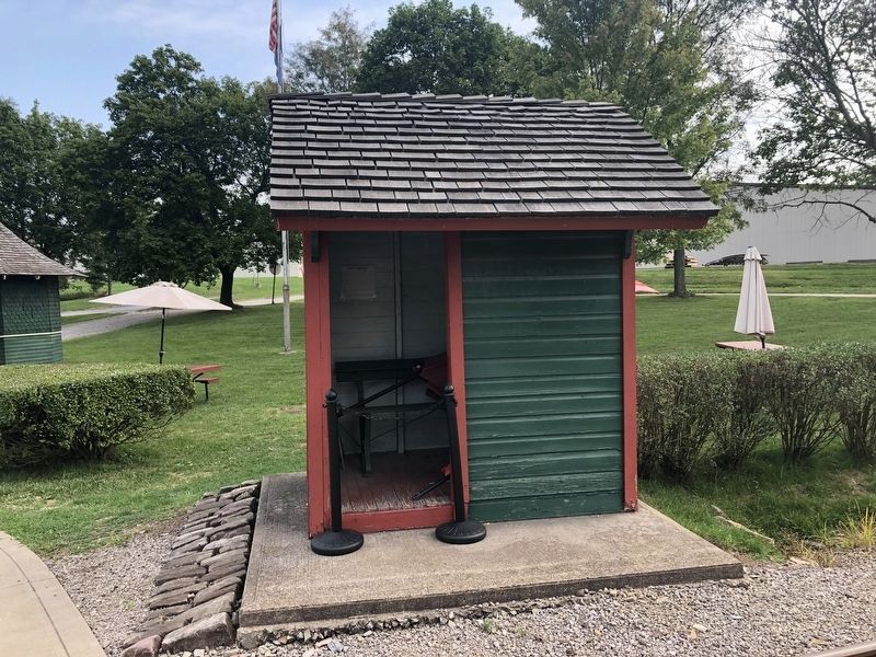
West Shelter
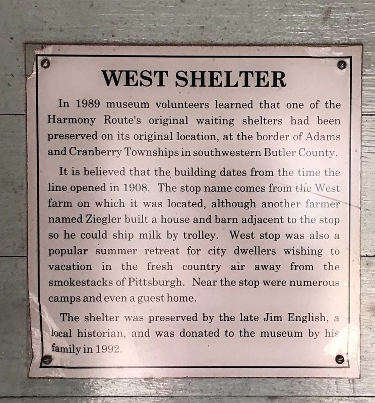
In 1989 museum volunteers learned that one of the Harmony Route's original waiting shelters had been preserved on its original location, at the border of Adams and Cranberry Townships in southwestern Butler County.
It is believed that the building dates from the time the line opened in 1908. The stop name comes from the West farm on which it was located, although another farmer named Ziegler built a house and barn adjacent to the stop so he could ship milk by trolley. West stop was also a popular summer retreat for city dwellers wishing to vacation in the fresh country air away from the smokestacks of Pittsburgh. Near the stop were numerous camps and even a guest home.
The shelter was preserved by the late Jim English, a local historian, and was donated to the museum by his family in 1992.
Erected by Pennsylvania Trolley Museum.
Topics. This historical marker is listed in this topic list: Railroads & Streetcars. A significant historical year for this entry is 1908.
Location. 40° 12.416′ N, 80° 15.288′ W. Marker is near Washington, Pennsylvania, in Washington County. It is in Chartiers Township. Marker is on Museum Road, 0.1 miles south of North Main Street, on the right when traveling south. Touch for map. Marker is at or near this postal address: 26 Museum Rd, Washington PA 15301, United States of America. Touch for directions.
Other nearby markers. At least 8 other markers are within 3 miles of this marker, measured as the crow flies. Richfol Shelter (a few steps from this marker); A Revolutionary War Soldier (approx. half a mile away); Korea (approx. 1.8 miles away); Community Honor Roll (approx. 1.8 miles away); Vietnam (approx. 1.8 miles away); Washington (approx. 2.1 miles away); Revolutionary War Soldiers (approx. 2.3 miles away); Washington County Veterans Memorial (approx. 2.4 miles away). Touch for a list and map of all markers in Washington.

Photographed By Devry Becker Jones (CC0), September 12, 2020
2. West Shelter
The marker can be seen inside the shelter.
Credits. This page was last revised on February 7, 2023. It was originally submitted on September 15, 2020, by Devry Becker Jones of Washington, District of Columbia. This page has been viewed 116 times since then and 5 times this year. Photos: 1, 2. submitted on September 15, 2020, by Devry Becker Jones of Washington, District of Columbia.
