Kingwood in Preston County, West Virginia — The American South (Appalachia)
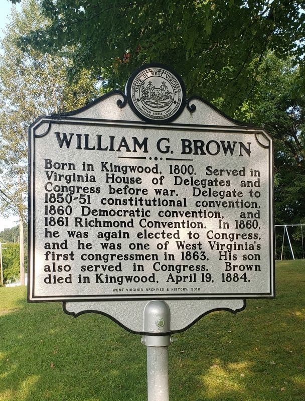
William G. Brown
Erected 2016 by West Virginia Archives and History.
Topics and series. This historical marker is listed in these topic lists: Government & Politics • War, US Civil. In addition, it is included in the West Virginia Archives and History series list. A significant historical year for this entry is 1800.
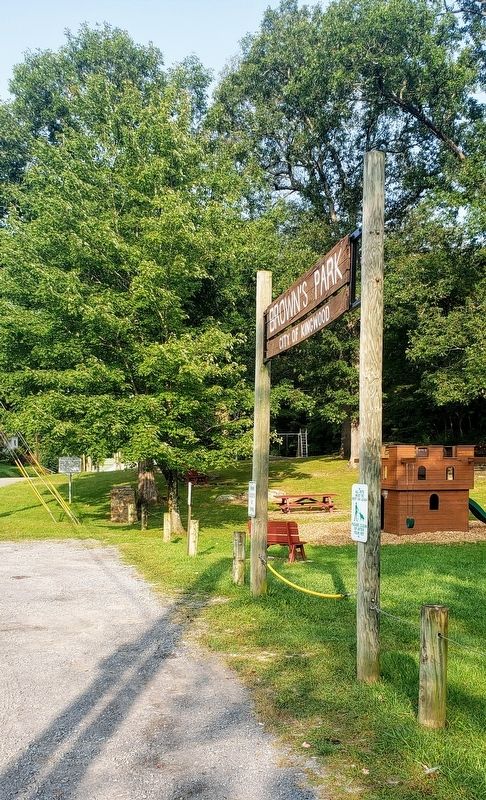
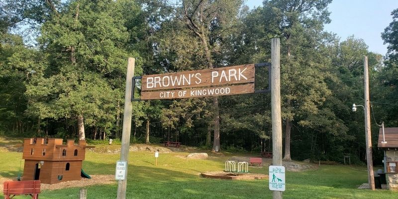
Location. 39° 28.498′ N, 79° 41.831′ W. Marker is in Kingwood, West Virginia, in Preston County. Marker is at the intersection of Morgantown Street (West Virginia Route 7) and Sisler Street, on the right when traveling west on Morgantown Street. Marker is near the entrance to Brown’s Park. Touch for map. Marker is at or near this postal address: 327 Morgantown St, Kingwood WV 26537, United States of America. Touch for directions.
Other nearby markers. At least 8 other markers are within walking distance of this marker. The Preston County Bell (approx. half a mile away); Operation Desert Shield / Operation Desert Storm (approx. half a mile away); Kingwood (approx. half a mile away); Vietnam Veterans Memorial (approx. 0.6 miles away); Preston County Buckwheat Festival (approx. 0.6 miles away); Preston County Courthouse (approx. 0.6 miles away); Preston County Civil War Monument (approx. 0.6 miles away); Veterans Memorial (approx. 0.6 miles away). Touch for a list and map of all markers in Kingwood.
Credits. This page was last revised on September 16, 2020. It was originally submitted on September 16, 2020, by Bradley Owen of Morgantown, West Virginia. This page has been viewed 207 times since then and 32 times this year. Last updated on September 16, 2020, by Bradley Owen of Morgantown, West Virginia. Photos: 1, 2, 3. submitted on September 16, 2020, by Bradley Owen of Morgantown, West Virginia. • Devry Becker Jones was the editor who published this page.


