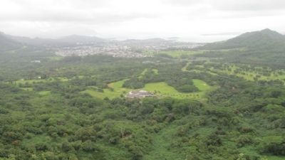
Honolulu in Honolulu County, Hawaii — Hawaiian Island Archipelago (Pacific Ocean)
Nuuanu Pali Lookout
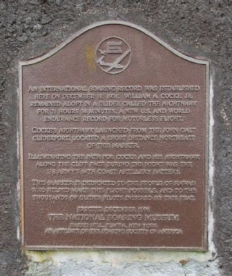
National Landmark of Soaring
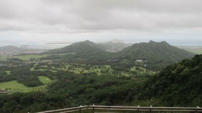
Cocke’s Nighthawk launched from the John Galt Gliderport, located a short distance northeast of the marker.
Illuminating the path for Cocke and his Nighthawk along the cliff face during the night was the U.S. Army’s 64th Coast Artillery Battery.
This marker is dedicated to the people of Hawaii who helped make this flight possible and to the thousands of glider pilots inspired by this feat.
Erected 1996 by The National Soaring Museum, Harris Hills, Elmira, New York, an Affiliate of the Soaring Society of America.
Topics. This historical marker is listed in this topic list: Air & Space. A significant historical year for this entry is 1931.
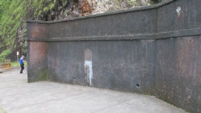
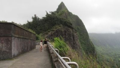
Location. 21° 22.027′ N, 157° 47.579′ W. Marker is in Honolulu, Hawaii, in Honolulu County. Marker is on Nuuanu Pali Drive north of Pali Highway (Hawaii Route 61), on the right when traveling north. Located at Nu’uanu Pali State Wayside Park. Touch for map. Marker is in this post office area: Honolulu HI 96815, United States of America. Touch for directions.
Other nearby markers. At least 8 other markers are within 6 miles of this marker, measured as the crow flies. Pali Road – From Trail to Highway (a few steps from this marker); Battle of Nu’uanu – Uniting the Islands (a few steps from this marker); Pali Road (within shouting distance of this marker); The Honolulu Memorial at the National Memorial Cemetery of the Pacific (approx. 5.1 miles away); He Ho‘Omana‘o (approx. 5.3 miles away); Pohakuloa Amtrac Memorial (approx. 5.4 miles away); Father Damien (approx. 5.8 miles away); Iolani Palace (approx. 6 miles away). Touch for a list and map of all markers in Honolulu.
Credits. This page was last revised on April 19, 2024. It was originally submitted on May 9, 2014. This page has been viewed 589 times since then and 37 times this year. Last updated on September 18, 2020, by Craig Baker of Sylmar, California. Photos: 1, 2, 3, 4, 5. submitted on May 9, 2014, by Denise Boose of Tehachapi, California. • J. Makali Bruton was the editor who published this page.
