Near Oakland in Garrett County, Maryland — The American Northeast (Mid-Atlantic)
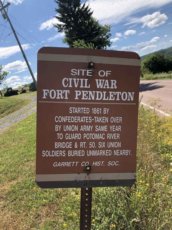
Site of Civil War Fort Pendleton
Erected by Garrett County Historical Society.
Topics. This historical marker is listed in these topic lists: Forts and Castles • War, US Civil. A significant historical year for this entry is 1861.
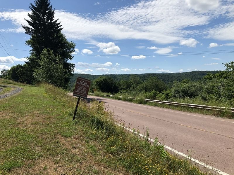
Location. 39° 17.532′ N, 79° 21.291′ W. Marker is near Oakland, Maryland, in Garrett County. Marker is on George Washington Highway (U.S. 50) 0.6 miles west of Winston Road, on the left when traveling east. Touch for map. Marker is at or near this postal address: 8505 George Washington Hwy, Oakland MD 21550, United States of America. Touch for directions.
Other nearby markers. At least 8 other markers are within 7 miles of this marker, measured as the crow flies. Grant County / State of Maryland (approx. half a mile away in West Virginia); Highest Point on the Maryland State Roads System (approx. 3.3 miles away); Fort Ogden (approx. 3.4 miles away in West Virginia); By King’s Command (approx. 3.4 miles away in West Virginia); St. John's Evangelical Lutheran Church of Red House, Maryland (approx. 5.4 miles away); Honor Roll (approx. 6.2 miles away in West Virginia); "McCulloch’s Path" (approx. 6.2 miles away); In Honor (approx. 6.3 miles away in West Virginia). Touch for a list and map of all markers in Oakland.
Credits. This page was last revised on September 19, 2020. It was originally submitted on July 13, 2020, by Devry Becker Jones of Washington, District of Columbia. This page has been viewed 609 times since then and 64 times this year. Last updated on September 18, 2020, by Bradley Owen of Morgantown, West Virginia. Photos: 1, 2. submitted on July 13, 2020, by Devry Becker Jones of Washington, District of Columbia.

