Ticonderoga in Essex County, New York — The American Northeast (Mid-Atlantic)
Lakes to Locks Passage
The Great Northeast Journey
— Lake Champlain Region —
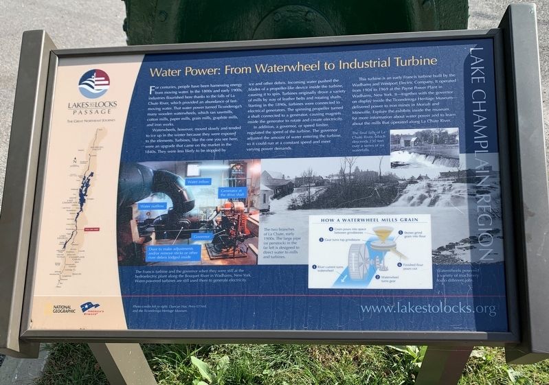
Water Power: From Waterwheel to Industrial Turbine
For centuries, people have been harnessing energy from moving water. In the 1800s and early 1900s, industries flourished here thanks to the falls of La Chute River, which provided an abundance of fast-moving water. That water power turned Ticonderoga's many wooden waterwheels, which ran sawmills, cotton mills, paper mills, grain mills, graphite mills, and iron works.
Waterwheels, however, moved slowly and tended to ice up in the winter because they were exposed to the elements. Turbines, like the one you see here, were an upgrade that came on the market in the 1840s. They were less likely to be stopped by ice and other debris. Incoming water pushed the blades of a propeller-like device inside the turbine, causing it to spin. Turbines originally drove a variety of mills by way of leather belts and rotating shafts. Starting in the 1890s, turbines were connected to electrical generators. The spinning propeller turned a shaft connected to a generator, causing magnets inside the generator to rotate and create electricity.
In addition, a governor, or speed limiter, regulated the speed of the turbine, The governor adjusted the amount of water entering the turbine, so it could run at a constant speed and meet varying power demands.
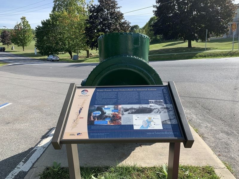
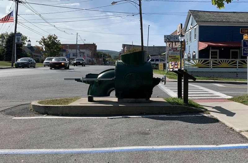
This turbine is an early Francis turbine built by the Wadhams and Westport Electric Company. It operated from 1904 to 1969 at the Payne Power Plant in Wadhams, New York. It - together with the governor on display inside the Ticonderoga Heritage Museum - delivered power to iron mines in Moriah and Mineville. Explore the exhibits inside the museum for more information about water power and to learn about the mills that operated along La Chute River.
Photo and Illustration Captions:
The Francis turbine and the governor when they were still at the hydroelectric plant along the Bouquet River in Wadhams, New York. Water-powered turbines are still used there to generate electricity.
The two branches of La Chute, early 1900s. The large pipe (or penstock) in the far left is designed to direct water to mills and turbines.
The final falls of La Chute River, which descends 230 feet over a series of six waterfalls.
How a waterwheel mills grain
1 River current turns waterwheel
2 Waterwheel turns gear
3 Gear turns top grindstone
4 Grain pours into space between grindstones
5 Stones grind grain into flour
6 Finished flour pours out
Waterwheels powered a variety of machinery to do different jobs.
Photo credits left to right: Duncan Hay, Perry O’Neil, and the Ticonderoga Heritage Museum.
www.lakestolocks.org
Erected by National Geographic, America’s Byways.
Topics. This historical marker is listed in these topic lists: Industry & Commerce • Waterways & Vessels. A significant historical year for this entry is 1904.
Location. 43° 50.925′ N, 73° 25.289′ W. Marker is in Ticonderoga, New York, in Essex County. Marker is at the intersection of Montcalm Street and Tower Avenue, on the right when traveling west on Montcalm Street. Touch for map. Marker is in this post office area: Ticonderoga NY 12883, United States of America. Touch for directions.
Other nearby markers. At least 8 other markers are within walking distance of this marker. A different marker also named Lakes to Locks Passage (here, next to this marker); Grand Carry Landing (within shouting distance of this marker); Tower Avenue Grindstones (within shouting distance of this marker); Rivière de La Chute (about 300 feet away, measured in a direct line); Hon. Clayton Harris DeLano (about 300 feet away); Sharing the Flow (about 500 feet away); Crossroads of a Community (about 600 feet away); The Power of Water (about 700 feet away). Touch for a list and map of all markers in Ticonderoga.
Also see . . . Lakes to Locks Passage. Website homepage (Submitted on September 18, 2020, by Steve Stoessel of Niskayuna, New York.)
Credits. This page was last revised on June 28, 2021. It was originally submitted on September 18, 2020, by Steve Stoessel of Niskayuna, New York. This page has been viewed 182 times since then and 25 times this year. Photos: 1, 2, 3. submitted on September 18, 2020, by Steve Stoessel of Niskayuna, New York. • Bill Pfingsten was the editor who published this page.


