Bessemer City in Gaston County, North Carolina — The American South (South Atlantic)
Tryon County
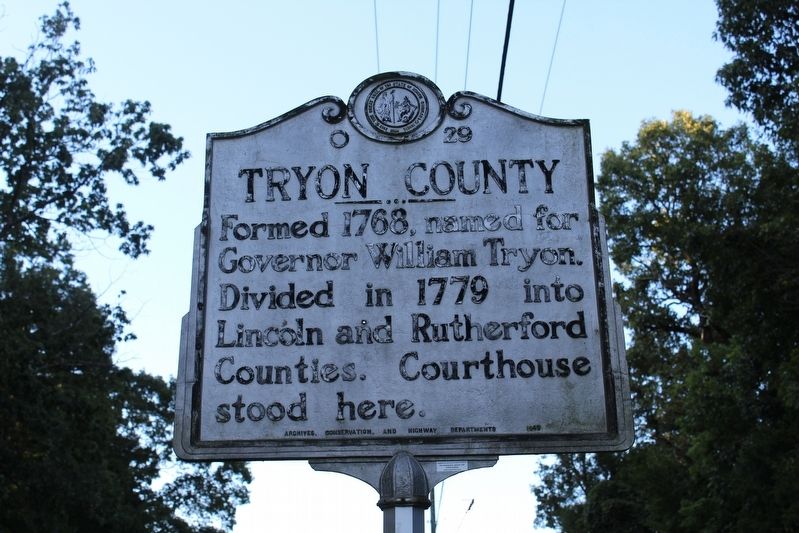
Photographed by Tom Bosse, September 6, 2020
1. Tryon County Marker
Erected 1949 by North Carolina Archives, Conservation, and Highway Departments. (Marker Number O-29.)
Topics and series. This historical marker is listed in this topic list: Political Subdivisions. In addition, it is included in the North Carolina Division of Archives and History series list. A significant historical year for this entry is 1768.
Location. 35° 20.295′ N, 81° 19.31′ W. Marker is in Bessemer City, North Carolina, in Gaston County. It is on Tryon Courthouse Road (State Highway 274) 0.1 miles south of Tryon School Road, on the left when traveling north. Marker located near the Tryonota Volunteer Fire Department. Touch for map. Marker is at or near this postal address: 2577 Tryon Courthouse Rd, Bessemer City NC 28016, United States of America. Touch for directions.

Regionally, this marker is in the Piedmont and in Greater Charlotte. It is also in the American South and specifically in the Upper South. Globally, it is in North America, the Western Hemisphere, the Western World,
this page online
Other nearby markers. At least 8 other markers are within 5 miles of this marker, measured as the crow flies: Home of Christian Mauney (here, next to this marker); Smoke House (approx. 4.2 miles away); City Jail (approx. 4.2 miles away); Orignal City Hall (approx. 4.2 miles away); Federal Bonded Liquor Warehouse (approx. 4.2 miles away); John F Black School House (approx. 4.2 miles away); Harrelson Company Building (approx. 4.3 miles away); Cherryville Drug Company (approx. 4.3 miles away).
Also see . . . William Tryon. (Submitted on September 19, 2020, by Tom Bosse of Jefferson City, Tennessee.)

Photographed by Tom Bosse, September 6, 2020
2. Tryon County Marker
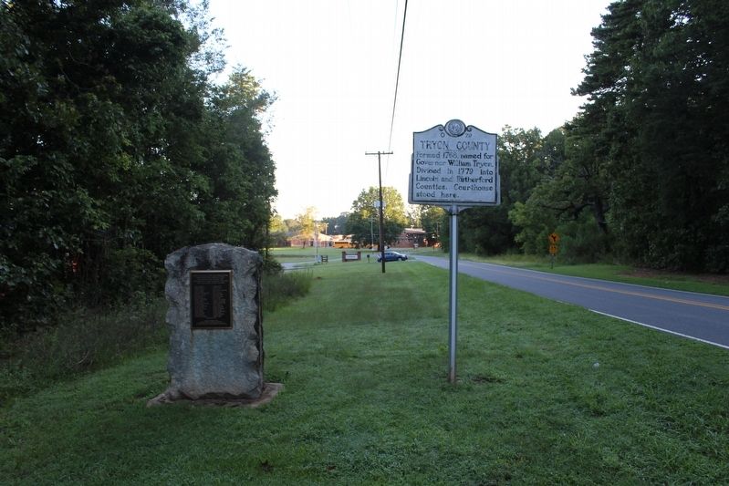
Photographed by Tom Bosse, September 6, 2020
3. Tryon County Marker
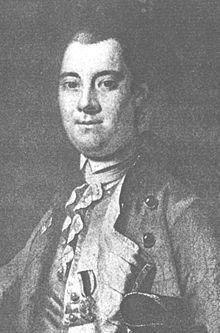
4. Governor William Tryon
Credits. This page was last revised on September 21, 2020. It was originally submitted on September 19, 2020, by Tom Bosse of Jefferson City, Tennessee. This page has been viewed 430 times since then and 37 times this year. Photos: 1, 2, 3, 4. submitted on September 19, 2020, by Tom Bosse of Jefferson City, Tennessee. • Bernard Fisher was the editor who published this page.
