Land Building
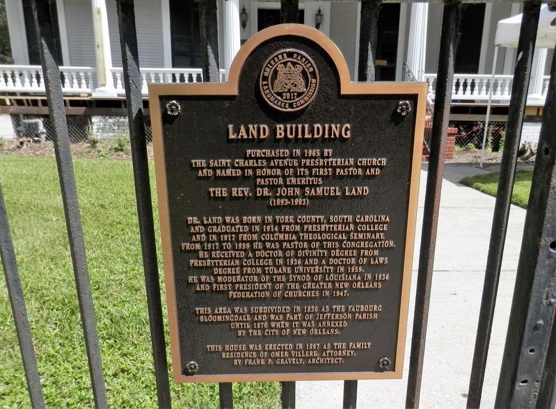
Purchased in 1965 by
The Saint Charles Avenue Presbyterian Church
And named in honor of its first pastor and
Pastor Emeritus
The Rev. Dr. John Samuel Land
(1893-1993)
Dr. Land was born in York County, South Carolina and graduated in 1914 from Presbyterian College and in 1917 from Columbia Theological Seminary. From 1917 to 1959 he was pastor of this congregation. He received a Doctor of Divinity degree from Presbyterian College in 1936 and a Doctor of Laws degree from Tulane University in 1959. He was moderator of the Synod of Louisiana in 1936 and first president of the Greater New Orleans Federation of Churches in 1947.
This area was subdivided in 1836 as the Faubourg Bloomingdale and was part of Jefferson Parish until 1870 when it was annexed by the City of New Orleans.
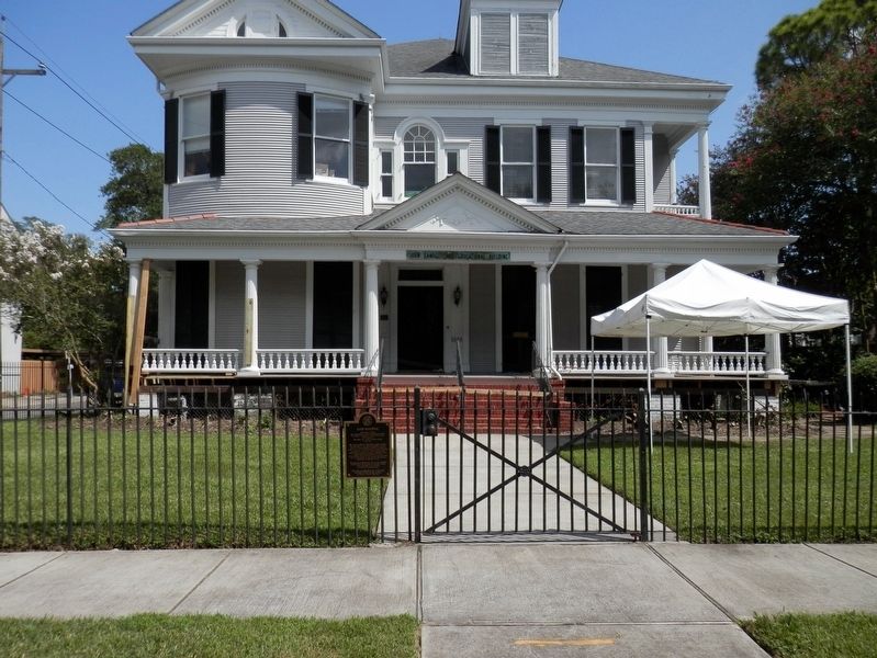
This house was erected in 1897 as the family residence of the Omer Villere, Attorney, by Frank P. Gravely, Architect.
Erected 2017 by Orleans Parish Landmarks Commission.
Topics. This historical marker is listed in these topic lists: Churches & Religion • Settlements & Settlers.
Location. 29° 55.799′ N, 90° 7.104′ W. Marker is in New Orleans, Louisiana, in Orleans Parish. It is in Audubon. Marker
Other nearby markers. At least 8 other markers are within walking distance of this marker. St. Charles Avenue Presbyterian Church (about 300 feet away, measured in a direct line); Judge John Howard Ferguson House (approx. 0.2 miles away); Miss Susie Ellermann's House (approx. 0.3 miles away); Gilbert Academy and New Orleans University (approx. 0.4 miles away); DeDroit Residence (approx. 0.6 miles away); Jefferson City (approx. 0.7 miles away); Classic Designs (approx. 0.7 miles away); Audubon Park History (approx. 0.7 miles away). Touch for a list and map of all markers in New Orleans.
Credits. This page was last revised on February 12, 2023. It was originally submitted on September 19, 2020, by Cajun Scrambler of Assumption, Louisiana. This page has been viewed 154 times since then and 17 times this year. Photos: 1, 2. submitted on September 19, 2020, by Cajun Scrambler of Assumption, Louisiana.

