Waverly in Humphreys County, Tennessee — The American South (East South Central)
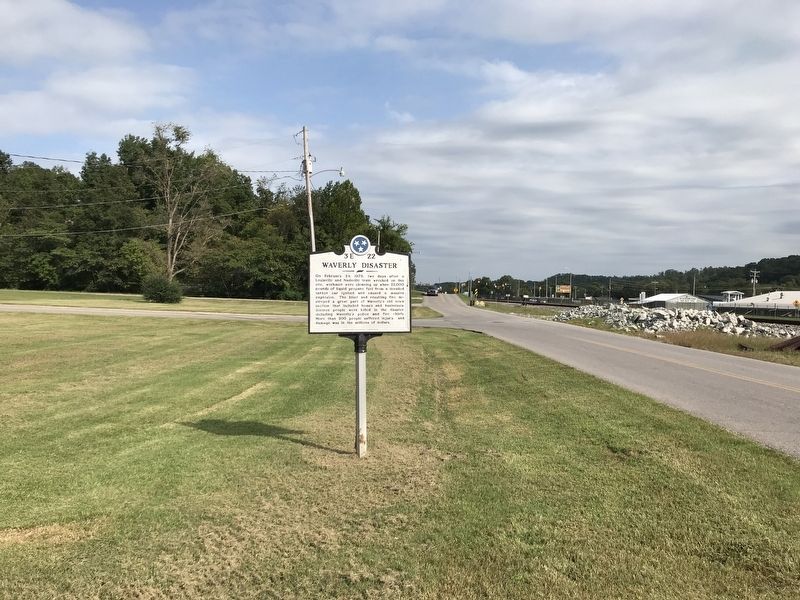
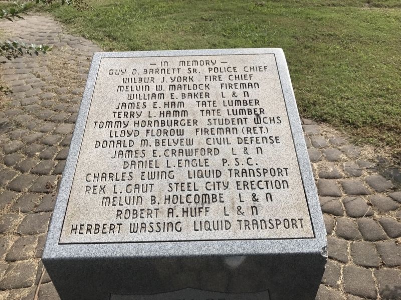
Waverly Disaster
Erected by Tennessee Historical Commission. (Marker Number 3E 22.)
Topics and series. This historical marker is listed in these topic lists: Disasters • Railroads & Streetcars. In addition, it is included in the Tennessee Historical Commission series list. A significant historical date for this entry is February 24, 1978.
Location. 36° 5.235′ N, 87° 47.523′ W. Marker is in Waverly, Tennessee, in Humphreys County. Marker is on East Railroad Street just west of Richland Avenue, on the right when traveling west. Touch for map. Marker is at or near this postal address: 107 Richland Ave, Waverly TN 37185, United States of America. Touch for directions.
Other nearby markers. At least 8 other markers are within walking distance of this marker. A different marker also named Waverly Disaster (a few steps from this marker); Hotel Dixieland (approx. 0.2 miles away); McAdoo House (approx. ¼ mile away); a different marker also named The McAdoo House (approx. ¼ mile away); Porch-Reed School (approx. ¼ mile away); Reynoldsburg (approx. 0.3 miles away); Court House Bell (approx. 0.3 miles away); Humphreys County War Memorial (approx. 0.3 miles away). Touch for a list and map of all markers in Waverly.
Also see . . . Waverly, Tennessee tank car explosion (Wikipedia). (Submitted on September 21, 2020, by Duane and Tracy Marsteller of Murfreesboro, Tennessee.)
Credits. This page was last revised on September 21, 2020. It was originally submitted on September 21, 2020, by Duane and Tracy Marsteller of Murfreesboro, Tennessee. This page has been viewed 456 times since then and 35 times this year. Photos: 1, 2, 3. submitted on September 21, 2020, by Duane and Tracy Marsteller of Murfreesboro, Tennessee. • Devry Becker Jones was the editor who published this page.


