Clarksburg in Carroll County, Tennessee — The American South (East South Central)
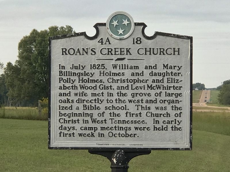
Roan's Creek Church
Erected by Tennessee Historical Commission. (Marker Number 4A 18.)
Topics and series. This historical marker is listed in this topic list: Churches & Religion. In addition, it is included in the Tennessee Historical Commission series list. A significant historical month for this entry is July 1825.
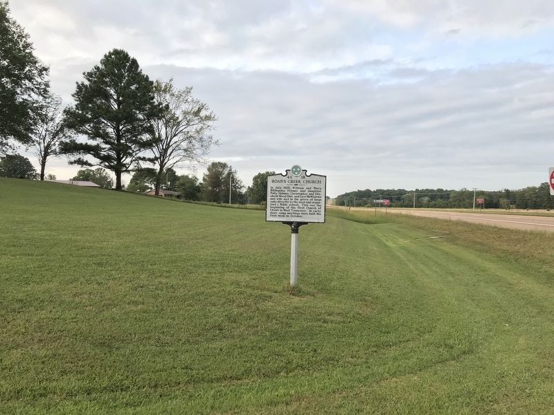
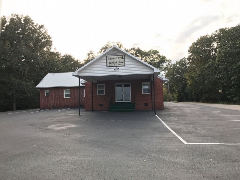
Location. 35° 50.622′ N, 88° 23.426′ W. Marker is in Clarksburg, Tennessee, in Carroll County. Marker is at the intersection of State Highway 22 and Roan Creek Church Road, on the right when traveling south on State Highway 22. Touch for map. Marker is at or near this postal address: 7 Roan Creek Church Rd, Yuma TN 38390, United States of America. Touch for directions.
Other nearby markers. At least 8 other markers are within 4 miles of this marker, measured as the crow flies. Clarksburg (approx. 1.8 miles away); Pleasant Exchange (approx. 2.6 miles away); The Battle of Parker's Crossroads (approx. 2.6 miles away); Parker's Crossroads City Park (approx. 3.2 miles away); Parker's Crossroads (approx. 3.2 miles away); a different marker also named The Battle of Parker's Crossroads (approx. 3.2 miles away); Freeman's Battery (approx. 3.2 miles away); a different marker also named The Battle of Parker's Crossroads (approx. 3.2 miles away).
Also see . . . Roan's Creek Church of Christ. From City of Clarksburg, Tennessee website. (Submitted on September 21, 2020, by Duane and Tracy Marsteller of Murfreesboro, Tennessee.)
Credits. This page was last revised on September 21, 2020. It was originally submitted on September 21, 2020, by Duane and Tracy Marsteller of Murfreesboro, Tennessee. This page has been viewed 256 times since then and 35 times this year. Photos: 1, 2, 3. submitted on September 21, 2020, by Duane and Tracy Marsteller of Murfreesboro, Tennessee. • Devry Becker Jones was the editor who published this page.


