Tinbridge Hill in Lynchburg, Virginia — The American South (Mid-Atlantic)
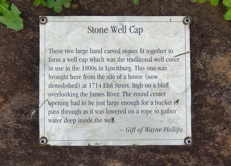
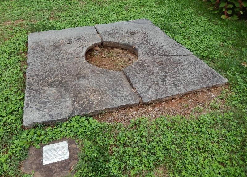
Stone Well Cap
—Gift of Wayne Phillips
Topics. This historical marker is listed in this topic list: Man-Made Features.
Location. 37° 24.832′ N, 79° 9.416′ W. Marker is in Lynchburg, Virginia. It is in Tinbridge Hill. Marker can be reached from the intersection of Wise Street and 4th Street when traveling north. Marker is located within the Old City Cemetery grounds, near the Chapel & Columbarium. Touch for map. Marker is at or near this postal address: 401 Taylor Street, Lynchburg VA 24501, United States of America. Touch for directions.
Other nearby markers. At least 8 other markers are within walking distance of this marker. Iron Fencing (a few steps from this marker); Marble Column (a few steps from this marker); Stone Watering Trough (within shouting distance of this marker); The Quartermaster's Glanders Stable (within shouting distance of this marker); Glanders (within shouting distance of this marker); Site of Lynchburg's Pest House (within shouting distance of this marker); Site of Glanders Stable (within shouting distance of this marker); Ivy Chapel Union Church (within shouting distance of this marker). Touch for a list and map of all markers in Lynchburg.
Credits. This page was last revised on February 1, 2023. It was originally submitted on September 21, 2020, by Cosmos Mariner of Cape Canaveral, Florida. This page has been viewed 193 times since then and 21 times this year. Photos: 1, 2. submitted on September 23, 2020, by Cosmos Mariner of Cape Canaveral, Florida.

