Rock Springs in Sweetwater County, Wyoming — The American West (Mountains)
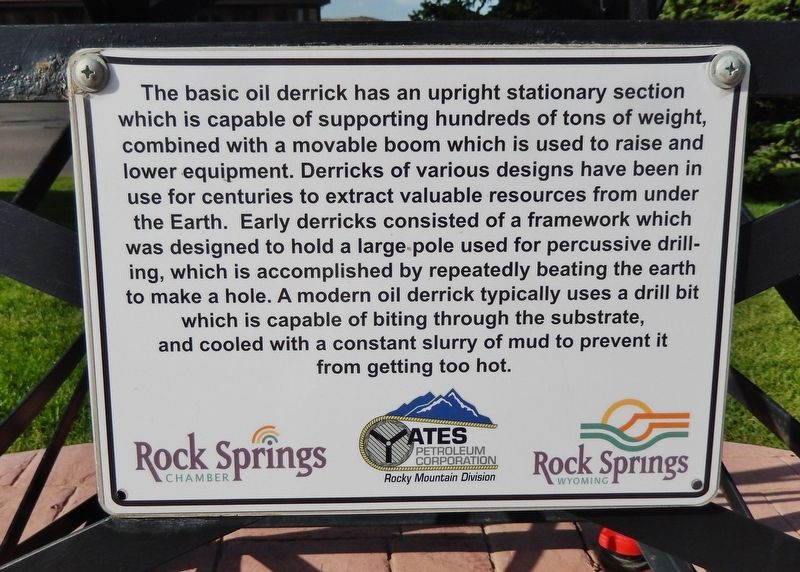
Oil Derrick
Erected by Rock Springs Chamber of Commerce and Yates Petroleum Corporation, Rocky Mountain Division.
Topics. This historical marker is listed in this topic list: Industry & Commerce.
Location. 41° 34.508′ N, 109° 14.908′ W. Marker is in Rock Springs, Wyoming, in Sweetwater County. Marker is on Dewar Drive (Business Interstate 80) just west of Winston Drive, on the right when traveling east. Marker is located beside the sidewalk, just east of the Rock Springs Chamber of Commerce. Touch for map. Marker is at or near this postal address: 1897 Dewar Drive, Rock Springs WY 82901, United States of America. Touch for directions.
Other nearby markers. At least 8 other markers are within 7 miles of this marker, measured as the crow flies. Rock Springs Coal Welcome Sign (approx. 1.6 miles away); Beneath This Monument (approx. 1.6 miles away); A Tragedy Remembered (approx. 1.6 miles away); "Charlie Smith" (approx. 1.7 miles away); Rock Springs Coal (approx. 1.7 miles away); Rock Spring Stage Station Site (approx. 2.2 miles away); Tipples and the Reliance Coal Mines (approx. 7 miles away); The Reliance Tipple (approx. 7 miles away). Touch for a list and map of all markers in Rock Springs.
Also see . . . Drilling Rig (Wikipedia). The technique of oil drilling through percussion or rotary drilling has its origins dating back to the ancient Chinese Han Dynasty in 100 BC, where percussion drilling was used to extract natural gas in the Sichuan province. A modernized variant of the ancient Chinese drilling technique was used by American businessman Edwin Drake to drill Pennsylvania's first oil well in 1859. (Submitted on September 23, 2020, by Cosmos Mariner of Cape Canaveral, Florida.)
Credits. This page was last revised on September 23, 2020. It was originally submitted on September 21, 2020, by Cosmos Mariner of Cape Canaveral, Florida. This page has been viewed 201 times since then and 12 times this year. Photos: 1, 2. submitted on September 23, 2020, by Cosmos Mariner of Cape Canaveral, Florida.

