Tremont in Cleveland in Cuyahoga County, Ohio — The American Midwest (Great Lakes)
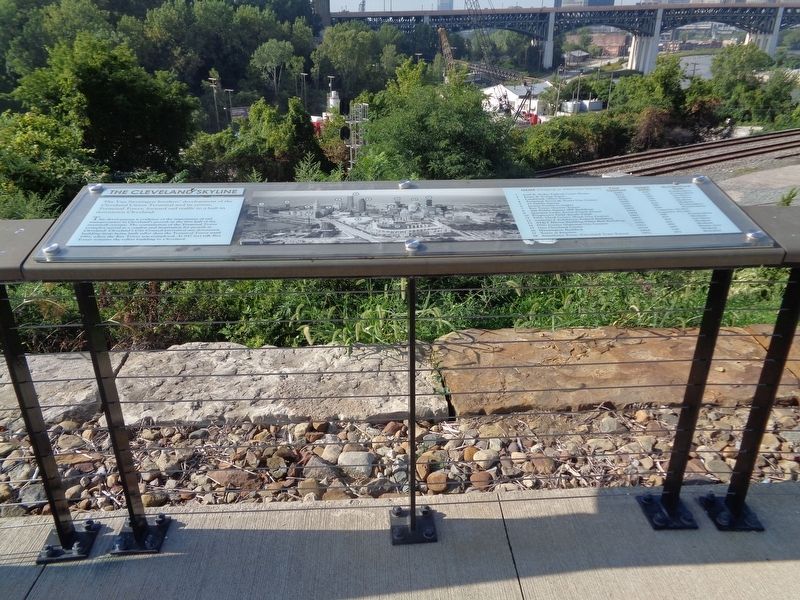
The Cleveland Skyline
(left:)
The Van Sweringen brothers' development of the Cleveland Union Terminal and its crown, Terminal Tower, focused rail traffic to a hub in downtown Cleveland.
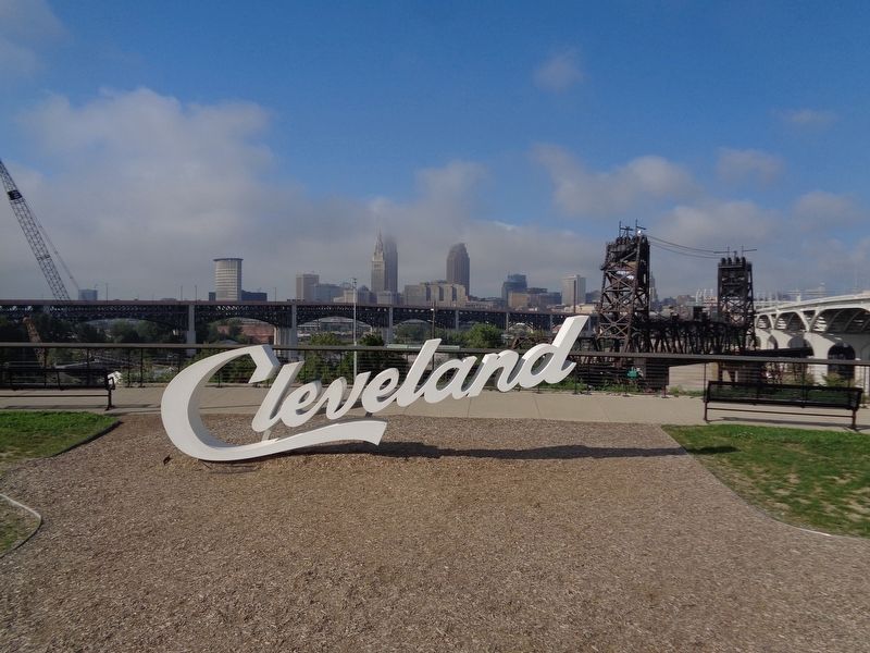
This development is evidence of the importance of rail transportation in Cleveland's growth in the first half of the twentieth century. The construction of the Terminal Tower Complex served as a catalyst and inspiration for growth in Cleveland. Cleveland's City Council prevented any downtown building from being built taller than the Terminal Tower until 1991, when the Key Tower was completed. At 947 feet tall, Key Tower remains the tallest building in Cleveland.
(right:)
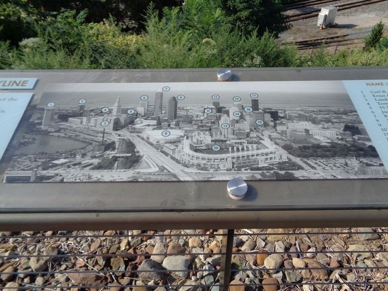
(this is a key to the map of the skyline in the center. The name of the building is first (original or alternate name is in parentheses), year opened, height (feet), and architectural style.)
1 Carl B. Stokes Federal Court House, 2002, 430, Postmodern
2 Ernst & Young Tower, 2013, 330, Postmodern
3 Landmark Office Towers, 1930, 260, Art Deco
4 Terminal Tower & Tower City Center, 1930, 708, Art Deco
5 55 Public Square, 1958, 300, Modern
6 Justice Center Complex, 1977, 420, Modern
7 Key Tower (Society Tower), 1991, 947, Postmodern
8 200 Public Square (BP Building), 1985, 658, Postmodern
9 Quicken Loans Arena (Gund Arena), 1994, Capacity: 20,562
10 Progressive Field (Jacobs Field), 1994, Capacity: 43,345
11 Fifth Third Center (Bank One Center), 1992, 446, Postmodern
12 Anthony J. Celebrezze Federal Building, 1967, 419, Modern
13 AT&T Huron Building (Ohio Bell Building), 1927, 365, Art Deco
14 PNC Center (National City Center), 1980, 410, Modern
15 One Cleveland Center, 1983, 450, Modern
16 Huntington Building, 1924, 289, Beaux Arts
17 Tower at Erieview, 1964, 529, Modern
18 Ameritrust Tower (Cleveland Trust Tower), 1971, 383, Brutalist
Topics. This historical marker is listed in these topic lists: Architecture • Railroads & Streetcars. A significant historical year for this entry is 1991.
Location. 41° 29.089′ N, 81° 41.586′ W. Marker is in Cleveland, Ohio, in Cuyahoga County. It is in Tremont. Marker is on Abbey Avenue west of West 14th Street, on the right when traveling west. Touch for map. Marker is at or near this postal address: 1502 Abbey Ave, Cleveland OH 44113, United States of America. Touch for directions.
Other nearby markers. At least 8 other markers are within walking distance of this marker. Industrial River Valley (a few steps from this marker); Three Generations of Bridges (within shouting distance of this marker); Camp Cleveland (approx. 0.3 miles away); Market Square (approx. 0.6 miles away); Saint Ignatius High School
(approx. ¾ mile away); Ohio City / Monroe Street Cemetery (approx. 0.8 miles away); Welcome to Monroe Street Cemetery (approx. 0.8 miles away); Irish Famine Memorial (approx. 0.8 miles away). Touch for a list and map of all markers in Cleveland.
Regarding The Cleveland Skyline. The Key Tower is the tallest building in the state of Ohio (as of 2020).
Credits. This page was last revised on February 4, 2023. It was originally submitted on September 22, 2020, by Jason Voigt of Glen Carbon, Illinois. This page has been viewed 345 times since then and 25 times this year. Photos: 1, 2, 3. submitted on September 22, 2020, by Jason Voigt of Glen Carbon, Illinois.
Editor’s want-list for this marker. a wide view of the marker • Can you help?


