Graceville in Big Stone County, Minnesota — The American Midwest (Upper Plains)
Graceville

Photographed by Minnesota Department of Transportation, 2015
1. Graceville Marker
Graceville marker in 2015 before rehabilitation. From https://www.dot.state.mn.us/roadsides/historic/gallery.html
Erected 1940.
Topics. This historical marker is listed in these topic lists: Religion & Religious Structures • Settlements & Settlers.
Location. 45° 34.083′ N, 96° 26.995′ W. Marker is in Graceville, Minnesota, in Big Stone County. It is on St Marys Avenue (Minnesota Route 28 at milepost 22), 0.9 miles west of U.S. 75, on the right when traveling west. Touch for map. Marker is in this post office area: Graceville MN 56240, United States of America. Touch for directions.

Regionally, this marker is in the Minnesota River Valley. It is also in the American Midwest, in the Corn Belt, and on the Great Plains. Globally, it is in North America, the Western Hemisphere, the Western World, and the Anglosphere. Historically, it
this page online
Other nearby markers. At least 3 other markers are within 10 miles of this marker, measured as the crow flies: Erected in Memory of Those Who Fought and Died in the World War (approx. 7½ miles away); The Chicago, Milwaukee, St. Paul & Pacific Depot (approx. 7½ miles away); St. Pauli Lutheran Church (approx. 9.8 miles away).
More about this marker. Below the original plaque is an additional bronze plaque with text: "This property has been placed on the National Register of Historic Places by the United States Department of the Interior."
Marked on Google Maps as "Graceville Wayside Park"
Also see . . .
1. Minnesota Department of Transportation description of this monument. A gallery of photos of this monument, including historical photos, and before and after photos of its restoration are here (scroll to third gallery on page). (Submitted on September 23, 2020, by John Neitz of Minneapolis, Minnesota.)
2. Entry for the Graceville Historical Marker site in the National Register of Historic Places.
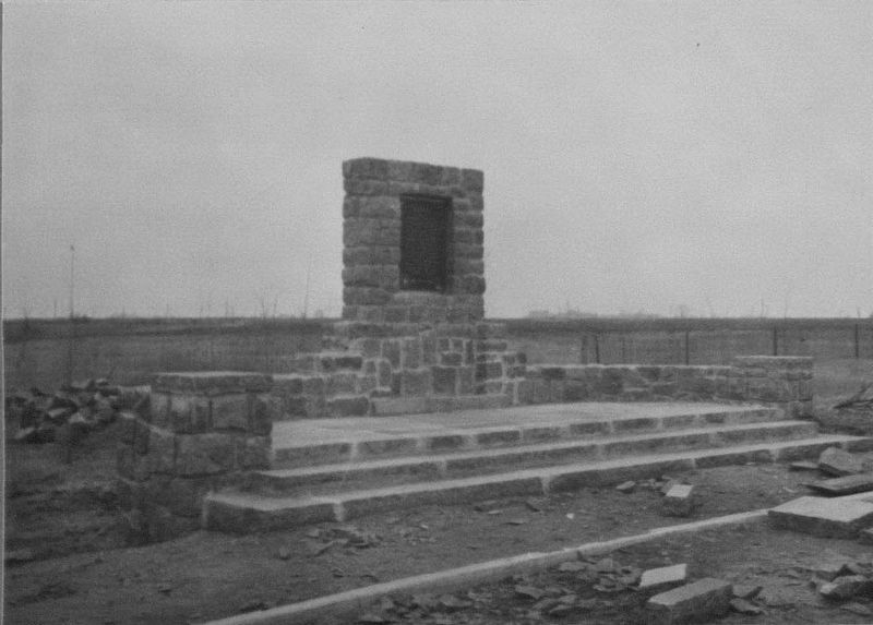
Photographed by Minnesota Department of Transportation, 1940
2. Graceville Marker
Historic photo by Olson from 1940. The marker was nearly complete.
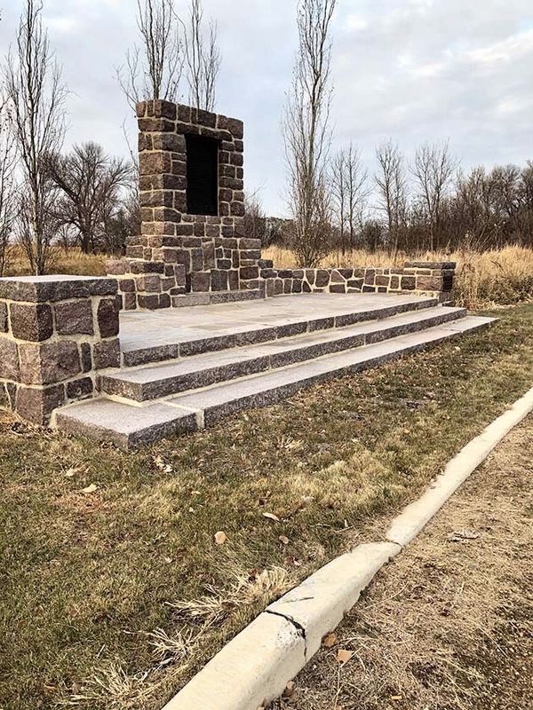
Photographed by Minnesota Department of Transportation, 2019
3. Graceville Marker
Graceville marker in 2019 after rehabilitation.
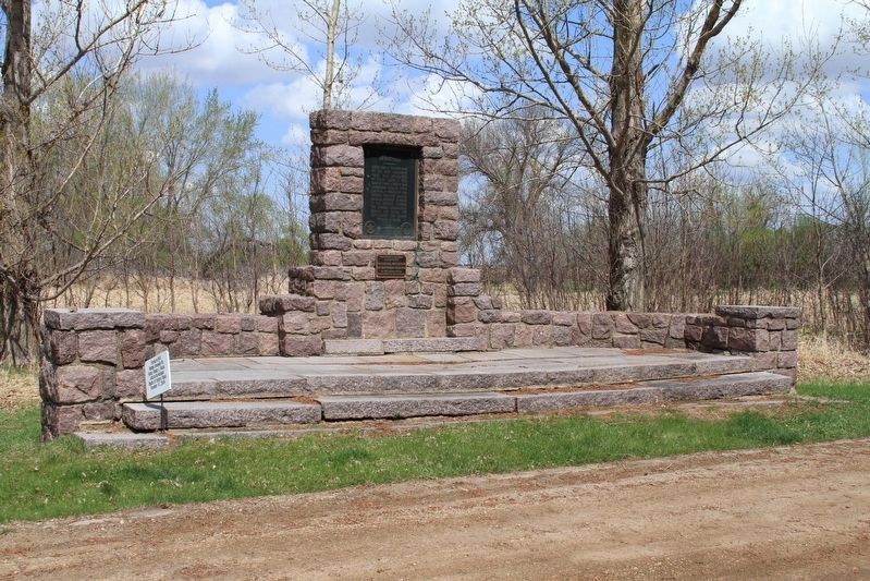
Photographed by Minnesota Department of Transportation, 2015
4. Graceville Marker
Graceville marker in 2015 before rehabilitation.
Credits. This page was last revised on September 24, 2020. It was originally submitted on September 23, 2020, by John Neitz of Minneapolis, Minnesota. This page has been viewed 599 times since then and 42 times this year. Photos: 1, 2, 3, 4. submitted on September 23, 2020, by John Neitz of Minneapolis, Minnesota. • Mark Hilton was the editor who published this page.
