Kerrytown in Ann Arbor in Washtenaw County, Michigan — The American Midwest (Great Lakes)
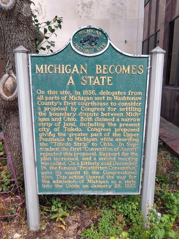
Michigan Becomes a State
On this site, in 1836, delegates from all parts of Michigan met in Washtenaw County's first courthouse to consider a proposal by Congress for settling the boundary dispute between Michigan and Ohio. Both claimed a narrow strip of land, including the present city of Toledo. Congress proposed giving the greater part of the Upper Peninsula to Michigan while awarding the "Toledo Strip" to Ohio. In September, the first "Convention of Assent" rejected this proposal. Support for the plan increased, and a second meeting was called. On a bitterly cold December 14, the famous "Frostbitten Convention" gave its assent to the Congressional plan. This action cleared the way for the admission of Michigan as a state into the Union on January 26, 1837.
Erected 1966 by Michigan Historical Commission. (Marker Number 261.)
Topics and series. This historical marker is listed in this topic list: Government & Politics. In addition, it is included in the Michigan Historical Commission series list. A significant historical date for this entry is January 26, 1837.
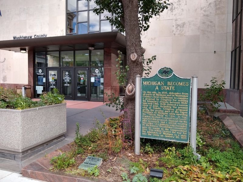
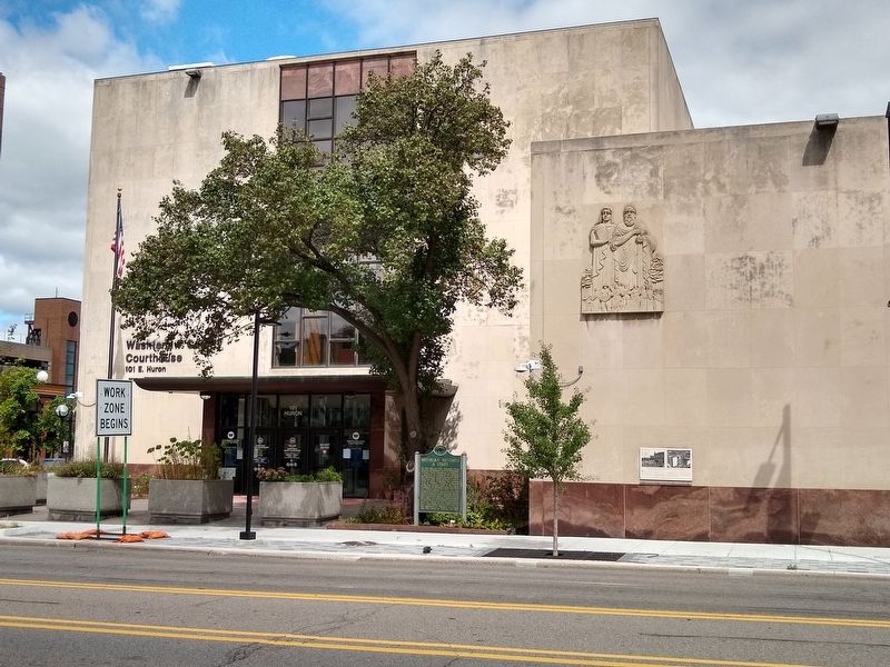
Location. 42° 16.892′ N, 83° 44.888′ W. Marker is in Ann Arbor, Michigan, in Washtenaw County. It is in Kerrytown. Marker is at the intersection of East Huron Street and Main Street, on the left when traveling east on East Huron Street. Marker is in front of the Washtenaw County Courthouse. Touch for map. Marker is at or near this postal address: 101 East Huron Street, Ann Arbor MI 48104, United States of America. Touch for directions.
Other nearby markers. At least 8 other markers are within walking distance of this marker. Building New Around Old: The Construction of the Present Courthouse (here, next to this marker); Hospitality on Courthouse Square (a few steps from this marker); Architecture & Business on Courthouse Square (a few steps from this marker); Departing Heroes and the Home Front (a few steps from this marker); Courthouse Square: A Center of Civic Life (a few steps from this marker); Politics and Processions on Courthouse Square (a few steps from this marker); The Last Deposit (within shouting distance of this marker); A Landmark of Civic Pride on Courthouse Square (within shouting distance of this marker). Touch for a list and map of all markers in Ann Arbor.
Also see . . .
1. Toledo War. Wikipedia article about the Michigan/Ohio border dispute. (Submitted on September 24, 2020, by Joel Seewald of Madison Heights, Michigan.)
2. “The Outrages Committed by the Authorities of Michigan”: The Toledo War. Ohio Memory website entry (Submitted on April 16, 2023, by Larry Gertner of New York, New York.)
Credits. This page was last revised on April 16, 2023. It was originally submitted on September 24, 2020, by Joel Seewald of Madison Heights, Michigan. This page has been viewed 637 times since then and 41 times this year. Photos: 1, 2, 3. submitted on September 24, 2020, by Joel Seewald of Madison Heights, Michigan.


