Independence in Washington County, Texas — The American South (West South Central)
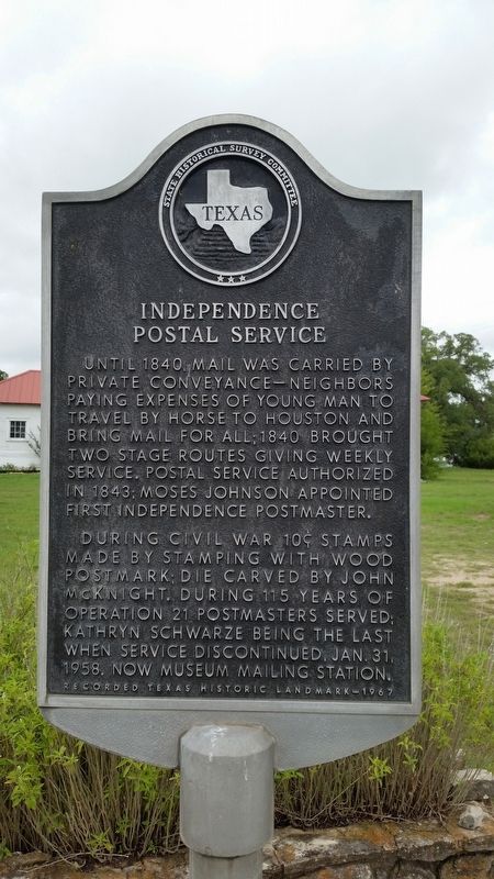
Independence Postal Service
Until 1840 mail was carried by private conveyance- neighbors paying expenses of young man to travel by horse to Houston and bring mail for all; 1840 brought two stage routes giving weekly service. Postal service authorized in 1843; Moses Johnson appointed first Independence Postmaster.
During Civil War 10 cent stamps made by stamping with wood postmark; die carved by John McKnight. During 115 years of operation 21 postmasters served; Kathryn Schwarze being the last when service discontinued, Jan. 31, 1958. Now museum mailing station.
Recorded Texas Historic Landmark - 1967
Erected 1967 by State Historical Survey Committee. (Marker Number 8359.)
Topics. This historical marker is listed in this topic list: Industry & Commerce. A significant historical date for this entry is January 31, 1958.
Location. 30° 19.194′ N, 96° 20.685′ W. Marker is in Independence, Texas, in Washington County. Marker is at the intersection of La Bahia Trail (Farm to Market Road 390) and McKnight Road, on the right when traveling west on La Bahia Trail. Touch for map. Marker is in this post office area: Brenham TX 77833, United States of America. Touch for directions.
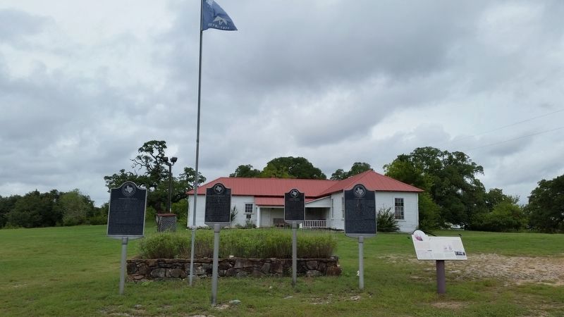
Other nearby markers. At least 8 other markers are within walking distance of this marker. Independence (here, next to this marker); Site of Mustering of a Unit of Hood's Texas Brigade, C.S.A. (here, next to this marker); Site of Independence School (here, next to this marker); Margaret Moffette Lea Houston (about 600 feet away, measured in a direct line); Houston-Lea Family Cemetery (about 600 feet away); Old Baptist Church (about 800 feet away); Home Built in 1845 by General Jerome B. Robertson (approx. ¼ mile away); A College Town (approx. ¼ mile away). Touch for a list and map of all markers in Independence.
Also see . . . Independence Texas. TexasEscapes.com (Submitted on September 27, 2020, by James Hulse of Medina, Texas.)
Credits. This page was last revised on September 27, 2020. It was originally submitted on September 26, 2020, by James Hulse of Medina, Texas. This page has been viewed 139 times since then and 16 times this year. Photos: 1, 2. submitted on September 26, 2020, by James Hulse of Medina, Texas. • J. Makali Bruton was the editor who published this page.

