Near Newark in New Castle County, Delaware — The American Northeast (Mid-Atlantic)
Mason Dixon Line & the Boundaries of Delaware
Photographed by Don Morfe, September 8, 2019
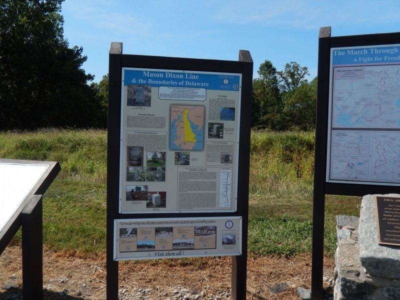
1. Mason Dixon Line & the Boundaries of Delaware Marker
* The 12-mile radius, surveyed 1701.
** The Transpeninsular Line, surveyed 1751.
*** The Mason-Dixon Line, surveyed 1763.
this page online
Description of Stones
Photographed by Don Morfe, September 8, 2019
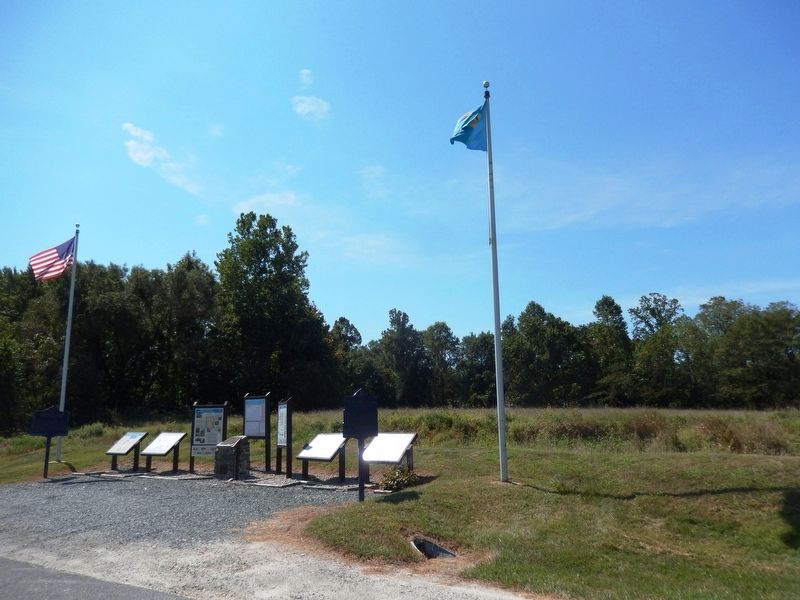
2. Mason Dixon Line & the Boundaries of Delaware Marker
also known as the Tangent Line
Mason and Dixon arrived in Philadelphia on November 13, 1763 and soon received instructions from the commissioners of Maryland and Philadelphia. They brought along state-of-the-art equipment for the survey. The equipment needed was not just for measuring distance such as a 65-foot long Gunter chain and a precision brass measure to calibrate that chain, but also instruments to measure the movement of the stars to determine ground location. Some of the equipment, such as a newly designed zenith sector and a new astronomical clock, were so delicate they were transported on a mattress laid on a cart with a spring suspension.
On June 18, 1764, Mason and Dixon headed south to the Middle Point. Along the way they hired axmen, a steward, tent keepers, cooks, and chain carriers, amounting to 39 workers in all. For several weeks, after reaching the Middle Point, the two surveyors worked their way north (3’36’6’ west) on a preliminary survey to mark the main points to another point they determined intersected the 12-mile circle. They then resurveyed south, back to the Middle Point, reaching it on September 25. During the resurvey, they found they were only two feet two inches off. The north tangent line bisected the 12-mile circle at mile post 82. From that point, Mason and Dixon were instructed to extend the line an additional five miles straight north to latitude 39’43’ north, establishing the west line at marker 87, called the in-state corner marker. When the line was surveyed it crossed to the inside of the arc line. The bulge created by the arc circle gave an additional 13 acres to Delaware.
Erected by Pencader Heritage Area Association.
Topics. This historical marker is listed in these topic lists: Colonial Era • Government & Politics. A significant historical year for this entry is 1632.
Location. 39° 38.46′ N, 75° 43.944′ W. Marker is near Newark, Delaware, in New Castle County. It is on Dayett Mills Road south of Old Baltimore Pike, on the right when traveling south. Touch for map. Marker is in this post office area: Newark DE 19702, United States of America. Touch for directions.

Regionally, this marker is in Greater Wilmington and in Greater Philadelphia. It is also in the American Mid-Atlantic, on the Delmarva Peninsula, and on the Eastern Seaboard. Globally, it is in the North Atlantic Region, North America, the Western Hemisphere, the Western World, and the Anglosphere. Historically, it finds itself in what was once New Netherland and also one of the original Thirteen Colonies.
Other nearby markers. At least 8 other markers are within walking distance of this marker: Your Gateway to Pencader Heritage (here, next to this marker); Milling in Pencader Hundred (here, next to this marker); Delaware's Field of Valor (here, next to this marker); Enjoy the Pencader Area Today (here, next to this marker); Geology (here, next to this marker); The Hundreds of Delaware (here, next to this marker); Revolutionary War Patriots (here, next to this marker); The Battle of Cooch’s Bridge (here, next to this marker). Touch for a list and map of all markers in Newark.
Credits. This page was last revised on December 31, 2023. It was originally submitted on September 18, 2019, by Don Morfe of Baltimore, Maryland. This page has been viewed 4,232 times since then and 224 times this year. Last updated on September 27, 2020, by Carl Gordon Moore Jr. of North East, Maryland. Photos: 1, 2. submitted on September 18, 2019, by Don Morfe of Baltimore, Maryland. • Bill Pfingsten was the editor who published this page.
