Near Watrous in Mora County, New Mexico — The American Mountains (Southwest)
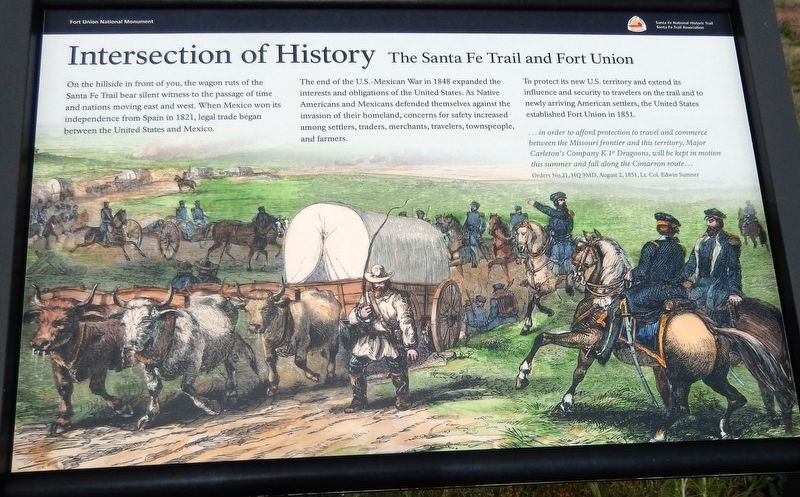
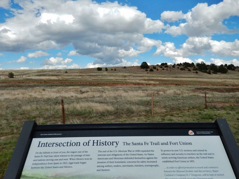
Intersection of History
The Santa Fe Trail and Fort Union
— Fort Union National Monument —
The end of the U.S.-Mexican War in 1848 expanded the interests and obligations of the United States. As Native Americans and Mexicans defended themselves against the invasion of their homeland, concerns for safety increased among settlers, traders, merchants, travelers, townspeople, and farmers.
To protect its new U.S. territory and extend its influence and security to travelers on the trail and to newly arriving American settlers, the United States established Fort Union in 1851.
... in order to afford protection to travel and commerce between the Missouri frontier and this territory, Major Carleton's Company K 1st Dragoons, will be kept in motion this summer and fall along the Cimarron route…
—Orders No.21, HQ 9MD, August 2,1851, Lt. Col. Edwin Sumner
Erected by Santa Fe Trail Association.
Topics and series. This historical marker is listed in these topic lists: Forts and Castles • Industry & Commerce • Native Americans • Settlements & Settlers. In addition, it is included in the Santa Fe Trail series list. A significant historical year for this entry is 1851.
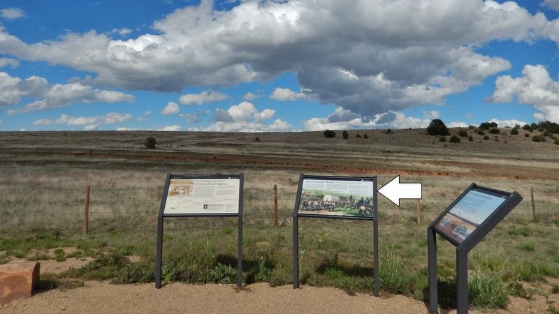
Location. 35° 50.171′ N, 104° 59.886′ W. Marker is near Watrous, New Mexico, in Mora County. Marker is on New Mexico Route 161, 2.3 miles north of Interstate 25, on the right when traveling north. Marker is the center of three related interpretive panels at the Mountain Branch Trail Ruts Overlook on New Mexico Route 161. Touch for map. Marker is in this post office area: Watrous NM 87753, United States of America. Touch for directions.
Other nearby markers. At least 8 other markers are within 4 miles of this marker, measured as the crow flies. A New Community Sprouts Roots (here, next to this marker); From Indigenous Trail to International Highway (here, next to this marker); A Show of Strength (approx. 0.6 miles away); Tides of Change (approx. 0.6 miles away); Lasting View (approx. 0.6 miles away); La Junta (approx. 2.6 miles away); Watrous - Western Junction of the Santa Fe Trail (approx. 3.2 miles away); Watrous (approx. 3.9 miles away). Touch for a list and map of all markers in Watrous.
Related markers. Click here for a list of markers that are related to this marker. Fort Union National Monument
Also see . . .
Fort Union, New Mexico – Protecting the Santa Fe Trail. Fort Union was the largest U.S. military post in the region and a base for both military and civilian ventures that molded its destiny. Astride the southern end of the Mountain Branch of the Santa Fe Trail near the point where it merged with the southern terminus of the Cimarron Cutoff, the post was one of the most important of a string established in New Mexico and southern Arizona in the area acquired from Mexico in the Mexican War (1846-48). (Submitted on September 28, 2020, by Cosmos Mariner of Cape Canaveral, Florida.)
Credits. This page was last revised on September 29, 2020. It was originally submitted on September 27, 2020, by Cosmos Mariner of Cape Canaveral, Florida. This page has been viewed 133 times since then and 9 times this year. Photos: 1, 2, 3. submitted on September 28, 2020, by Cosmos Mariner of Cape Canaveral, Florida.


