Perryville in Perry County, Arkansas — The American South (West South Central)
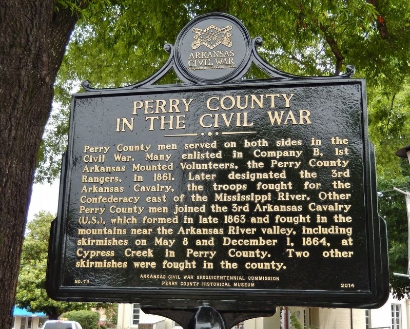
Perry County in the Civil War
Erected 2014 by Arkansas Civil War Sesquicentennial Commission, Perry County Historical Museum. (Marker Number 74.)
Topics and series. This historical marker is listed in this topic list: War, US Civil. In addition, it is included in the Arkansas Civil War Sesquicentennial Commission series list. A significant historical year for this entry is 1861.
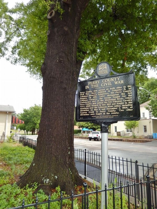
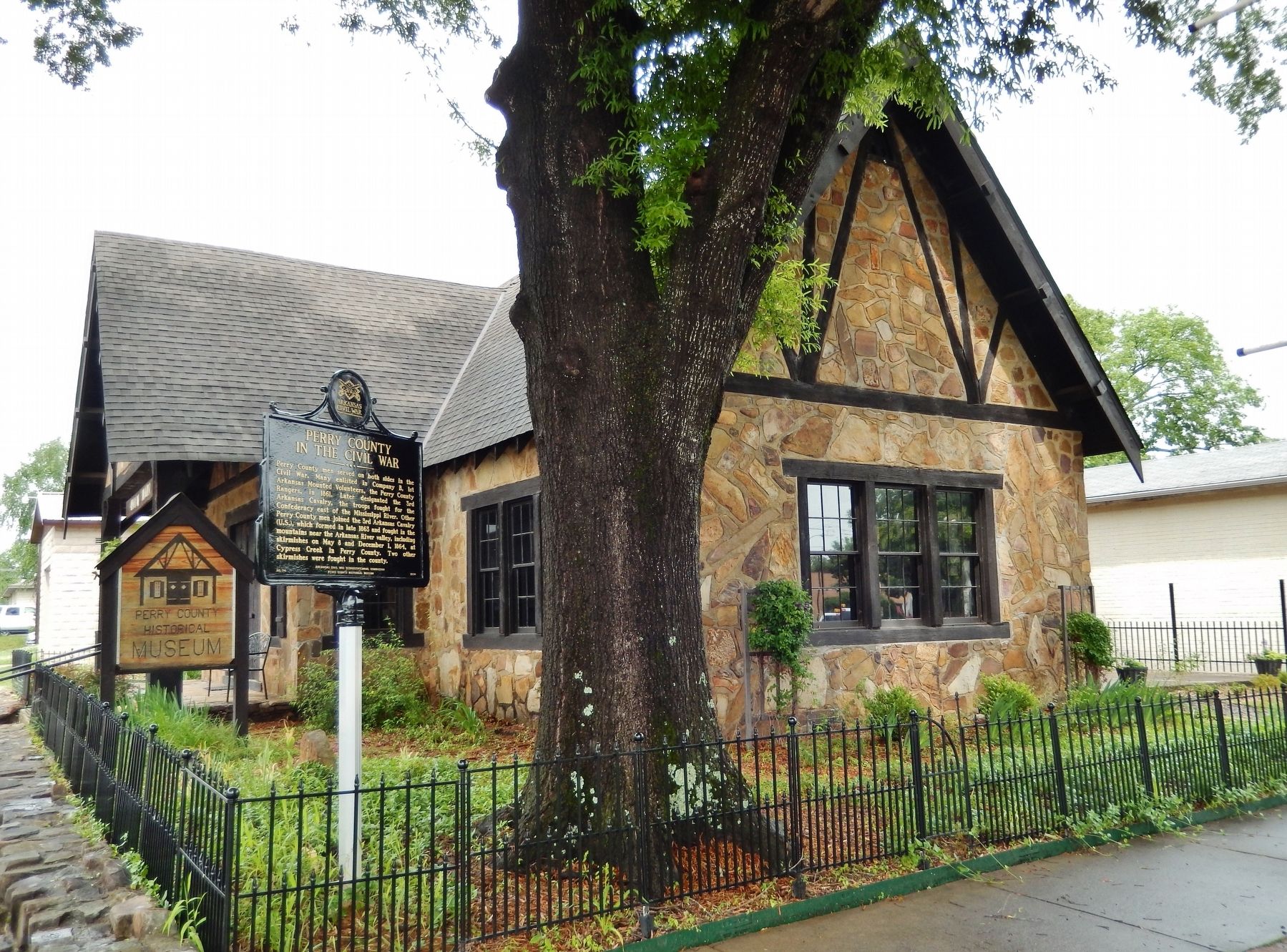
Location. 35° 0.295′ N, 92° 48.215′ W. Marker is in Perryville, Arkansas, in Perry County. Marker is at the intersection of West Main Street and North Plum Street, on the left when traveling east on West Main Street. Marker is located near the southeast corner of the Perry County Historical Museum. Touch for map. Marker is at or near this postal address: 408 West Main Street, Perryville AR 72126, United States of America. Touch for directions.
Other nearby markers. At least 8 other markers are within 11 miles of this marker, measured as the crow flies. Perry County Court House (within shouting distance of this marker); City of Perryville (about 500 feet away, measured in a direct line); The Legend of Petit Jean (approx. 8.7 miles away); Arkansas River of Yesterday (approx. 8.7 miles away); Petit Jean Mountain and the Trail of Tears (approx. 8.7 miles away); Stout's Point: Your Legacy (approx. 8.7 miles away); Stout's Point: 1920s & 1930s (approx. 8.8 miles away); Old Lewisburg (approx. 10.2 miles away). Touch for a list and map of all markers in Perryville.
Credits. This page was last revised on May 5, 2021. It was originally submitted on September 27, 2020, by Cosmos Mariner of Cape Canaveral, Florida. This page has been viewed 315 times since then and 44 times this year. Photos: 1, 2, 3. submitted on September 27, 2020, by Cosmos Mariner of Cape Canaveral, Florida.


